We are sorry but we do not have any active promotions at this time
Subscribe to our newsletter to be among the first to hear about any upcoming promotions and stay informed.
In the meantime, explore our current offering.
Special offer valid until January 1st, 2024 - 9AM CET
00
days
00hours
00minutes
00seconds
1-Year package


USD3,045 / Year
Billed one time, excl. taxes
Billed one time, excl. taxes
Save up to 50%
Get 3 applications for as low as 254 USD/month
1-Year package

USD5,094 / one-time
Billed one time, excl. taxes
Billed one time, excl. taxes
Save up to 40%
Get 3 applications for as low as 425 USD/month
Do you have any questions?
Please don't hesitate to contact us we will be glad to assist you in any of your inquiries.
Package description

Next-generation image processing software for photogrammetry and LiDAR data. Easily handles large datasets without splitting, significantly reducing processing time. Merge aerial and terrestrial data whilst ensuring accuracy. Produce survey-grade deliverables by generating accurate digital 3D maps and models.

PIX4Dsurvey extracts and vectorizes essential elements from photogrammetry, laser scans, or LiDAR. Boost productivity and accuracy and manage point clouds with intuitive tools. Integrate your projects into any CAD or GIS software or with PIXDmatic for professional results.

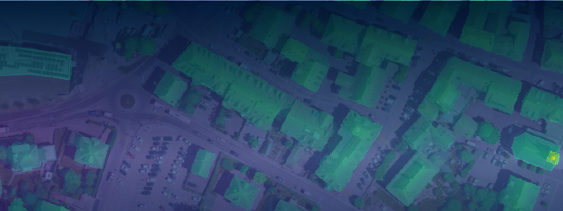
Streamline mapping with aerial and terrestrial data. Easily capture, process, and share georeferenced orthomosaics, 3D meshes, and point clouds. Extend capabilities with PIX4Dcloud Advanced for site progress tracking, accuracy, and enhanced reporting. Share project data securely with standard file formats using just a link.
PIX4Dcloud Advanced, the online platform for ground and drone mapping, allows you to document projects with ease. Track site progress with a visual timeline and compare between as-built and as-designed with the Overlay Tool. Improve project management by comparing volumes over time. Use annotation markers and reports for easy sharing and monitoring.