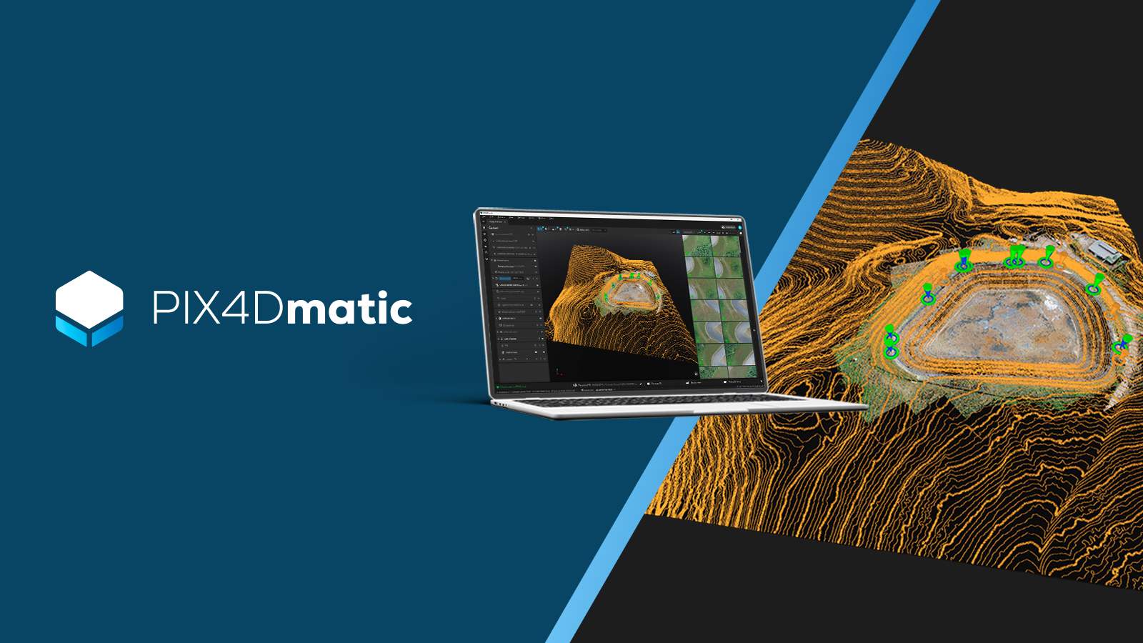
Why we built PIX4Dmatic as a complete geospatial platform
PIX4Dmatic unites large-scale processing with survey-grade extraction in one workflow, from aerial or terrestrial capture to CAD/GIS.
PIX4D and Esri launch underground utilities mapping workflow
PIX4D and Esri launch a workflow to map underground utilities in real-time, connecting cm-accurate field data directly to ArcGIS technology
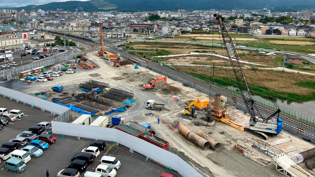
Cut rebar inspection time by 50%+ with smartphone scanning
A leading infrastructure firm saved 850 hours on a major railway project by replacing manual measurements with PIX4Dcatch phone scanning.
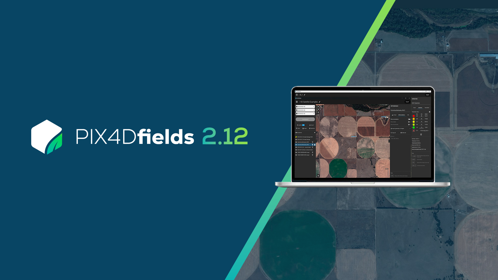
PIX4Dfields 2.12: high-resolution satellite imagery
PIX4Dfields 2.12 introduces high-resolution satellite imagery, VRA support for EAVision spray drones, and more!
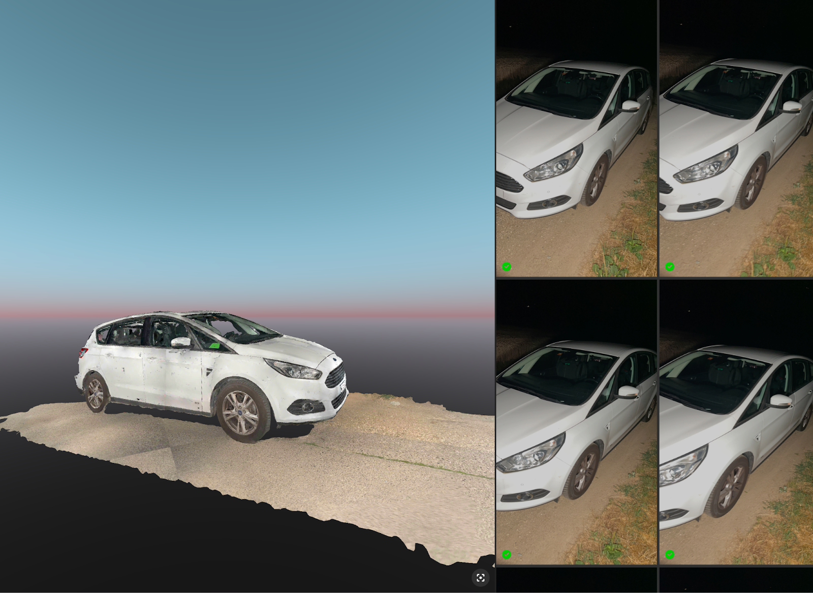
Mapping in the dark with PIX4Dcatch and DIY Lighting
Scan accidents at night or dark utility cabinets with PIX4Dcatch and DIY lighting. See how field tests prove high-quality 3D data results.
Pix4D names Puget Systems certified hardware provider
Pix4D and Puget Systems partner for specialized benchmark testing of Pix4D software on Puget Systems hardware.
$25,875 fertilizer savings using PIX4Dfields
Custom fertilizer maps based on nitrogen levels in St. Augustine grass resulted in saving 34.5 tons of fertilizer.
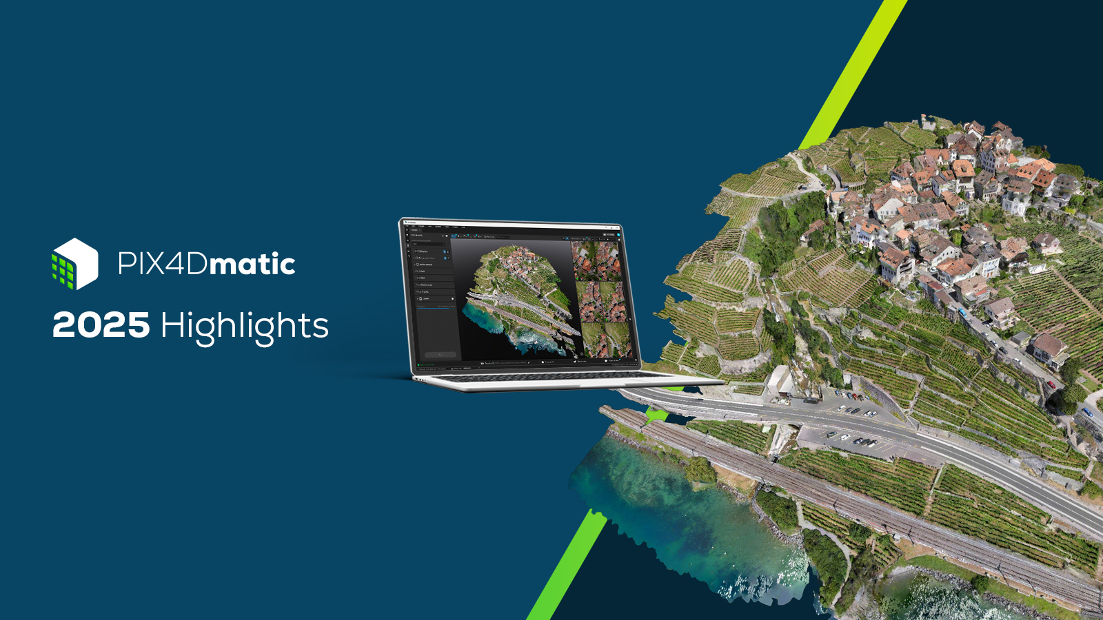
PIX4Dmatic highlights 2025
A new orthomosaic editor, combine LiDAR point clouds with drone data, LandXML volume calculations, more accurate vector drafting & more!!
PIX4Dcloud highlights 2025
From georeferenced Gaussian Splatting for phone and drone, to scaling team collaboration, discover the top updates for PIX4Dcloud in 2025.
Drone mapping a 1,500-acre golf course with PIX4Dmatic
For high precision and speed, a land surveyor used PIX4Dmatic to map a large golf course in just three weeks, processing over 11,000 images!
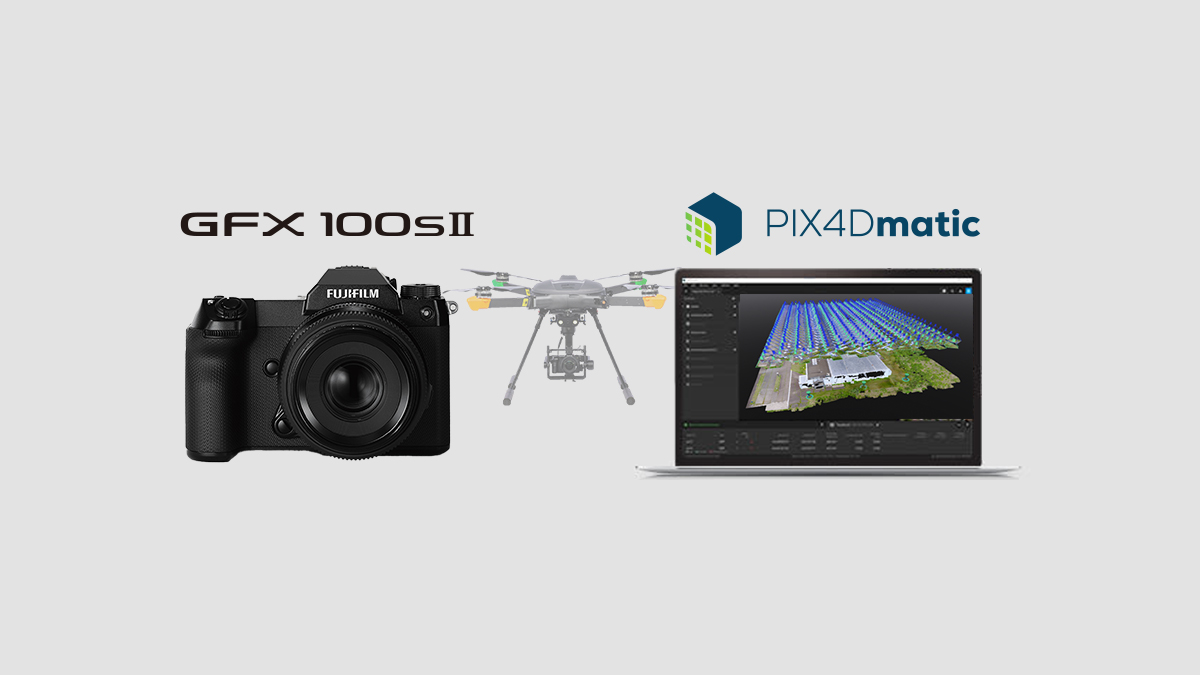
PIX4Dmatic now supports processing for FUJIFILM GFX100S II
Strengthening inspection and surveying workflows with 102-MP large-format images.
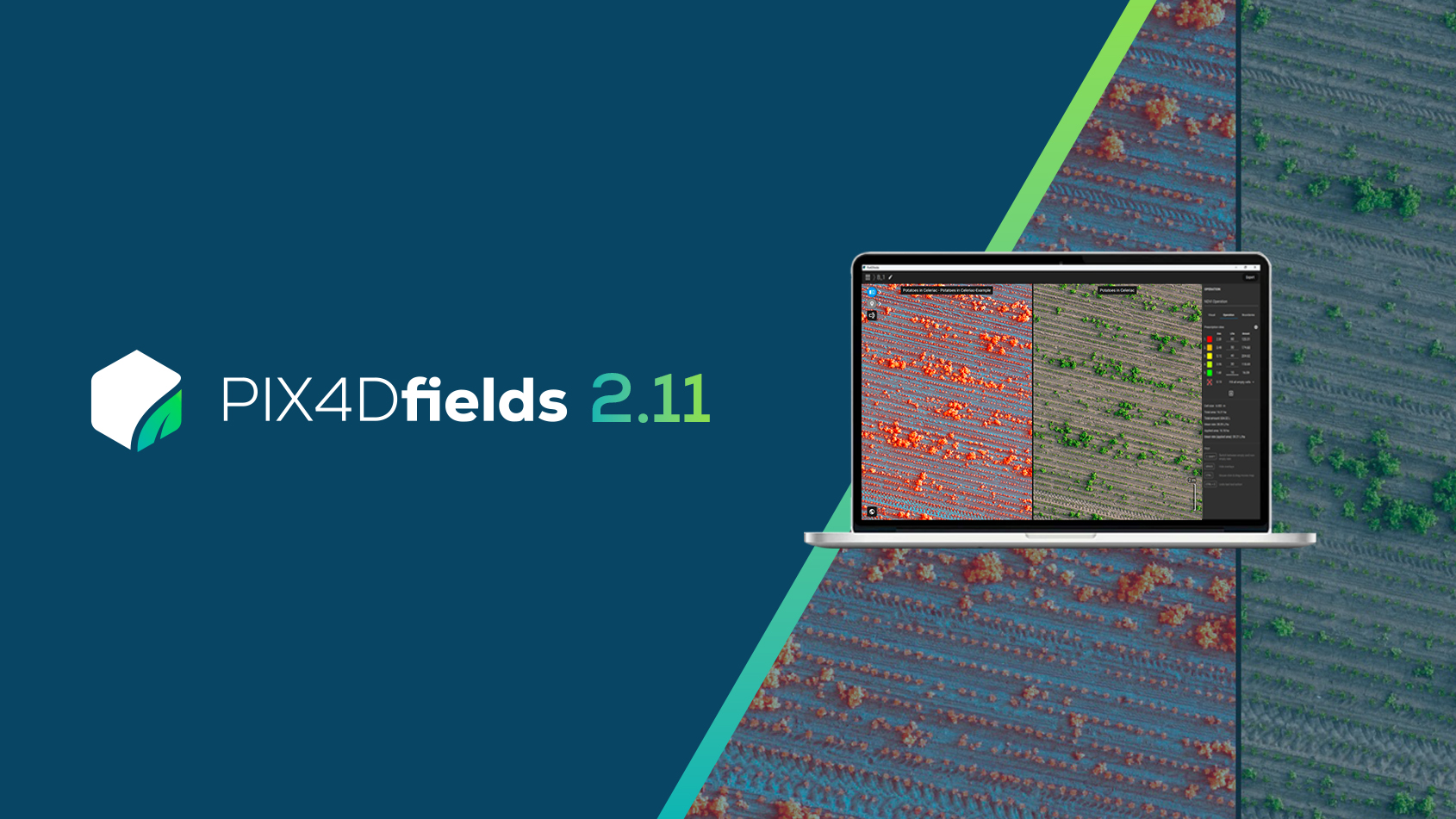
PIX4Dfields 2.11: access hidden crop insights
PIX4Dfields 2.11 introduces false color composite views, new tractor & spray drone exports, and more!
