Drone mapping a 1,500-acre golf course with PIX4Dmatic
Pantalone Industries is a professional land surveying company founded in 2021 by Stephen Pantalone. They offer a full range of surveying services, including boundary surveys, topographic mapping, construction layout, and as-built certifications. We caught up with Stephen about his latest project, mapping a very large golf course with drones and PIX4Dmatic.
Digital survey with drones
Pantalone Industries uses technologies like 3D surface modeling and clash detection to allow virtual “walk-throughs” of a site before any ground is broken, helping to minimize errors and prevent costly rework.
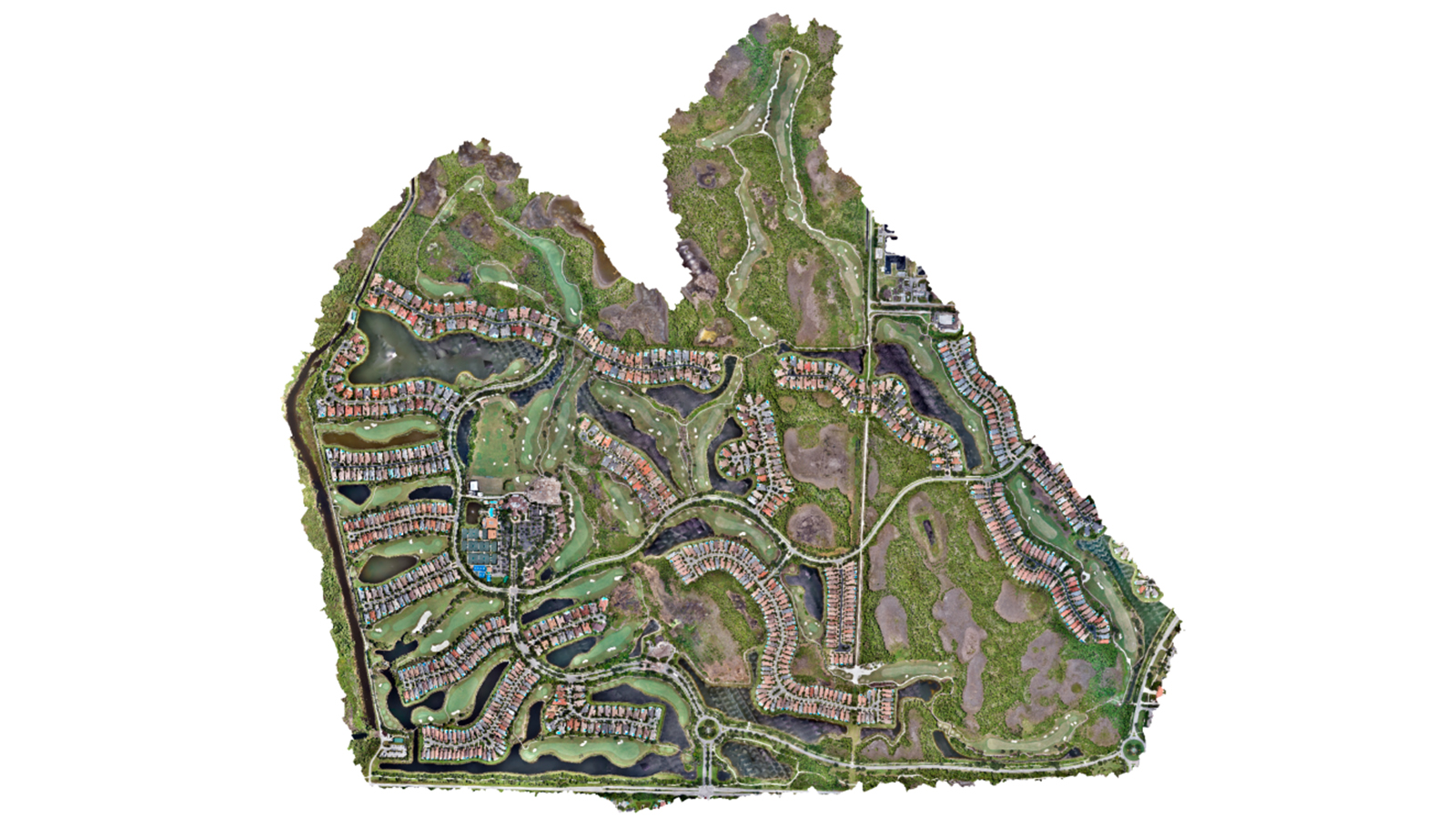
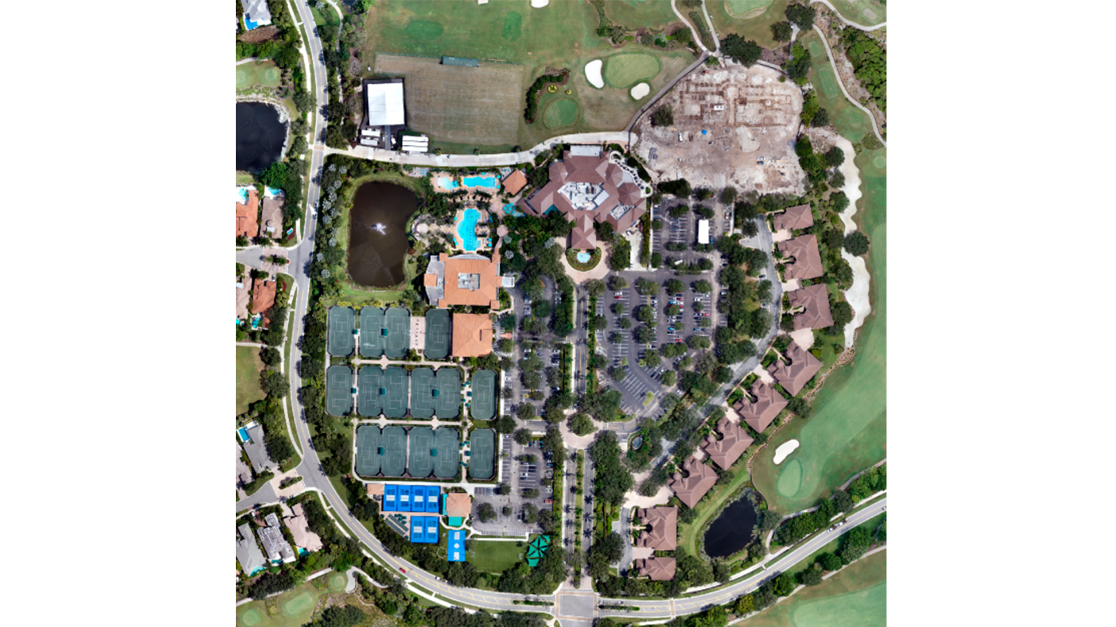
The project in question involved providing an updated topographic survey and high-resolution aerial imagery of the gold course for The Country Club at Mirasol in Palm Beach Gardens, Florida. The survey spanned a vast 1,500-acre area and was essential for redesigning the golf course. Pantalone Industries required high precision while working against a tight deadline.
The golf courses required current and accurate topographic data to guide improvement plans. Updated aerial imagery and elevation models were critical for planning, grading, and landscape optimization. The updated survey would serve as a foundation for redesign decisions.
Key challenges of the large-scale mapping project
- Covering the expansive 1,500-acre site within a limited timeframe
- Line-of-sight and connectivity issues due to the site’s size
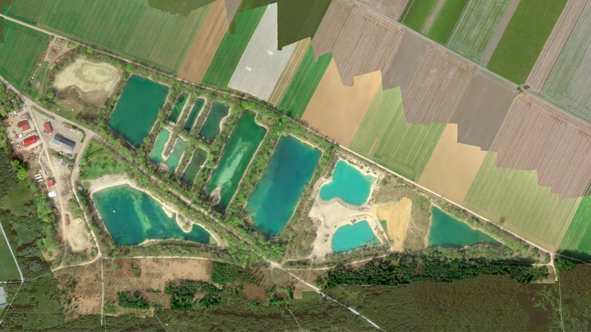
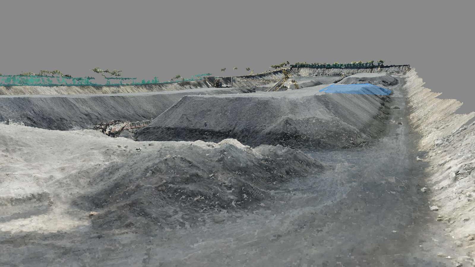
- A significant discrepancy between ground control data and aerial processing for part of the project
- Long processing times caused by the massive dataset size
First, they purchased a Trinity Pro PPK drone, which would be capable of covering the site in approximately 10 hours. They established three launch locations to maintain connectivity and line-of-sight. To resolve the discrepancy, they planned to reprocess the affected area with overlap from the initial flight and merge it with corrected data from a new flight path.
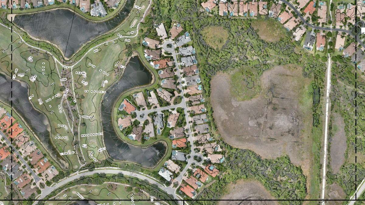
They used PIX4Dmatic to handle the dataset more efficiently and speed up processing where possible. Below is the topographic survey map of the golf course and surrounding area.
Workflow
They used Pix4D software to target different steps of the workflow. The data from the Trinity Pro PPK drone was first fed into PIX4Dmatic for efficient processing of the massive dataset — over 11,000 images!
The final, high-resolution models were then shared with the client on PIX4Dcloud, giving them an interactive platform to view and explore the data independently. The integration between PIX4D's software suite created a seamless workflow from start to finish.
Project details
| Location | The Country Club at Mirasol in Palm Beach Gardens, Florida |
| User | Pantalone Industries |
| Project duration | 3 weeks |
| Area surveyed | 1500 acres |
| Software used | PIX4Dmatic, PIX4Dcloud, Civil3D,QGIS |
| Hardware used | Trinity Pro PPK drone, PC: high-performance workstation optimized for large-scale processing |
| Images captured | Total images: 11,192 |
| Processing time | First run took 35 hours |
| GSD | 0.045’ ft (1.37 cm) |
Impact
The project delivered up-to-date, highly accurate topographic and aerial data to support the redesign of both courses, which enabled the golf club to make informed design decisions, optimize grading, and improve the course layout efficiently.
Pix4D’s suite of tools provides robust and reliable photogrammetry solutions, capable of processing extremely large datasets while delivering survey-grade accuracy. The integration between PIX4Dmatic and PIX4Dcloud made data sharing and client collaboration seamless.
“PIX4Dmatic’s ability to handle our largest dataset to date with speed and accuracy was impressive. The integration with PIX4Dcloud streamlined our workflow and made it easy for our client to explore the results." – Stephen Pantalone, CEO, Pantalone Industries
Geo Networking, particularly Shag, Jeremy, and Trevor have played a key role in our adoption of drones and Pix4D, providing product demonstrations and support with training and software onboarding.