PIX4Dfields 2.10: KI-Objektauswahl und vieles mehr!
PIX4Dfields 2.10 bietet eine KI-gestützte Auswahl von Feldgrenzen und Hindernissen, neue Exportfunktionen für Agrardrohnen, und vieles mehr!
Generating GIS-compliant utility maps with PIX4Dcatch
Undocumented or poorly documented underground utilities are a common challenge. A campus team tests PIX4Dcatch with RTK as a solution.
Kann ein Smartphone unterirdische Leitungen erfassen?
PIX4Dcatch offers an alternative to costly traditional methods for accurately mapping underground structures such as tunnels.
PIX4Dfields 2.9: Intelligenteres AI Magic Tool, und mehr!
PIX4Dfields 2.9 bietet ein verbessertes Magic Tool, Unterstützung von Wassermanagement-Exporten, eine Adresssuche und vieles mehr!
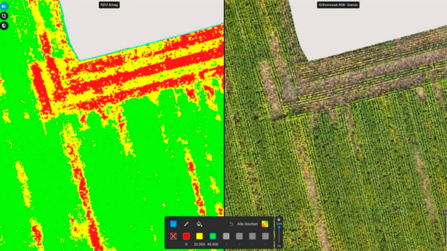
Bewertung von Wildschäden für die Ernteversicherung
Wie Copterinspect schnell und präzise Wildschweinschäden im Mais bewertete und einem Landwirt bei seinen Versicherungsansprüchen half
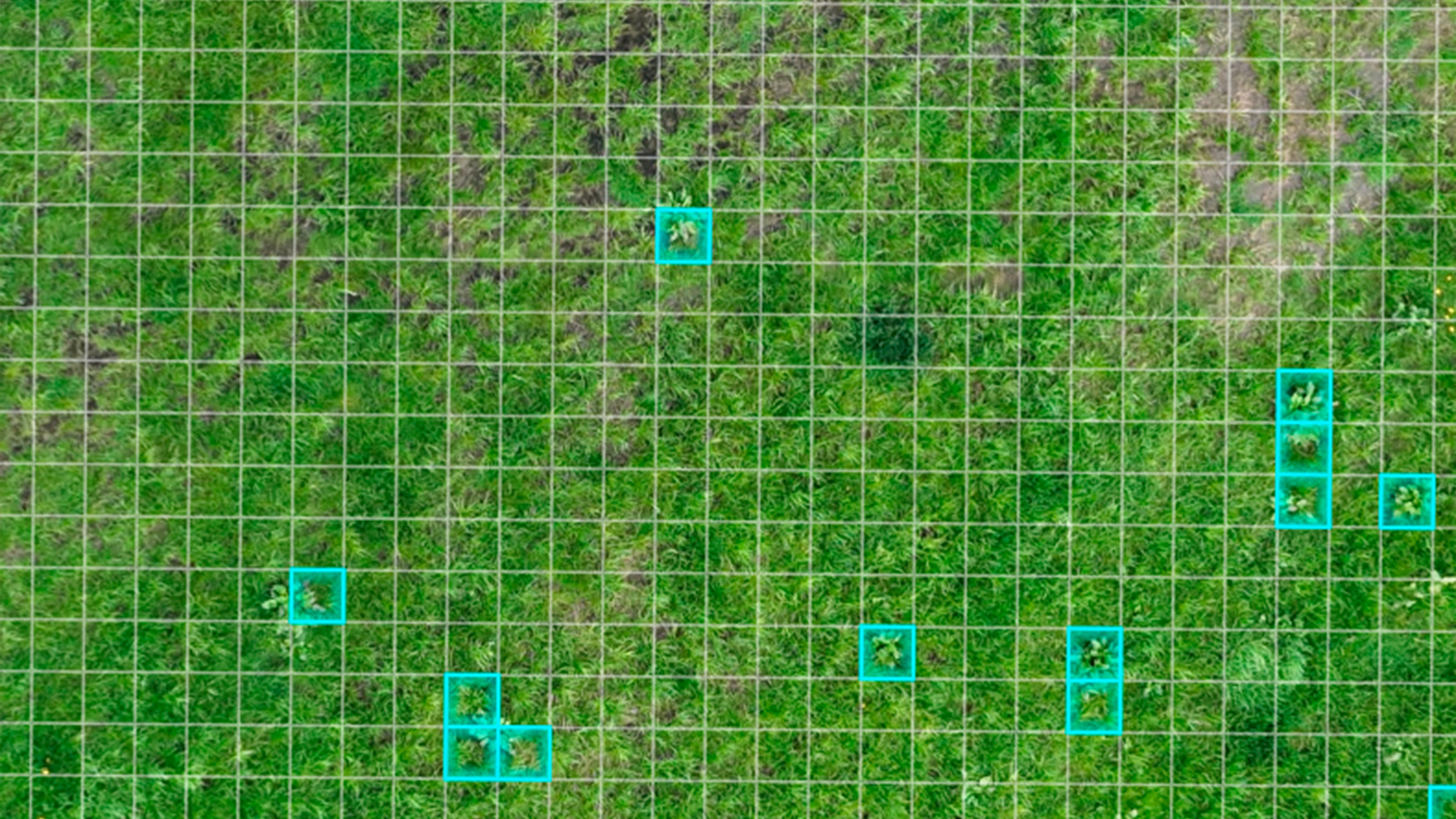
90 % weniger Herbizideinsatz mit PIX4Dfields
Copterinspect reduzierte Herbizidverbrauch und Kosten mit dem Magic Tool von PIX4Dfields.
PIX4Dfields 2.8: XAG-Applikationskarten und KI-Berichte!
PIX4Dfields 2.8 bietet präzise XAG VRA und Spot-Sprühkarten, KI-gesteuerte Wachstumsberichte, Unterstützung für 15-Band-Sensoren und mehr!
PIX4Dfields 2.7: Manuelle Pflanzenzählung, und mehr!
PIX4Dfields 2.7 bringt Ihnen die manuelle Zählfunktion, ISOXML-Unterstützung für MAC, Unterstützung der ungarischen Sprache und mehr!
PIX4Dfields 2.6: AMAZONE Spot-Spraying Karten und mehr!
PIX4Dfields 2.6 bringt Ihnen AMAZONE-Spot-Spraying Karten, einen verbesserten Zonierungs-Workflow und vieles mehr!
PIX4Dcatch mit RTK: Lernen Sie die besten Praktiken
Erkunden wir häufige Fehler bei PIX4Dcatch RTK und wie man sie vermeidet für nahtlose Aufnahmen.
PIX4Dcatch RTK: learn the best capture practices (1)
Let's explore some common mistakes users make when using PIX4Dcatch RTK and how you can avoid them for a seamless capturing experience.
Förderung einer nachhaltigen Landwirtschaft mit PIX4Dfields
Das Digitale Experimentierfeld Südwest nutzte das Magic Tool von Pix4Dfields, um den Herbizideinsatz zu reduzieren.
