Inspección de puentes con drones con PIX4D
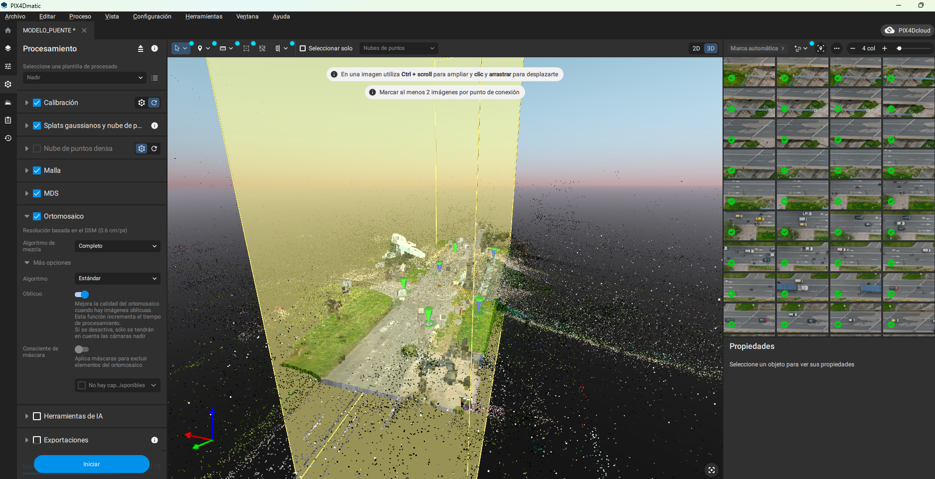
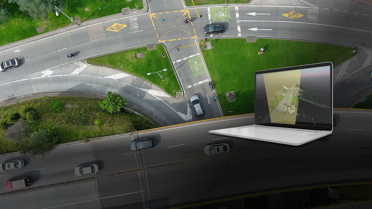
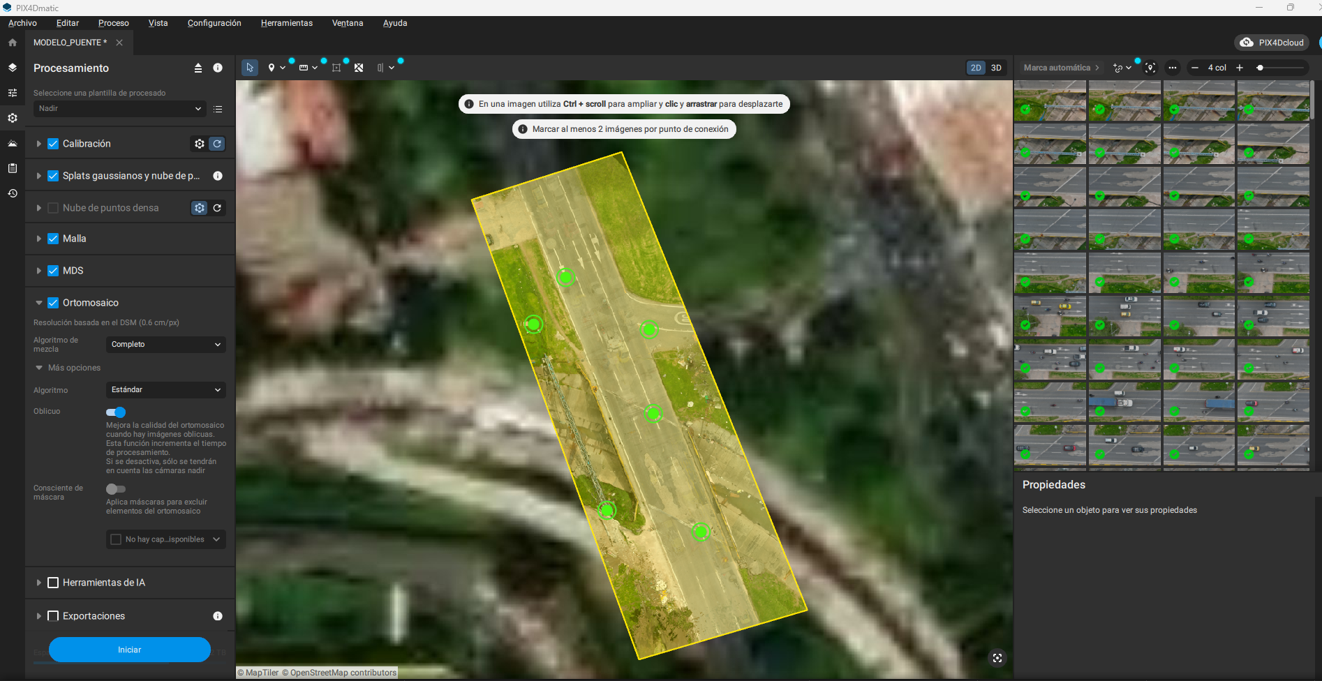
Linear Projects Inspection & Monitoring (LPIM) tiene su sede en Bogotá D.C., Colombia, pero opera a nivel nacional, inspeccionando, monitoreando y gestionando proyectos de infraestructura crítica mediante el mapeo con drones y el análisis geoespacial. Hablamos con ellos sobre su proyecto más reciente de inspección de puentes, en el cual utilizaron el mapeo con drones, procesando los datos con PIX4Dmatic para inspeccionar 16 puentes en Bogotá, y emplearon PIX4Dcloud para colaborar con los clientes durante el proyecto.
Cinco problemas clave en las inspecciones tradicionales de puentes
Este proyecto abordó cinco problemas clave asociados con las inspecciones tradicionales de puentes, especialmente dentro de un entorno urbano muy transitado:
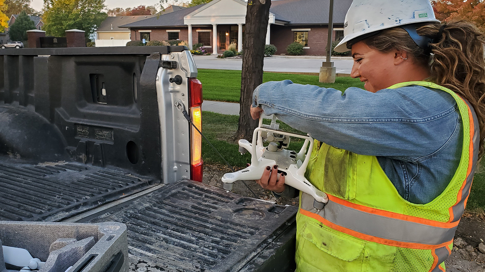
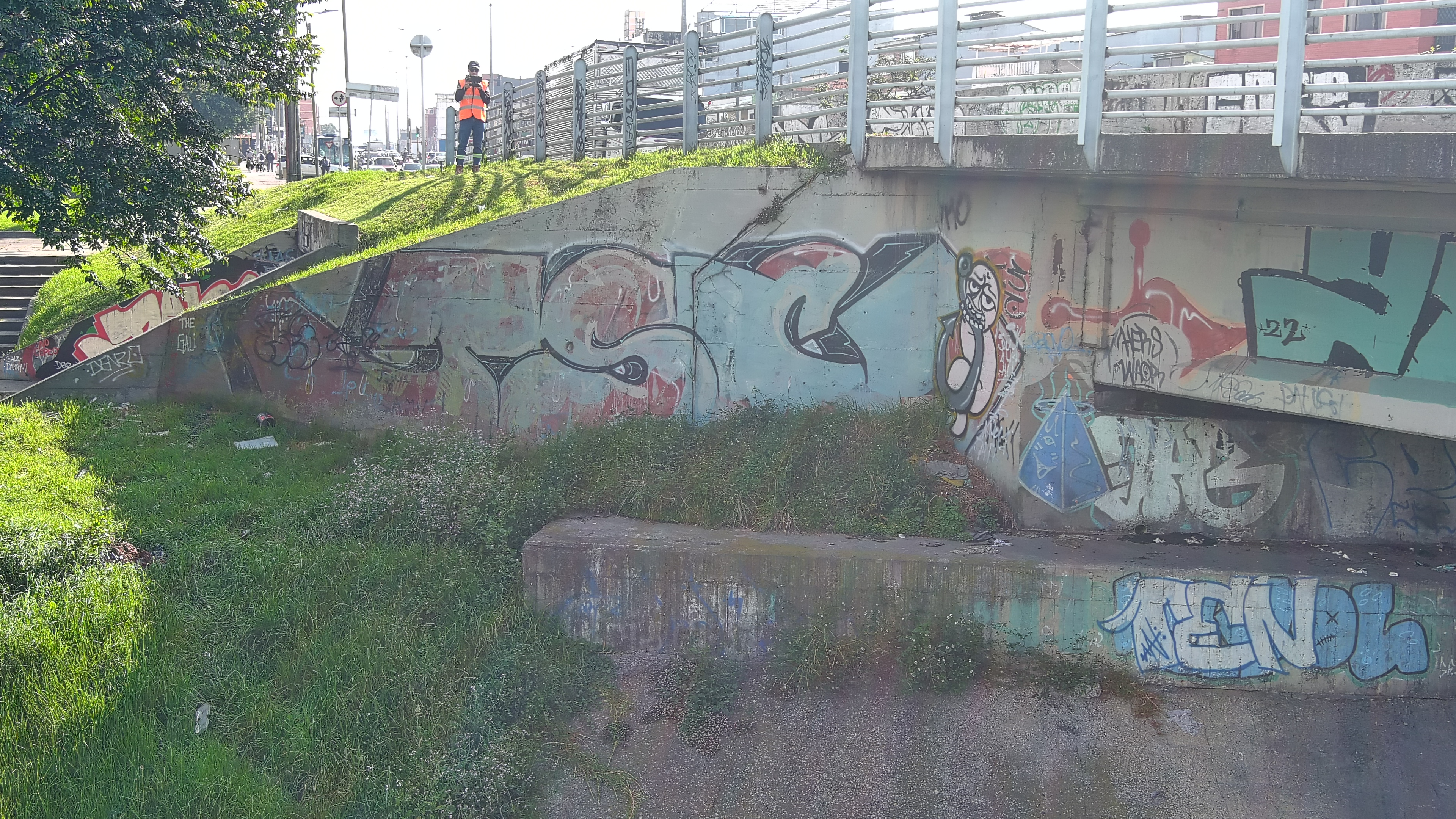
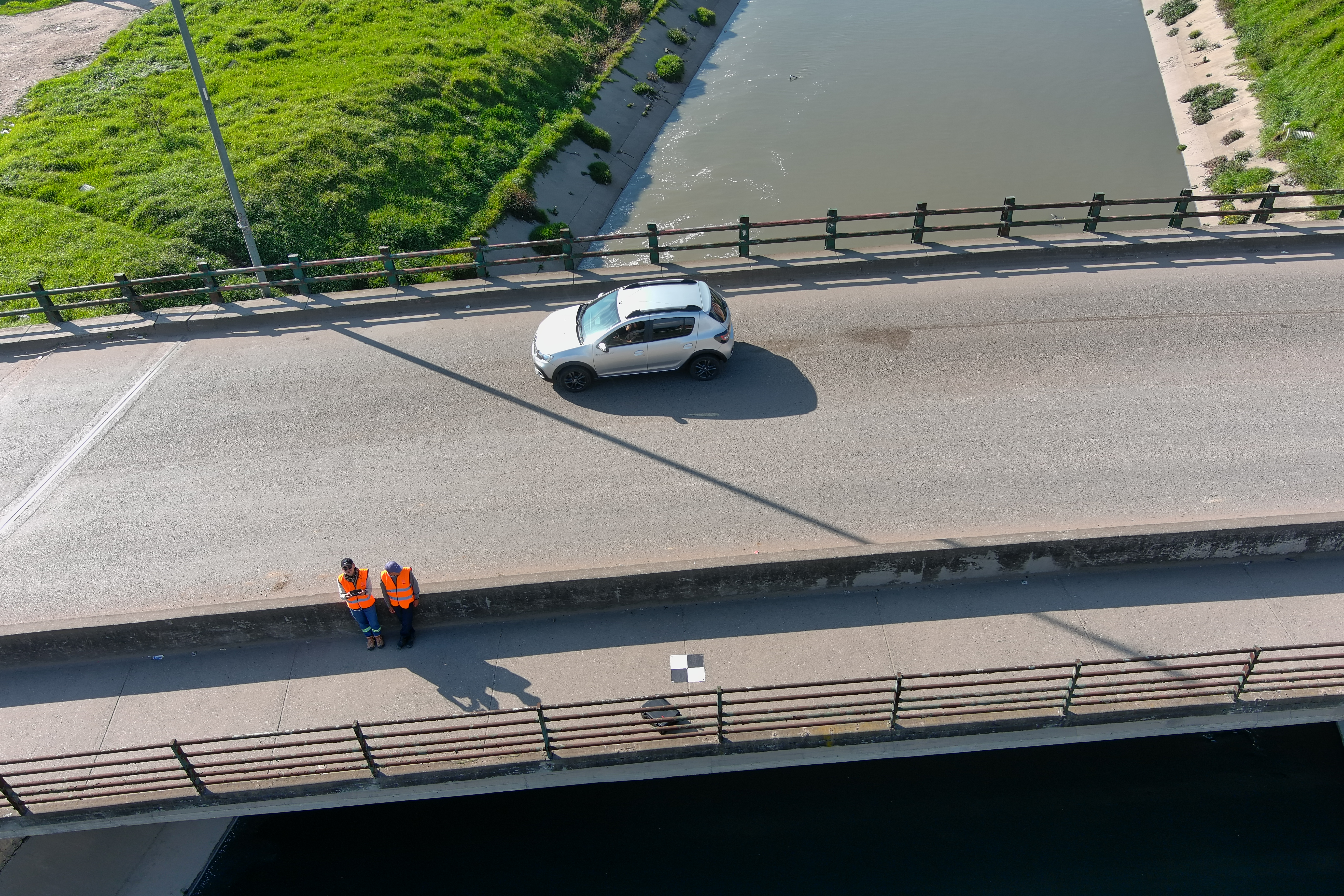
- Límites de acceso y riesgos de seguridad: Ocurren al inspeccionar partes estructurales altas o de difícil acceso, como vigas, apoyos y la parte inferior del tablero. Esto aumenta los riesgos para los trabajadores y altera el tránsito de la ciudad. El uso de drones permitió inspeccionar estas áreas de forma segura y remota, sin interferir con el tráfico.
- Falta de cobertura visual completa: Gracias a las rutas de vuelo planificadas y a la captura sistemática de imágenes RGB y LiDAR, se garantizó el 100% de cobertura de todos los elementos visibles, reduciendo la posibilidad de pasar por alto daños en etapa inicial o zonas críticas de la estructura.
- Tiempos de entrega lentos en las inspecciones: PIX4Dmatic procesó los datos con rapidez, haciendo posible la generación de modelos, ortomosaicos y material visual georreferenciado en muy poco tiempo, lo que permitió la entrega rápida de informes preliminares.
- Poca trazabilidad y precisión espacial: Las fotos estándar rara vez muestran la ubicación exacta de los defectos estructurales. PIX4Dmatic soluciona esto al vincular cada hallazgo con su lugar preciso en el modelo 3D, facilitando la catalogación de daños, el monitoreo de cambios y la comparación de datos a lo largo del tiempo.
- Falta de un registro digital objetivo, estructurado y reutilizable: El mapeo con drones mediante el flujo de trabajo de PIX4D resolvió esto al proporcionar una reconstrucción digital precisa. Este registro permanente elimina el papeleo subjetivo, ofreciendo una referencia exacta y repetible para rastrear el deterioro y gestionar el mantenimiento a largo plazo.
Obstáculos del proyecto
La inspección tuvo que sortear los estrictos desafíos operativos, ambientales y de seguridad que son típicos de la infraestructura urbana en una ciudad como Bogotá. Uno de los principales obstáculos fue el clima impredecible de la ciudad. Las fuertes lluvias provocaron el aumento del nivel del agua en los ríos y canales debajo de los puentes. Esto afectó directamente la capacidad de realizar capturas de la parte inferior de las estructuras el mismo día de los vuelos nadirales (cenitales), lo que obligó al equipo a reprogramar las operaciones y dividir la captura de datos en diferentes etapas para garantizar tanto la seguridad como la calidad de la información. Esto requirió una planificación de vuelo flexible, un alto nivel de experiencia por parte de los pilotos y una rápida toma de decisiones en el campo.
Al procesar rápidamente los datos disponibles, el equipo aseguró que los ingenieros estructurales tuvieran acceso a datos precisos para su análisis —disponibles a través de un enlace compatible con PIX4Dcloud—, incluso cuando el proceso de captura tuvo que realizarse por etapas.
“PIX4Dcloud fue clave para fortalecer la colaboración con nuestros clientes (Stakeholders) durante el proyecto. La posibilidad de compartir los resultados en la nube nos permitió mostrar los hallazgos de forma clara, visual y georreferenciada, incluso desde etapas muy tempranas. Esto facilitó discusiones técnicas más productivas, redujo tiempos de retroalimentación y alineó rápidamente a todos los actores involucrados. Además, el equipo de soporte de PIX4D siempre estuvo disponible y dispuesto a acompañarnos de forma cercana y personalizada, lo que es fundamental cuando se trabaja en proyectos reales de infraestructura con altos niveles de exigencia técnica." - Yoly Andrea Cubides, Project Manager, Lpim
Detalhes do projeto
| Ubicación | Bogotá, Colombia |
| Usuario | Lpim |
| Duración del proyecto | 45 días calendario, 16 puentes (desde la captura hasta la entrega final) |
| Área del proyecto | 0.402 km² |
| Número total de imágenes | 2,664 |
| Imágenes por vuelo/conjunto de datos | 167 |
| Software utilizado | PIX4Dmatic, PIX4Dcloud |
| Hardware utilizado | Autel EVO II Pro RTK V2 drone + RTK |
| CPU | 13th Gen Intel(R) Core(TM) i9-13900K |
| RAM | 64GB |
| GPU | NVIDIA GeForce RTX 4070 Ti & Intel(R) UHD Graphics 770 |
| Sistema operativo | Windows 11, 64-bit |
| GSD (Distancia de muestreo del suelo) | < 2 cm / px |
Inspecciones de puentes un 75% más rápidas con PIX4D y drones
Esta metodología redujo los tiempos de inspección en campo en un 75%, minimizó los riesgos del trabajo en alturas y amplió la cobertura visual de los elementos críticos. También introdujo evidencia digital georreferenciada, lo que mejoró significativamente la objetividad y la trazabilidad en comparación con los métodos tradicionales. El proyecto demostró que estas soluciones no pretenden reemplazar a los expertos de la industria, como topógrafos o ingenieros, sino potenciar su trabajo proporcionándoles información más completa, precisa y oportuna.
Al procesar rápidamente los datos de los vuelos de drones escalonados, PIX4Dmatic convirtió fotos dispersas en un registro maestro 3D preciso y georreferenciado. Esto permitió a los ingenieros realizar diagnósticos remotos más rápidos y exactos. El papeleo tradicional se reemplazó por una base de datos digital reutilizable, entregando el seguimiento histórico preciso que se necesita para el monitoreo y mantenimiento de puentes a largo plazo.
¿Por qué elegir PIX4D para la inspección de infraestructura crítica?
Se consideraron otras soluciones de fotogrametría y geomática, pero finalmente se eligió PIX4D porque era la que mejor se adapta a las demandas operativas de las inspecciones de infraestructura crítica. Ofrece una amplia variedad de opciones de procesamiento y logra resultados de alta calidad utilizando diferentes tipos de material de entrada.
“PIX4Dmatic fue esencial para procesar las imágenes de los puentes de forma rápida y precisa. Nos permitió organizar, analizar y validar de manera confiable grandes cantidades de datos en plazos muy estrictos. A partir de ahí, PIX4Dcloud hizo que fuera increíblemente fácil compartir los resultados con las partes interesadas, como los ingenieros estructurales. Nos dio una forma visual y accesible de colaborar en línea, agilizar la comunicación y tomar decisiones rápidas basadas en datos" - Juan Sebastián Moreno, Gerente de Geomática, LPIM