Be part of it
Join other Pix4D users, drone enthusiasts and GIS-perts and talk about tech that’s changing the world. There’s a lineup of user stories, new products to explore, and some of the most interesting people around – your peers.
Stay in the know
Subscribe for Pix4D User Conference updates and news and be the first to know about our upcoming events.
Be a speaker
We want to hear from you. We're looking for a Pix4D expert user like you to share your project with our community. Ready to take the lead?
Apply now!McNichols Civic
Center Building
144 W. Colfax Avenue Denver, CO 80202, USA

What happened at the last User Conference in 2019?
10/02

Christoph Strecha
CEO - Pix4D
- 09:00 - 09:30 - Welcome - Christoph Strecha, CEO (Pix4D)
- 09:30 - 09:50 - What Happens When We Get Real Automation? - Chris Anderson, CEO & Founder (3DR)
- 10:00 - 10:30 - Product portfolio - Lorenzo Martelletti, Director of Strategy and Products (Pix4D)
- 10:30 - 11:00 - Coffee break
- 11:00 - 11:20 - Knowledge from images: Machine learning at Pix4D - Jeff Muller, Platform Development Director (Pix4D)
- 11:20 - 11:40 - Pix4D new product 1 - Nathan Moore, Product Manager (Pix4D)
- 11:40 - 12:00 - Pix4D new product 2 - Angad Singh, Technical Sales Engineer (Pix4D)
- - Mining Reclamation and Drones: Integrating UAV technology and data products into an established regulatory framework - Leigh Simmons (Colorado Department of Natural Resources)
- - Structure from Motion for Civil Design & Engineering: How Pix4D and consumer grade sensors are advancing traditional land surveying - Jonathan Ellinger (S&F Land Services)
- - Aligning PPK Geotags to Local Vertical CRS Without Ground Control - Jack Wilcox (Wingtra)
- - Achieving and certifying survey-grade accuracy with the Phantom 4 RTK and Pix4D - Logan Campbell (Aerotas)
- - Drone Mapping of California wildfires: Prevention and Response - Gregory Crutsinger (Scholar Farms)
- - Data processing & Fixed Wing drones can change Disaster response - Darshan Divakaran (NCDOT)
- - Forensic Scene in Darkness with sUAS - Douglas Spotted Eagle (Sundance Media Group)
- - Innovating Humanitarian Response & Disaster Management through Drones - Hyun Choi (Altohelix)
FLOOR 2: PUBLIC SAFETY & EMERGENCY RESPONSE
- - Proof of concept: modeling buildings for architectural design - Dan Kemme (Dekker/perich/sabatini)
- - Rebuilding historic sites in 3D and augmented reality using drone imagery - Jim Casey (Freelancer)
- - Using Pix4D for REPI easement monitoring in the Mojave Desert - Philip Murray (Cardno)
- - Pix4D in archaeological sites in Latin America - Alvaro Ruiz (Coatzadrone)
- - Radiometry for multispectral analysis - Klaus Schneider-Zapp - Technical Lead (Pix4D)
- - Insights from the Drone Uses for Agriculture Roadshow - Trevor Witt (Kansas State University)
- - Effective Agronomic Scouting Methods - Andrew Newsum (Indigo)
- - Enabling Scale in Agriculture - Matt Isenbarger (AeroVironment)
FLOOR 2: AGRICULTURE
10/03

Christina Gkintzou
Technical Support Manager - Pix4D
- 09:00 - 09:20 - Behind the scenes with the Pix4D Support Team - Christina Gkintzou, Technical Support Manager (Pix4D)
- 09:20 - 09:40 - Unlocking Pix4Dmapper's Toolbox - Jeff Miller - Technical Trainer (Pix4D)
- 09:40 - 10:00 - An introduction into thermal imaging - Klaus Schneider-Zapp, Technical Lead (Pix4D)
- - Thermal Considerations for Aerial Modeling - Randall Warnas (FLIR Systems)
- - Mapping the Pitch Dark Entrails of the Earth - Nicolas Rey (Flyability)
- - Solar Array Treeline Shade Model - John Plymale (Ewe AV)
- - Utilizing Reality Modeling to Improve Bridge Inspection Results - Barritt Lovelace (Collins Engineers)
- - Marrying Drones and VR/AR with Pix4D in the Classroom - Chris Strasbaugh (The Ohio State University)
- - Integrating Pix4D into College Accredited Classes - Mike Davis (Columbia Gorge Community College)
- - Teaching a New Workforce about Photogrammetric Fundamentals and UAS Data Collection Workflows - Joseph Cerreta (Embry-Riddle Aeronautical University)
- - Preparing scholars to be ``UAV Career Ready`` - Jacquene Curlee (Kids Drone Zone)
- - Bridging a Skills Gap in UAS Data Collection and Analysis into an accredited Aviation and Aerospace Science program - Josh Noel (Metropolitan State University of Denver)
FLOOR 2: ACADEMIA
- - Image Acquisition Techniques and Relative Accuracy: How to Take Great Photos for Pix4D Processing - Neal Carter (Kineticorp)
- - Innovative Techniques and Practical Workflows for 3D Visualization Projects - Mark Johnson (Visual Law Group)
- - A more accurate processing of crash scenes while saving valuable time - Andrew Klane (Forensic Mapping Solutions)
- - A silk purse from a sow's ear - Making an actionable 3D product of a major aircraft accident site from poor image acquisition - Bill English (NTSB)
- - Solving Civil Engineering and Surveying Challenges with UAS - Justin Jenkins (Ensign Engineering)
- - Complex Vertical Photogrammetry - Capturing Rockfaces in the Rocky Mountains for Geohazard Analysis - Jon Altschuld (Chinook Landscape Architecture)
- - How to model complex areas to produce low noise, high quality 3D Textured Meshes - Paul Aitken (DroneU)
FLOOR 3: SURVEYING & ENGINEERING 1
- - A Pix4D toolset for automating 1mm accuracy. Use case: 15th century stone wall mapping - Ken Varner (Vaireco)
- - Collaborative mixed reality with Pix4D-generated 3D mesh models to create shared immersive experiences - Scott Aldridge (CDM Smith)
- - Digital Slope Hazard Mapping and Risk Assessment - Ian Thompson (Civil Geotechnical Consultants)
- - Large scale cliff face modelling - Will Heesterman (The Surveying Company)
- - Supporting Solid Waste Engineering with Pix4D and Aerial Drones - Sean Christian (Los Angeles County Sanitation Districts)
- - The Potential of UAS for enhancing/validating SLAMM model predictions of Sea Level Rise and Coastal Wetland Migration Pathways - Scott Graves (Southern Connecticut State University)
FLOOR 2: ENVIRONMENTAL CONSERVATION
Agenda 2021
Topic
Opening Keynote
- Hear from our CEO Christoph Strecha as we reflect on the past, from our own Jeff Muller as we explore the future, and our CCO Lorenzo Martelletti to share upcoming promos
Pix4D Speed Quiz
- Join this interactive session and put your Pix4D technical knowledge to the test. Prizes for the winners!
Lessons Learned the Hard Way
- Our Training team will share with you PIX4D users' most common mistakes and how to avoid them in the future.
Multidrones Efficiency - Mapping 65 km2 in Two Days
- Robert Leake, senseFly
Advantages of Processing WingtraOne GEN II Drone Images on Pix4Dmatic
- Trent Casi, Wingtra
Enabling BIM into practice
Nicolai Nolle, Vigram
Digital Asset Management for UAV Programs
- Will Africano, Gnarbox
(Japanese) Head 3D measurement system / 頭の形状3D計測システム
- Hirokazu Muraki, KOKUSAI KOGYO CO. LTD.
Pix4D for storytellers - Providing context with Pix4D
- Pete Kelsey, VCTO Labs LLC
Increasing Industry Diversity
- Sharon Rossmark, CEO Women and Drones & Dawn Zoldi, CEO P3 Tech Consulting
Be part of it
Do you have a Pix4D account or an invitation code?
FREE
All the sessions were recorded. Register now to watch all the available content (valid for 6 months)
Standard ticket
USD 99
All the sessions were recorded. Register now to watch all the available content (valid for 6 months)
In order to access the platform please click the URL in the email you received. If you have issues, please contact marketing@pix4d.com
Featured speakers
Over a full day a lineup of users mapped out their real-world experiences with Pix4D. Different applications, different industries, all fascinating.
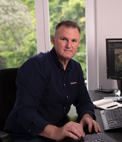
Patrick de Jourdan
MEASUREit.xyz

Martin Herkommer
Quantum Systems

Rida Klink
Augment - Digital Facilities Services
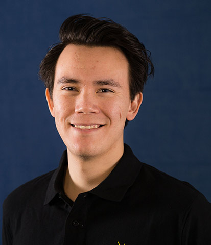
Robert Leake
senseFly
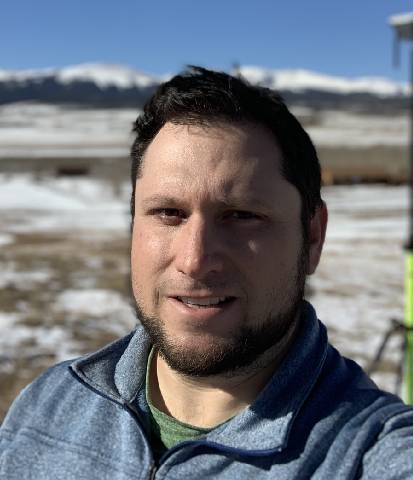
Jon Altschuld
Chinook Landscape Architecture
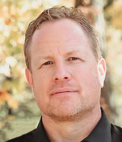
Eric Ward
Motorola Solutions

Pedro Olivares
AV3 Aerovisual

Taichi Furuhashi
CrisisMappers Japan

Gregoire Saint-cast
Ivadrones
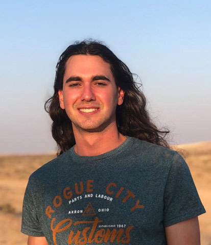
Logan Woolfson
Unitrans Africa
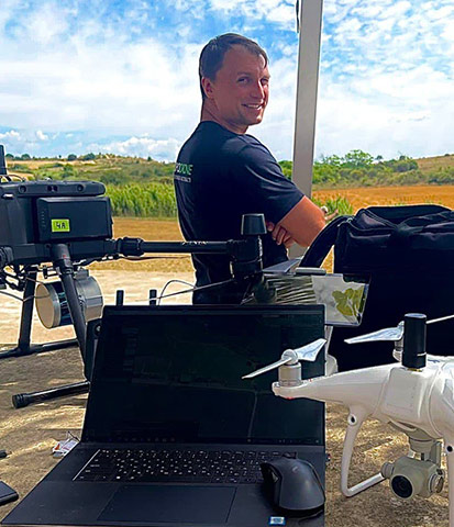
Maxim Bablykov
TOPODRONE SA
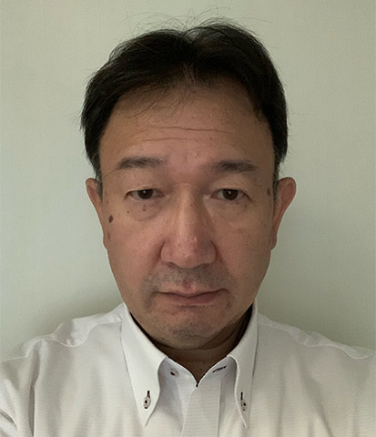
Hirokazu Muraki
Kokusai Kogyo Co.
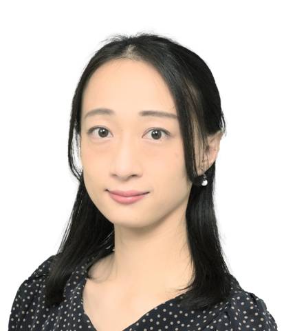
Chen Zhao
Geosurf Corporation

Seiichi Takyama
Takayama Drone Research
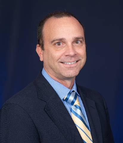
Joseph Cerreta
Embry-Riddle Aeronautical University

Seishiro Taki
Forestry and Forest Product Research Institute

Emanuele Traversari
Drone To Business

Trent Casi
Wingtra
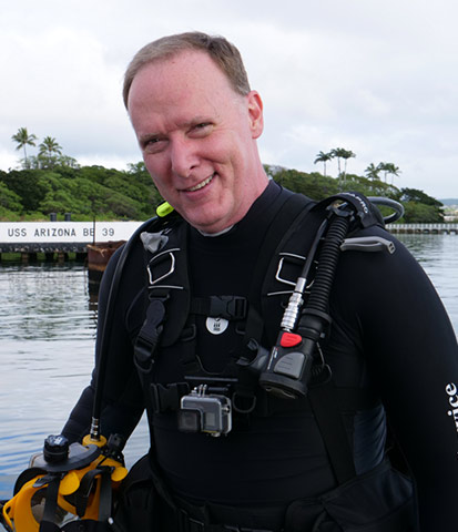
Pete Kelsey
VCTO Labs

Pierangelo Rothenbuhler
Pix4D

Luis Garcia
Pix4D

Amritha Narayanan
Pix4D

Daniel Rico Cordero
Pix4D

Julius Petri
Pix4D
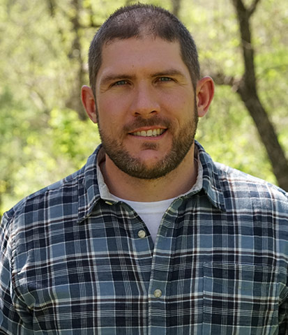
Nathan Stein
Pix4D

Sabrina Cardot
Pix4D

Nate Moore
Pix4D
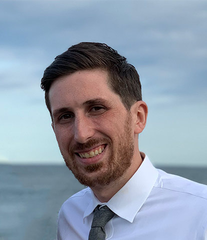
Ryan Sweeney
Pix4D


