Celebrating 15 years of PIX4D
The spark of innovation
PIX4D began in 2011 as a spin-off from EPFL, one of the world's leading technical universities. We started with a single product: Pix4UAV (photogrammetry + UAVs). At the time, the idea was revolutionary, to take the complex science of photogrammetry and make it work with drones so that anyone could create professional-grade maps out of simple images. We wanted to democratize the technology, moving it out of specialized labs and into the hands of the professionals who build our cities and manage our land.
Want to learn about how professionals work with PIX4D? Sign up for our monthly newsletter
Continuously pushing boundaries
Our roots in academia mean that research and development are in our DNA. While we first became known for the processing power of our desktop software, our roadmap was always aimed at a broader mission. By launching PIX4Dcatch, we turned the smartphone into a professional tool, allowing users to capture the world with the device already in their pocket. Along with PIX4Dcloud we now had a complete ecosystem from capture, to desktop, to cloud. Our drive led us to expand across the globe—from Lausanne to Madrid, Berlin, Denver, and Tokyo—as we moved from the sky to the ground.
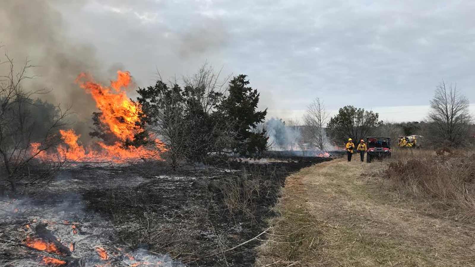
Not long after we presented a well-received research paper at the ISPRS, demonstrating that PIX4Dcatch could achieve professional-grade accuracy in GPS-denied environments.
Chronicling history: the projects that defined us
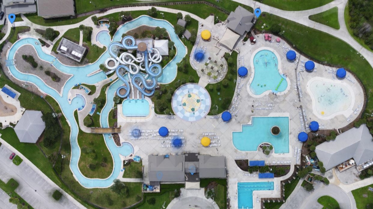
Our most ambitious projects have always served as proofs of concept for what is possible. Mapping the Matterhorn and the Great Pyramid of Giza weren't just technical feats; they proved our software could handle the most extreme environments and complex structures on Earth. This work evolved into a commitment to history, using our tools to digitally preserve landmarks like Chillon Castle and Christ the Redeemer, and eventually scaling up to monitor the health of the Amazon Rainforest.
15 years of PIX4D: Where are we today?
Today, our core trinity of products have matured into a seamless ecosystem, a workflow from capture to cloud. We’ve integrated Gaussian splatting to give our users high-fidelity, life-like 3D visualizations that make data easier to interpret and share and improve other outputs such as orthomosaic and 3D mesh.
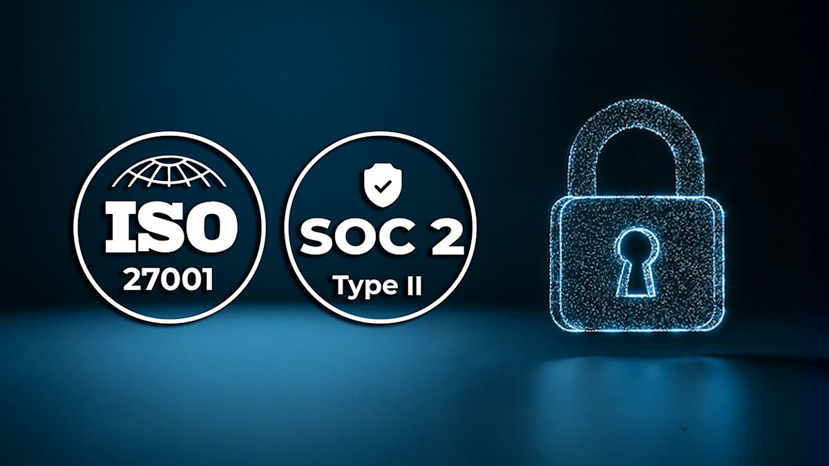
Whether it’s helping engineers build a city's first metro line, enabling scientists to track rising sea levels, or helping farmers manage crops more efficiently with PIX4Dfields, our focus remains the same. We continue to refine our brand and our tools to ensure that reality capture is accessible to everyone, backed by the security of ISO 27001 and SOC2 standards.
PIX4D's brand identity
To reflect this technological maturity, we have been refining our brand identity and product portfolio. Our updated visual assets across social media and digital platforms are designed to mirror our evolving mission: to improve the quality of living through secure, actionable data.
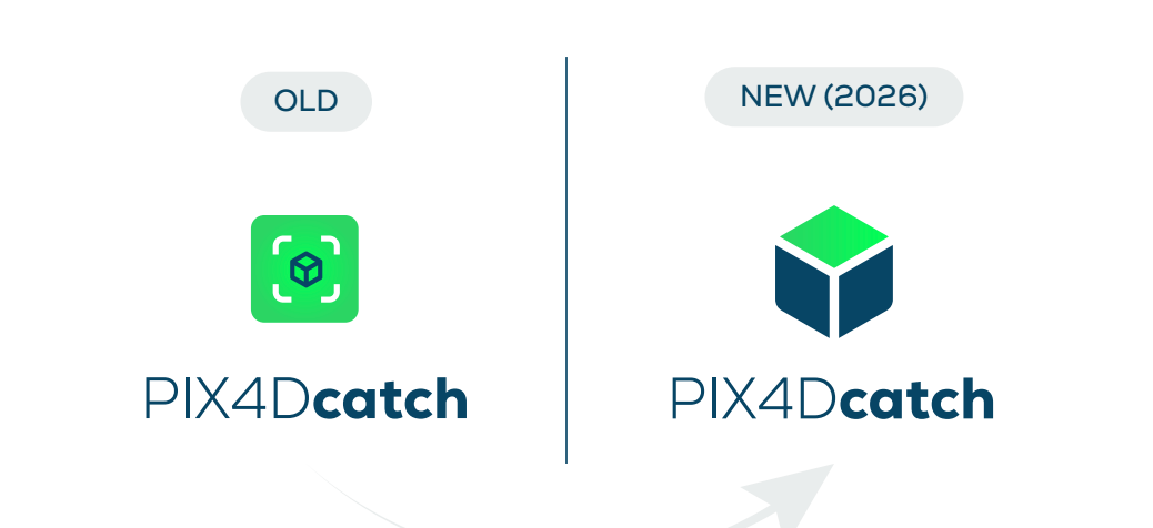
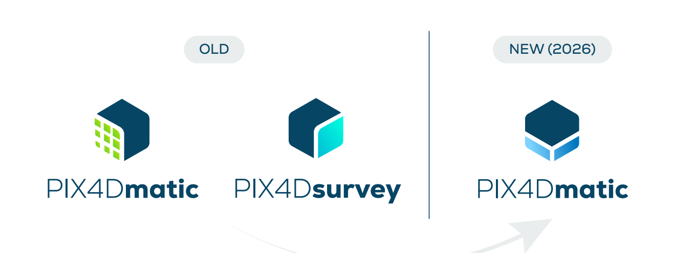
By streamlining our brand image alongside our software, we ensure that our visual identity remains modern, precise, and reliable. This evolution is not just aesthetics, but rather ensures our branding reflects who we are: a team dedicated to making reality capture accessible, maintaining uncompromising accuracy, and ultimately improving lives through the power of data.