

PIX4Dengine SDK
Build the future of digitized reality with our fully customizable photogrammetry reconstruction engine
What is PIX4Dengine SDK?
The PIX4Dengine SDK is a set of programming modules accessible via the Python Software Development Kit (SDK) for extracting critical information from images, running image transformations on your infrastructure or in our cloud, and it is compatible with other Pix4D solutions.
Our SDK design is built to empower photogrammetry workflow customization, automation and integration into enterprise systems.

Unlock the power of photogrammetry
The PIX4Dengine SDK opens access to Pix4D’s processing algorithms, ready for integration within your platforms.
Discover how PIX4Dengine SDK empowers large companies
Drone technology for golf course management
TerraView Solutions, with PIX4Dengine at the core of their photogrammetry pipeline, are leveraging drone technology to provide comprehensive golf course management services.
Read more >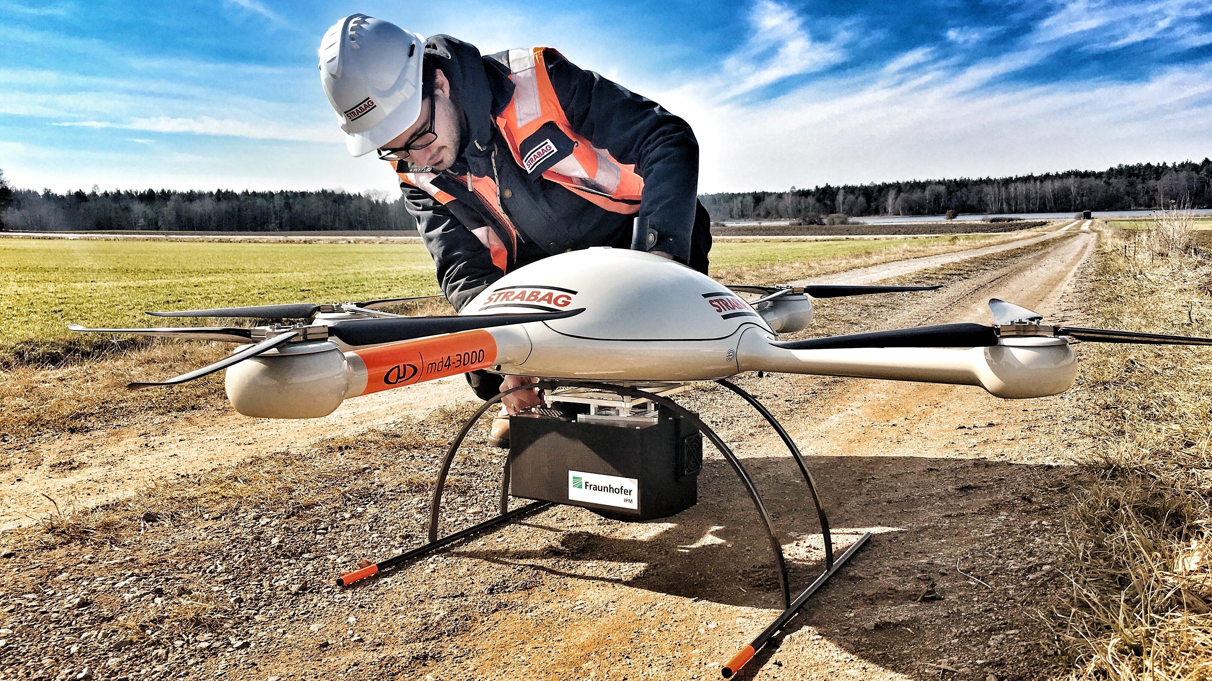
Drone mapping for every type of construction project
Every construction site is different and brings different challenges. Drone mapping helps planning, monitoring and documentation.
Read more >
Made for enterprise, trusted by developers
Solutions tailored to your needs
PIX4Dengine SDK
Automate and customize end-to-end workflows using our software development kits to improve operations and cost savings.
- Advanced level of automation
- Process on own infrastructure
- New machine learning modules
- Custom 3rd party integrations
- Ideal for large scale operations
- High processing speeds
Feature list