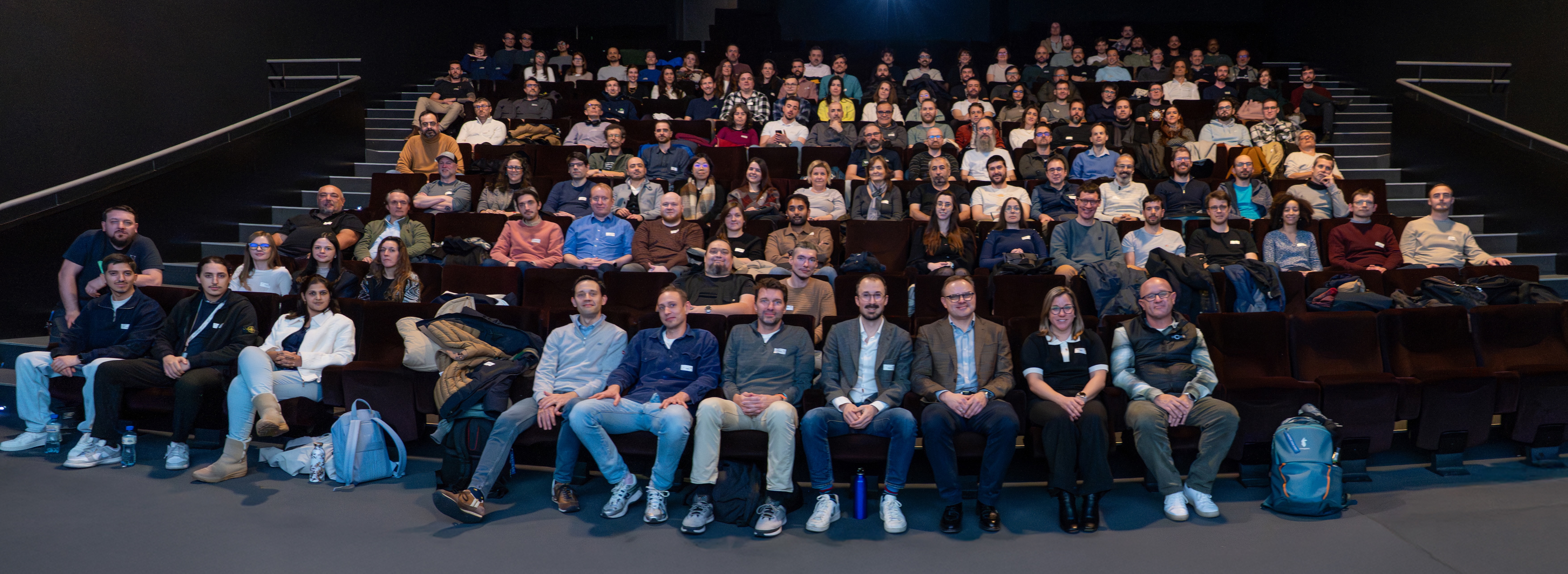
Celebrating 15 years of PIX4D
The spark of innovation
PIX4D began in 2011 as a spin-off from EPFL, one of the world's leading technical universities. We started with a single product: Pix4UAV (photogrammetry + UAVs). At the time, the idea was revolutionary, to take the science of photogrammetry and combine it with drones to create professional-grade maps out of simple images.
We wanted to democratize the technology, moving it out of specialized labs and into the hands of professionals and people who wish to extract the meaningful information these maps provide.
Want to learn about how professionals work with PIX4D? Sign up for our monthly newsletter
Continuously pushing boundaries
Our roots in academia mean that we are grounded in rigorous research and development, with a highly qualified team of experts. While we first became known for the processing power of our desktop software, our roadmap was always aimed at a broader mission. By launching PIX4Dcatch, we turned the smartphone into a professional tool. We now had a complete ecosystem from capture to desktop to cloud. Our drive led us to expand across the globe—from Lausanne to Madrid, Berlin, Denver, and Tokyo.
Not long after we presented a well-received research paper at the ISPRS, demonstrating that PIX4Dcatch could achieve professional-grade accuracy in GPS-denied environments. Our ongoing commmittment to research proving our ongoing commitment to pushing the boundaries of what is possible for reality capture!
Expanding our offering with precision agriculture
This same commitment to targeted innovation shaped our journey in digital agriculture. While we had already been operating in the agricultural space, 2018 marked a major evolution with the launch of PIX4Dfields, our dedicated agriculture software, built specifically to bring real-time, offline processing directly to the field. By creating a specialized tool that eliminated the need for an internet connection or cloud reliance, we focused on solving actual field constraints, which has allowed the platform to scale to thousands of active users globally!
Chronicling history: the projects that defined us
Our most ambitious projects have always served as proofs of concept for what is possible. Mapping the Matterhorn and the Great Pyramid of Giza proved our software could handle the most extreme environments and complex structures on Earth. This work evolved into a commitment to history, using our tools to digitally preserve landmarks while being highly accommplished techinical feats, like Chillon Castle and Christ the Redeemer, and eventually scaling up to monitor the health of the Amazon Rainforest.
As our core software evolved, the technical capabilities of our processing engine have come a long way, especially regarding user workflows and tasks that required tedious manual labour. “Manual Tie Points used to be mandatory for a good reconstruction", recalls long-time PIX4D employee Florian Muehlschlegel. "Today, thanks to smarter algorithms, superior results are automated, making Manual Tie Points the exception."
15 years of PIX4D: Where are we today?
Today, our core trinity of products have matured into a seamless ecosystem, a workflow from capture to cloud. In just one year, we integrated Gaussian splatting across our platforms—a rapid deployment that shows our commitment to innovation while directly improving standard outputs like orthomosaics and 3D meshes with high-fidelity visualization.
Whether it’s helping engineers build a city's first metro line, enabling scientists to track rising sea levels, or helping farmers manage crops more efficiently with PIX4Dfields, our focus remains the same: mapping the critical infrastructure, service, and supply systems that sustain our economy and daily lives.
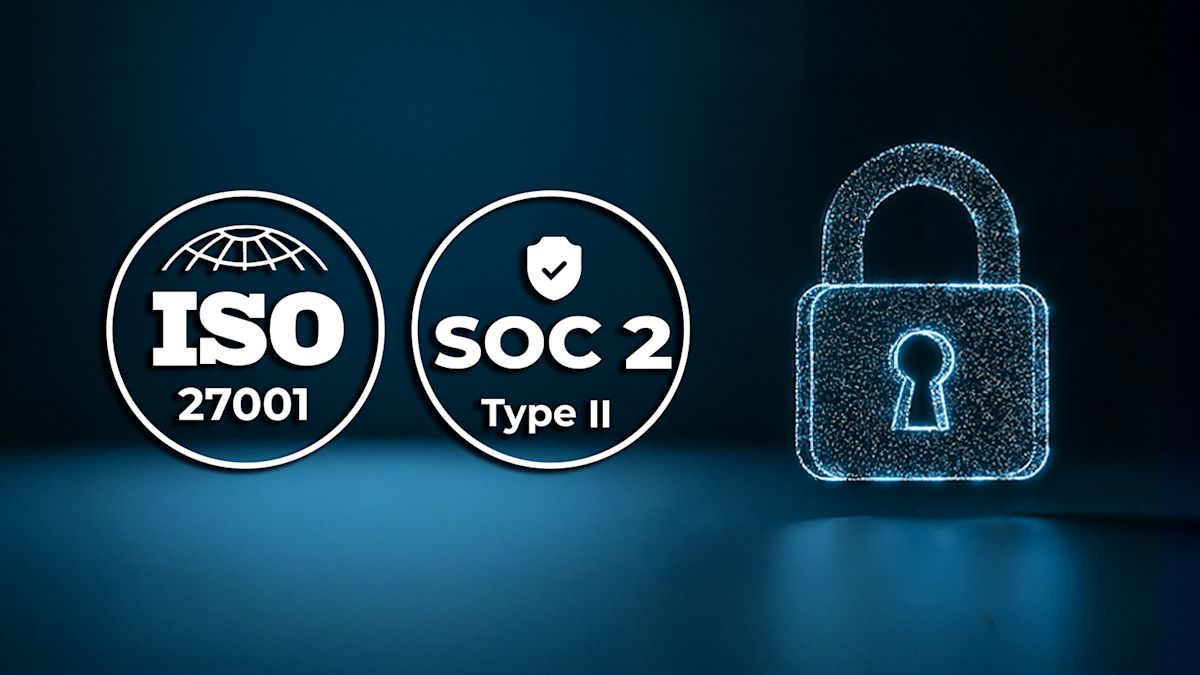
This past year alone both ISO 27001 certificatiom and SOC 2 Type II compliance to ensure that as reality capture becomes more accessible, it remains entirely secure.
PIX4D's brand identity
As PIX4D continues to evolve, so does our brand. Over the past year, we have redefined our brand guidelines to better reflect the maturity of our industry, the evolution of design standards, and, most importantly, the needs of our users. This renewed approach places greater emphasis on the people we serve and the solutions we deliver, ensuring that every aspect of our communication is clear, relevant, and purposeful.
A key part of this evolution has been the creation of a cohesive product ecosystem. By establishing greater consistency across our portfolio, we have strengthened the connection between our products while making it easier for customers to navigate and recognize the value of each solution. From visual identity to product experience, every touchpoint now works together as part of a unified PIX4D ecosystem.
“Fifteen years ago, PIX4D was born out of a passion for academic innovation, and this past year marked a critical pivot for us. By integrating innovative techniques like Gaussian splatting and securing gold-standard ISO and SOC2 protections, we have matured from a powerful processing engine into a trusted, secure ecosystem. Looking forward, the future of PIX4D is about making complex geospatial data accessible, completely secure, and actionable so professionals can make better real-world decisions." - Andrey Kleymenov, CEO of PIX4D
This evolution is more than a design update—it is a reflection of who we are today: a company committed to making reality capture technology accessible, reliable, and impactful. As we look ahead, our brand will continue to support our mission of helping professionals transform reality into actionable data that improves the quality of life around the world.