Mapping megaliths in 3D: digital tools for archeology
Megalithic architecture refers to ancient structures built using large stones, often assembled without mortar. These monuments are some of the earliest examples of human engineering and community organization, helping researchers piece together how ancient communities lived, worked, and interacted with their environment. As highlighted by ResearchGate,"Photogrammetry as a New Scientific Tool in Archaeology," advanced technologies like 3D modeling and photogrammetry are making it easier to document and analyze these structures.
The megaliths of Akkar (MEG-A)
At the University of Geneva, researchers and students from the Laboratory of Prehistoric Archaeology and Anthropology are investigating megaliths in Northern Lebanon. The sites are located in the village of Menjez in Lebanon’s Akkar region, where a remarkable funerary complex of 45 tombs, dating from the 5th to 3rd millennia BC, provides valuable insight into the practices of prehistoric societies.
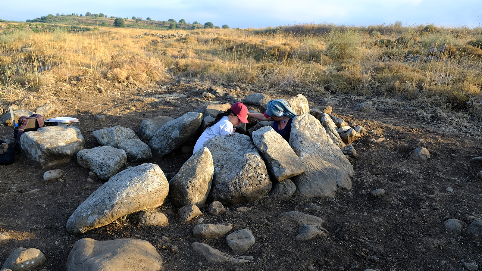
The MEG-A project (Megaliths of Akkar) is headed by Dr. Tara Steimer, from the University of Geneva, and Dr. Zuzanna Wygnańska, from the Polish Academy of Sciences. In 2024, the Swiss team extended their research to northern Jordan, near Irbid, where they launched the Dolmens Project along with a student training camp. Both initiatives aim to study megalithic architecture by capturing each structure as a unique 3D model in high resolution. To date, 45 monuments in Lebanon and 30 in Jordan have been recorded.
Improving archeological fieldwork with digital survey tools
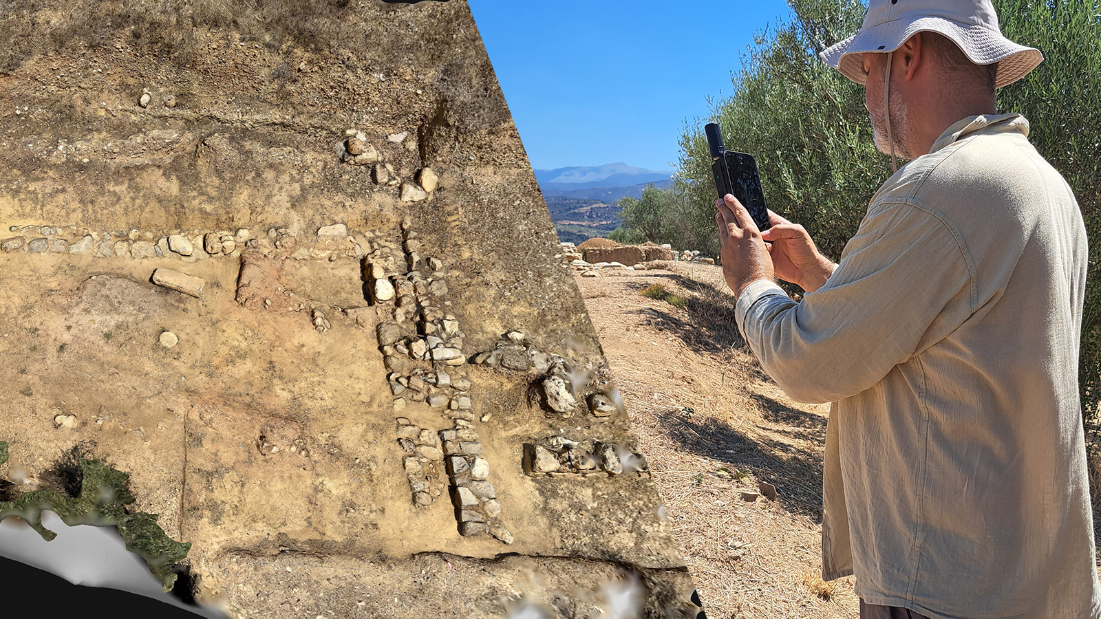
Accurately documenting archeological sites in remote or rugged landscapes is a complex task. While traditional survey methods using cameras, booms, and drones have proven effective, they can be difficult to deploy in challenging terrain like the basalt fields of Akkar. Transporting heavy equipment over uneven ground is often impractical, especially when time is limited and multiple sites need to be documented.
To overcome these challenges, the team tested a lightweight, smartphone-based workflow using the PIX4Dcatch app. After each excavation, they walked around the site with an iPhone. This approach saved valuable time. Real-time visual feedback during capture helped confirm full site coverage before they left.
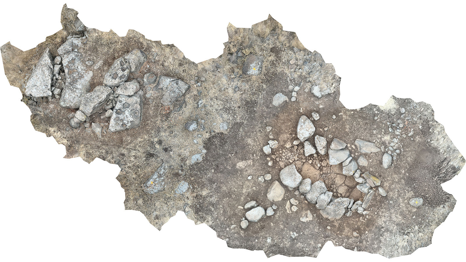
In the end, smartphone scanning made it possible to document more monuments, faster, and with less risk—an invaluable asset for both research and education in the field. The team could generate a precise 3D model of the structure to rework in Geneva—cut it, make sections, profiles, cross-sections, and drawings of the monuments.
Digital tools for cultural heritage preservation
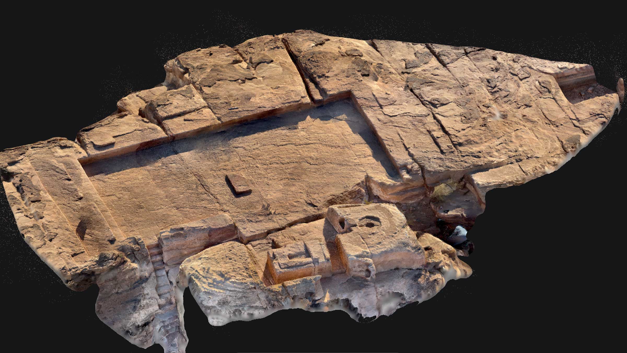
By combining 3D modeling and careful excavation, the archeologists created a detailed database to map each megalithic tomb in Menjez accurately. Using PIX4Dcatch, they captured 1,724 images in just 30 minutes of fieldwork, followed by 43 minutes of processing and a straightforward file export. Their analysis has already identified three distinct types of structures among the tombs, offering new insights into the techniques and practices of the ancient builders.
The above video by SciencEscape features the MEG-A project uncovering the ancient megalithic tombs of Menjez, Lebanon. You can see how PIX4Dcatch was used to document the tombs just after the 11-minute mark!
The broader goals of the project go beyond scientific discovery — they also focus on promoting cultural heritage and supporting socio-economic development in the village. Accessible digital tools played a key role in documenting the site, and thanks to the project’s success, the Menjez megaliths are now part of the Council of Europe’s Megalithic Route, helping to drive visibility and growth for the local community.