Generating GIS-compliant utility maps with PIX4Dcatch
Accurate mapping of underground infrastructure is essential for safe construction, efficient maintenance, and long-term planning. Yet many organizations still rely on outdated or incomplete records — especially for buried utilities like irrigation lines, water pipes, and cables.
To address this, more institutions are turning to GIS (Geographic Information Systems) to manage spatial information in a standardized, centralized way, which means simply collecting geospatial data isn't enough — it needs to be GIS-compliant.
Why GIS compliance matters in utility mapping
GIS-compliant data is georeferenced, accurate, and formatted to integrate directly into a GIS platform. It includes both spatial coordinates and descriptive metadata, and it meets quality standards for precision, structure, and compatibility. For teams responsible for infrastructure, this means:
- Knowing exactly where subsurface assets are located
- Reducing the risk of utility strikes or misinformed decisions
- Improving data sharing across departments or contractors
- Meeting legal or institutional standards for asset documentation
Achieving GIS compliance typically required survey-grade tools, time-consuming workflows, or specialized skills. But with advances in mobile mapping and RTK positioning, it’s now possible to capture compliant data with a simple, handheld setup — including a smartphone.
In this use case, Pepperdine University’s Planning, Operations, and Construction department set out to explore a more efficient, accessible way to create GIS-compliant records of newly installed underground utilities. Using PIX4Dcatch with a mobile RTK receiver, they tested a streamlined workflow that delivered accurate, mapped utility data — all with standard hardware and a faster turnaround.
We spoke with Gabriel Armas, the Asset Systems Development Manager of the department. His work focuses on improving how asset records are stored and maintained, as well as developing better systems for managing the university’s asset base. Gabriel helps to ensure campus infrastructure is accurately documented and efficiently managed.
A smarter way to locate underground utilities
Facility teams often rely on as-built plans to locate underground utilities. However, these documents can sometimes be incomplete or lack the detail needed to accurately pinpoint them. To explore a better solution, Gabriel collaborated with the irrigation team to test a new approach: using PIX4Dcatch with an RTK device on a small-scale irrigation project involving water pipe installation.


The goal was to develop a reliable, tech-enabled method to track, audit, locate, document, and measure critical underground utilities during maintenance, repairs, and new construction. By leveraging the global GNSS reference frame, Gabriel set out to demonstrate that even a compact setup—a smartphone paired with PIX4Dcatch and RTK—could significantly reduce uncertainty and improve utility documentation in the field.
A streamlined workflow for underground utility mapping
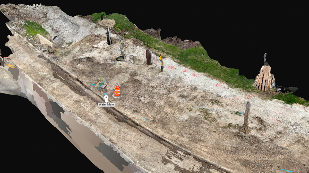
The challenge we set out to address was a common one: undocumented or poorly documented underground utilities. To solve this, we used the PIX4Dcatch app on a smartphone equipped with LiDAR and RTK-enabled GNSS to collect accurate geospatial data. The captured imagery was processed using PIX4Dmatic and PIX4Dsurvey, and the resulting outputs were imported into a Geographic Information System (GIS) using the open-source platform QGIS.

The entire process—from data collection to field verification—took approximately 6 hours, including an additional hour to produce a final printed map. This streamlined workflow proved how accessible and efficient utility mapping can be with the right tools.
Creating GIS-compliant utility maps with PIX4Dcatch
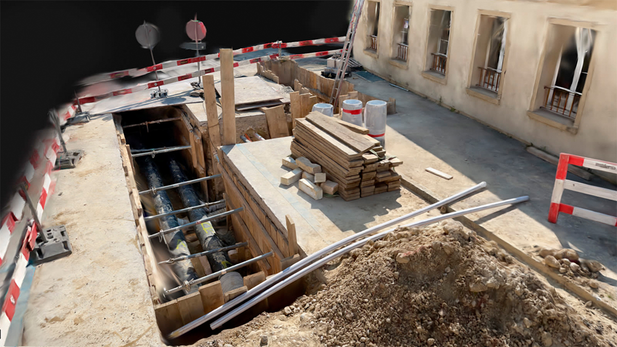
The project demonstrated how easily 2D and 3D data can be collected for subsurface utility installations, creating a reliable utility map for future reference. The goal was to test the ability to map a newly installed utility, and the team succeeded—producing a GIS-compliant dataset suitable for long-term use. In California, for example, GIS shapefiles are required for new or discovered utilities, and this method ensures that contractors, surveyors, or engineers remain compliant with local standards.

One of the most compelling advantages of this approach is the use of common, accessible hardware—a smartphone! Paired with RTK technology, this method proved to be an easy-to-use, highly effective solution for surveying and documenting underground infrastructure.
“PIX4Dcatch with an RTK device is an easy way to collect utility installations. I liked the ease of use and fast processing. From collecting to printing out a map, this effort transforms how to collect utility installations for construction or facility operations. PIX4Dcatch leverages the global utility, which is the GPS/GNSS reference frame, to map vital utility information once collected and mapped with analogue hand tools." - Gabriel Armas, Asset Systems Development Manager, Planning, Operations, and Construction, Pepperdine University


