Mapping one of the last equatorial glaciers
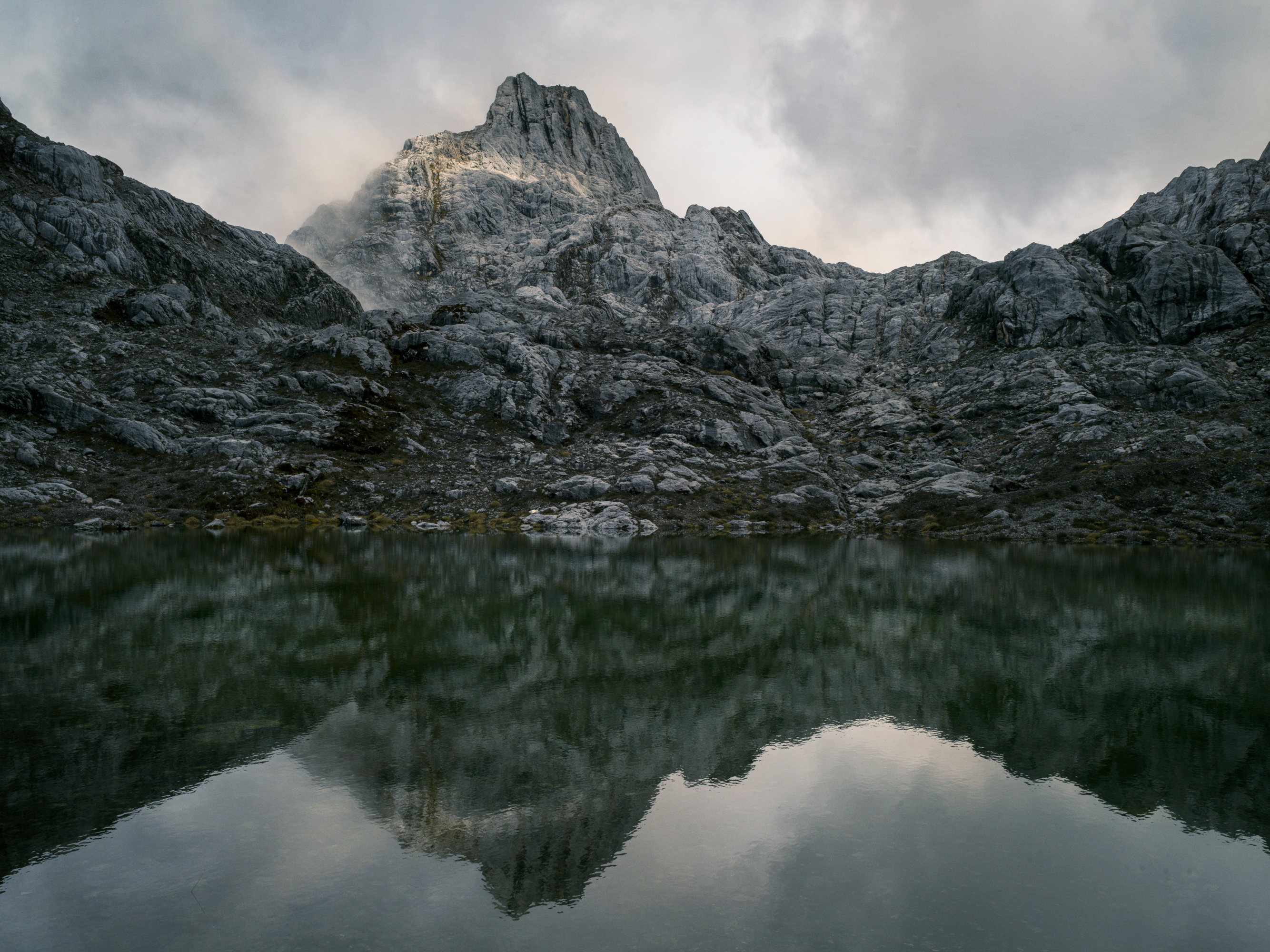
Puncak Jaya in Papua, Indonesia, is the tallest peak in Oceania and one of the last equatorial mountains with glaciers. Part of the 7 Summits, it is home to what locals call Salju Abadil, the Eternity Glaciers, but the ice has retreated drastically due to climate change.
Recently, Project Pressure, a charity dedicated to climate and environment, mounted an expedition to the mountain with the goal to create the first-ever 3D photogrammetry model of the remaining ice before it disappears. The expedition was led by explorer and scientist Klaus Thymann.
The ascent up Puncak Jaya begins
The journey began in Papua’s coastal city of Timika, the gateway to the mountain. Logistics were a challenge due to frequent rain.
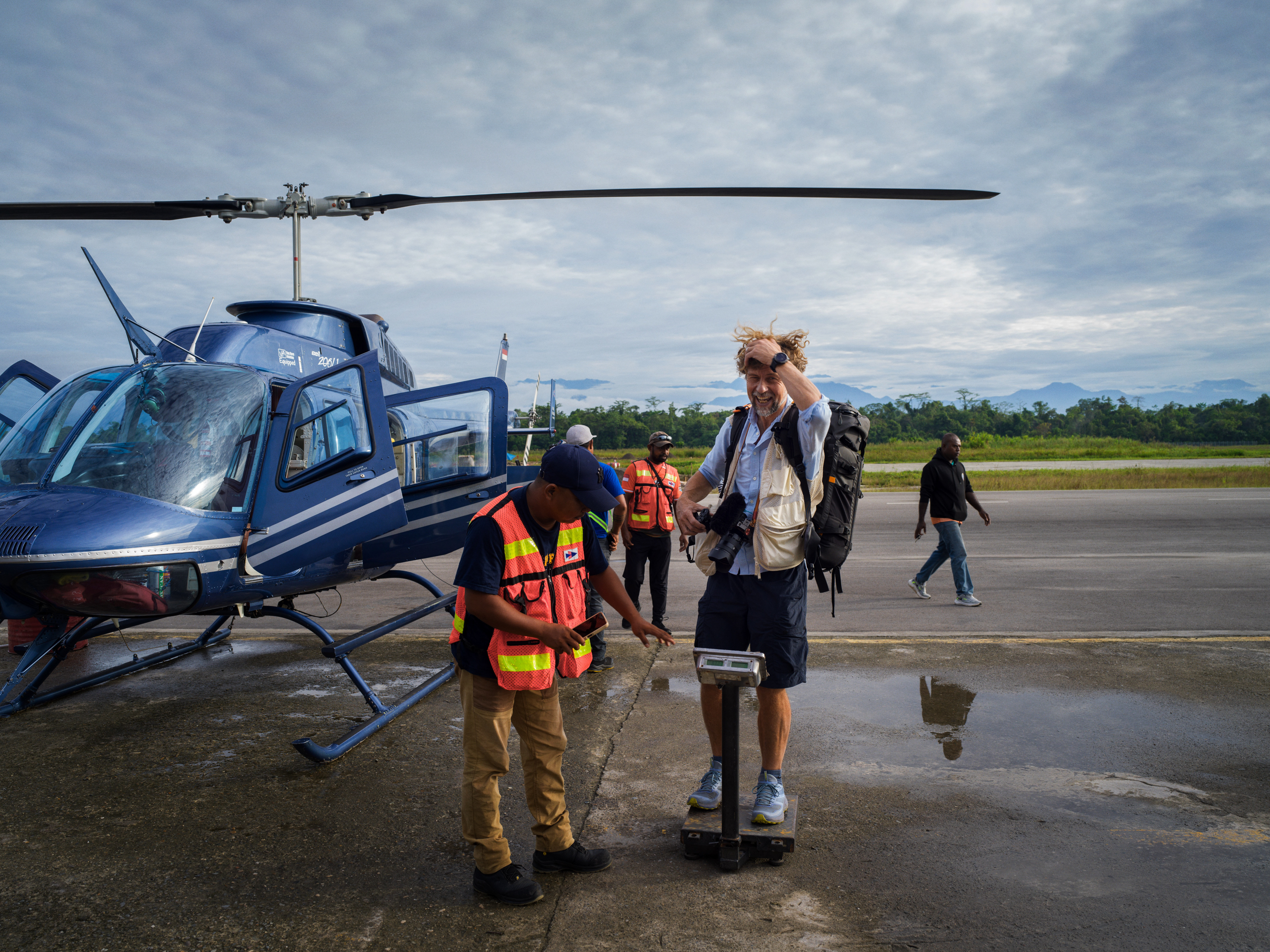
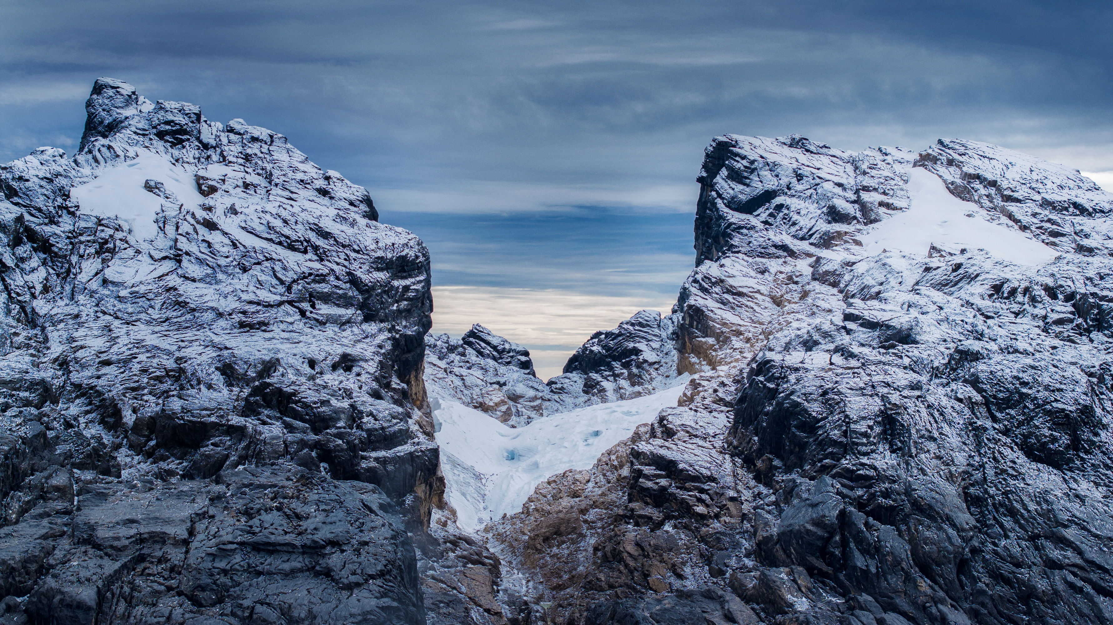
While adventurers used to be able to trek up the mountain, trekking access was halted several years ago due to heightened security surrounding the region’s mining operations. Because of the security, the only way to access Puncak Jaya is by helicopter, but it can only fly if conditions are clear. Operations stop at 10:00 AM as clouds build up.
A rare clear morning allowed for takeoff, flying over rivers and rainforest. The helicopter navigated at high altitude with mountains on all sides, lifting the team from sea level to over 4,000 meters.
The team arrived at basecamp in Puncak Jaya’s Yellow Valley. It was an unusually quick ascent - from sea level to 4,150m in about 25 minutes. Fortunately, Klaus’ mountain experience allowed his body to adapt despite the change.
Mapping glaciers with drones and photogrammetry
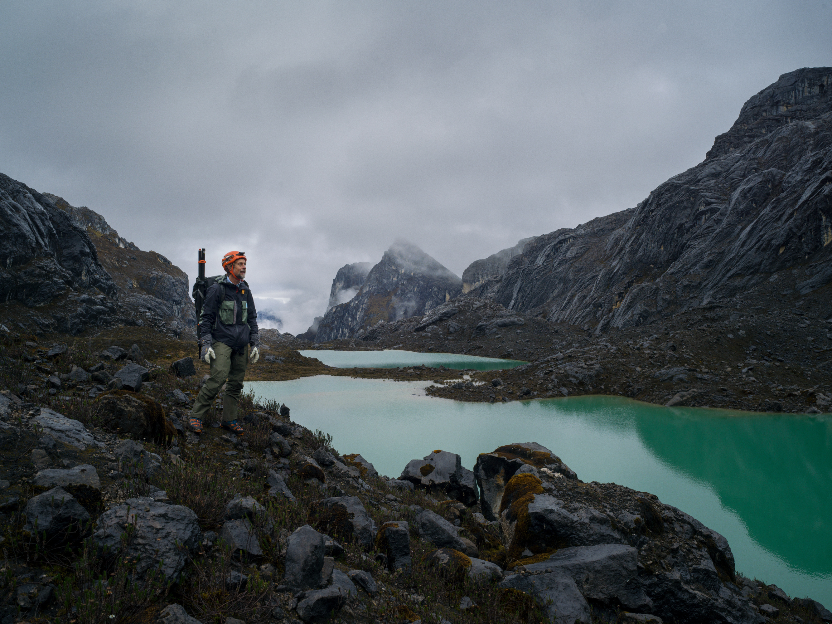
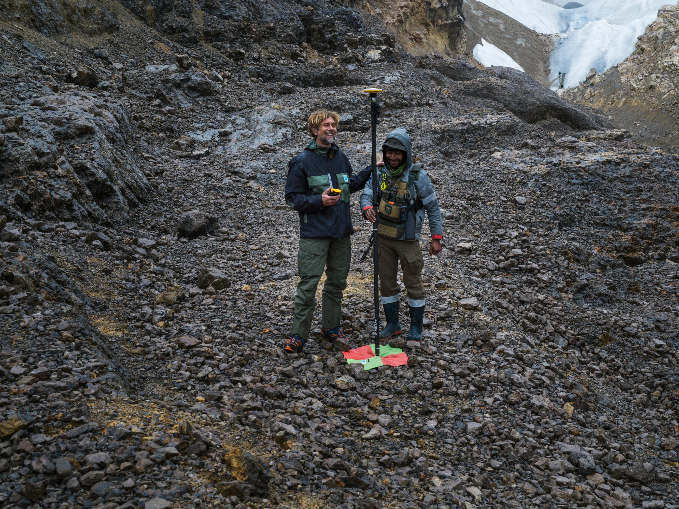
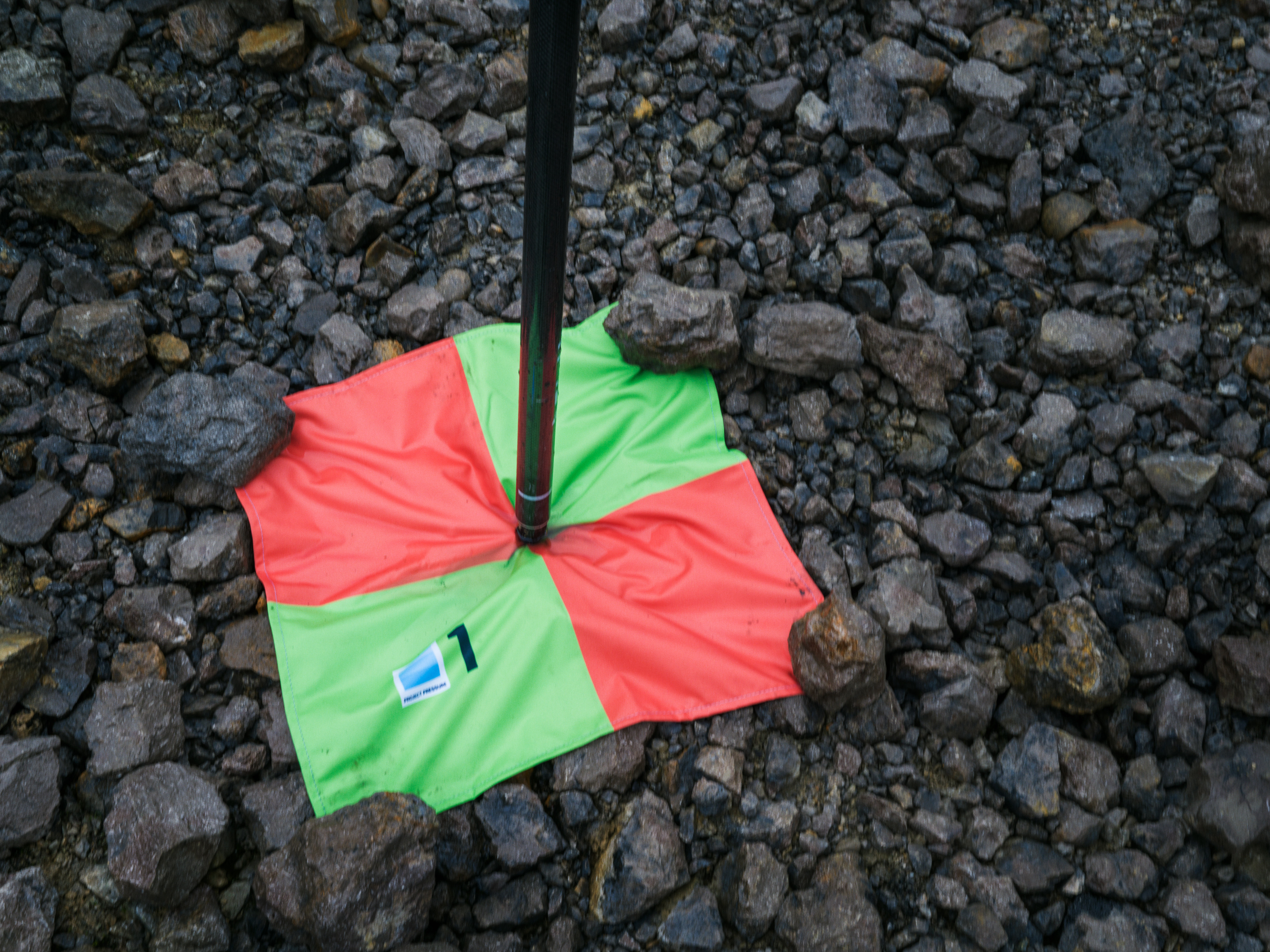
From the base camp, the team trekked for hours. Once they reached the survey point to conduct the UAV survey, Klaus placed colorful ground control targets and used the Trimble Catalyst GNSS positioning service, enabling the georeferencing of the 3D model. But clouds closed in, and the team had to move to base camp, unable to finish the survey.
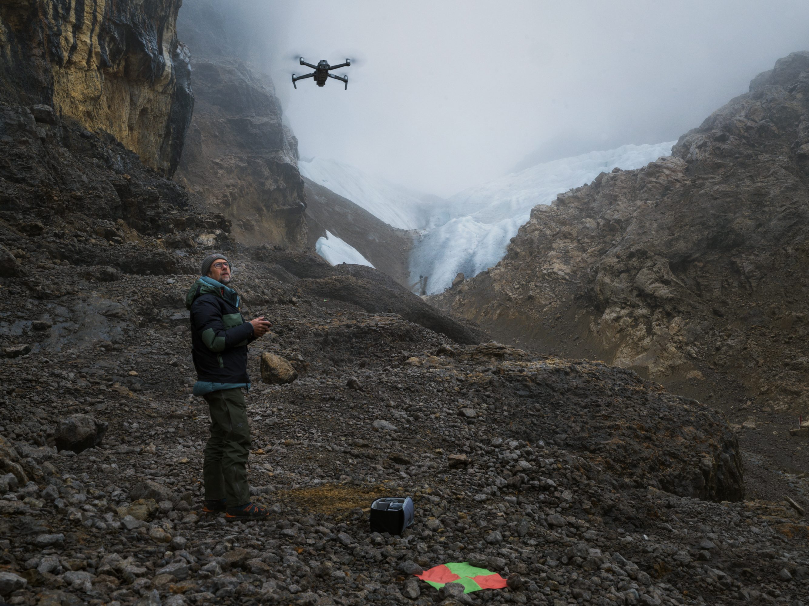
After waiting days for clear skies, when he saw stars, he left base camp before dawn to fly the UAV survey with the first light.
High-altitude drone surveying
The team flew two drones: a primary unit for the main survey and a second to fly very close between the rocks to try to capture the glacier. .
The mission was not without its hurdles; a temporary loss of radio link triggered an automatic return-to-home sequence, highlighting the technical risks of high-altitude operations. Careful problem-solving in the field ensured that the survey was fully executed. The team generated thousands of detailed georeferenced images for the 3D photogrammetry model.
The 3D Model
After the successful expedition, Klaus collaborated with PIX4D on creating the 3D photogrammetry model. Using the images from Project Pressure’s drone survey, the team at PIX4D got to work...
The data was processed in PIX4Dmatic, The PIX4Dmatic team supported data processing in order to generate the necessary quality 3D model. This model will serve as a digital model that has preserved the state of the vanishing glacier for both scientific study and future generations.
“When I’m collecting data in the field, I only see the mountain and glacier from a few view points. Seeing it come together in the 3D model, and then be able so view from any direction and virtually fly around as i like, is really incredible." - Klaus Thymann, Founder, Project Pressure