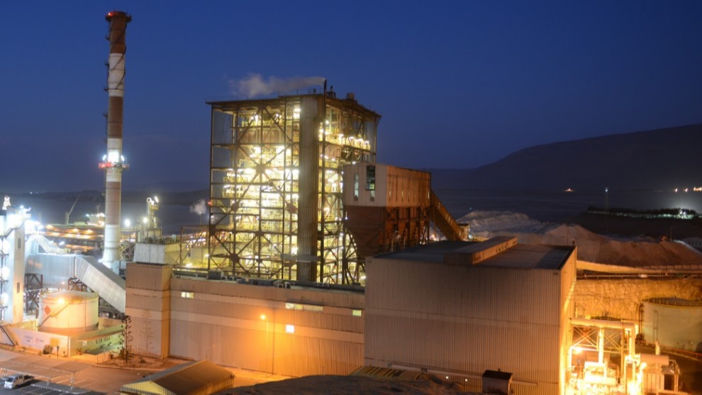
Digitizing a coal plant with drone mapping
Enel Generación Chile helps power Chile. Its network of over a hundred generators plug into the national grid, providing 35% of the country’s electricity.
Its challenge is to increase energy efficiency. As well as diversifying its power plants, Enel is incorporating new technologies in existing production processes.
Process Improvement Manager Danilo Godoy commented: “This mapping project is the first time the economic value of drones and 3D modeling has been demonstrated at Enel.”
Project details
| Location | Tarapacá power plant, Northern Chile |
| Company | Enel Generación Chile |
| Hardware | DJI Phantom 4 RTK drone |
| Software | Pix4Dbim 3D photogrammetry software |
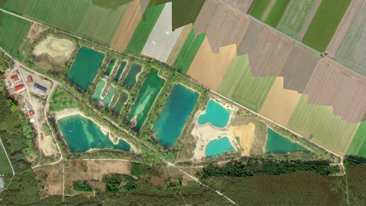
| Area covered | 6 hectares |
| Number of images | 307 |
| Processing time | 30 minutes |
| Project delivery time | 3 days |
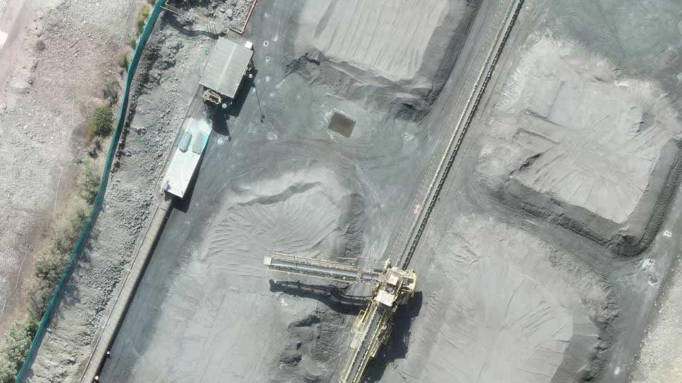
Digital stockpile mapping with drone modeling
The Tarapacá power plant in Northern Chile relies on coal to generate electricity for around 115,000 homes.
Stockpile mapping is an essential part of the workflow. Without knowing the exact volume of a stockpile, companies cannot accurately forecast their use, plan deliveries or report to their shareholders.
Traditionally, stockpile modeling is a manual process which involves climbing on the piles. This can be dangerous as the loose material can shift, and interrupts the plants workflow.
Drone mapping offers a solution.
Aerial photogrammetry is faster and safer than traditional methods. User tests have found drone imagery to be more accurate than laser scanning.
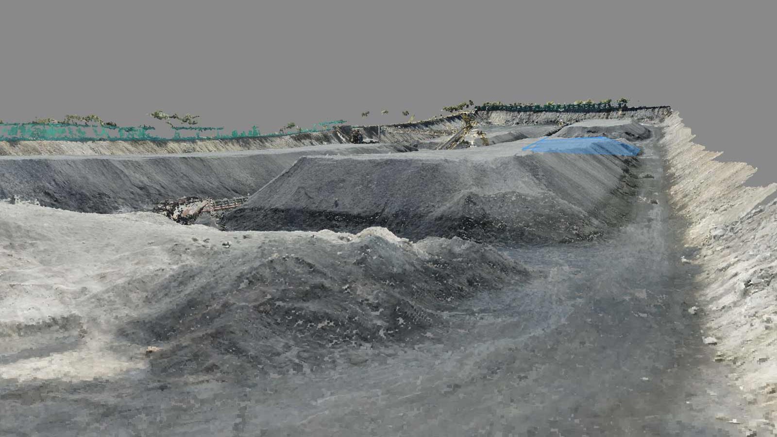
3D aerial mapping with RTK drones
In this pilot project, the key measure of success was accuracy.
To ensure the most accurate results, the team used two different methods.
First, they selected an RTK-enabled drone: the DJI Phantom 4 RTK drone uses Real Time Kinematic technology, geolocating each image. Pix4D users, and our own internal tests, have consistently found that RTK drones give very accurate results.
The team also placed ground control points (GCPs) and took their exact location with a precise geodetic tool. When used correctly, GCPs can increase the accuracy of a project.
The team decided that for the project to be a success, the maximum acceptable error of each point was 10 centimeters.
Processing the 160 images in Pix4Dbim took just 30 minutes. The results were as good, with a total max error of 116.71m³.
Taking off with Pix4D Certification
Before taking off, the team were already very experienced with drone mapping. The team included Pix4D certified drone pilots, and were supported by QTEC consultants, for optimization of flight planning and image processing.
When asked why Pix4D was the best drone mapping software for the job, Godoy commented: “We chose Pix4D because it’s easy to use and has Cloud services.”
“We found it very useful to visualize the 3D models in Pix4D Cloud and share them with our internal clients.”
Savings without sacrificing accuracy
Using Pix4Dbim’s volume calculation tool, the team automatically calculated the volume of each stockpile.
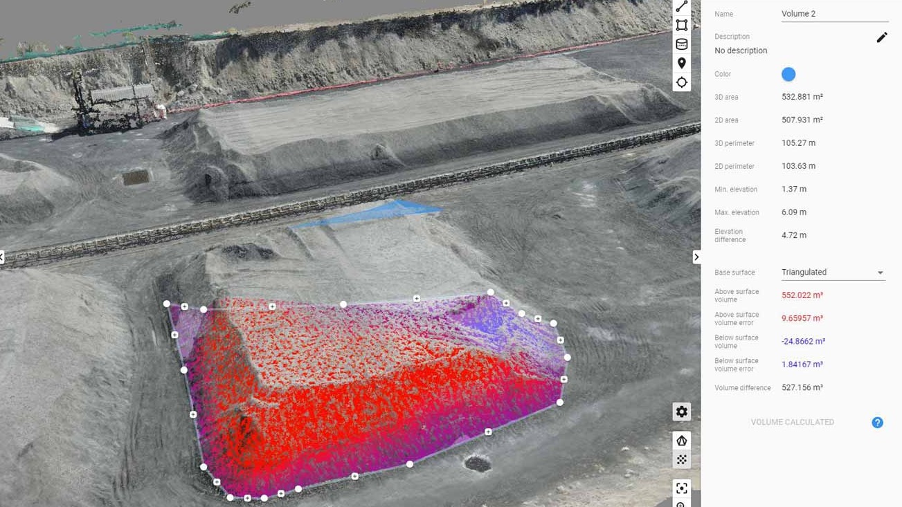
The tool allows uses to create 3D measurements from photos. Because it’s cloud-based, teams can work on the project anywhere in the world.
From flying to delivering results to project took just three days.
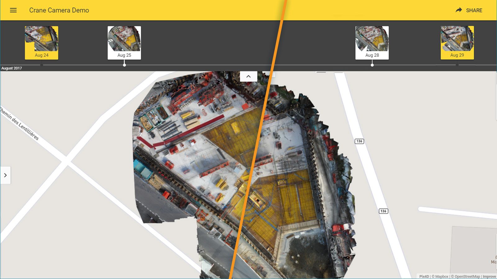
With the model uploaded to Pix4Dbim, the team will be able to use the timeline feature to instantly compare stockpile measurements.
Because aerial mapping is easier and faster than traditional survey methods, the team can measure the stockpiles more frequently than before.
Godoy added: “The project showed cost savings compared to traditional surveying methods. It also allowed us to obtain volume measurements more quickly and easily, while maintaining accuracy.”