Drones & Pix4D protect vital water resources in Costa Rica
The micro-catchment of the Ernesto River forms a water network essential for the region of Puerto Viejo in Costa Rica. These water networks are crucial for ecosystems and local communities, providing water for wildlife, vegetation, drinking, and agriculture.
The Ernesto River has recently been the focus of community conservation and restoration projects due to new construction and land use changes in the surrounding region. Of particular concern is a planned urban development project that could severely fragment the forest, which would affect the movement of animal species. Consequently, any urban development in this area must be planned with an integrated approach, prioritizing the conservation of forest cover and biological corridors.
Drone mapping for conservation
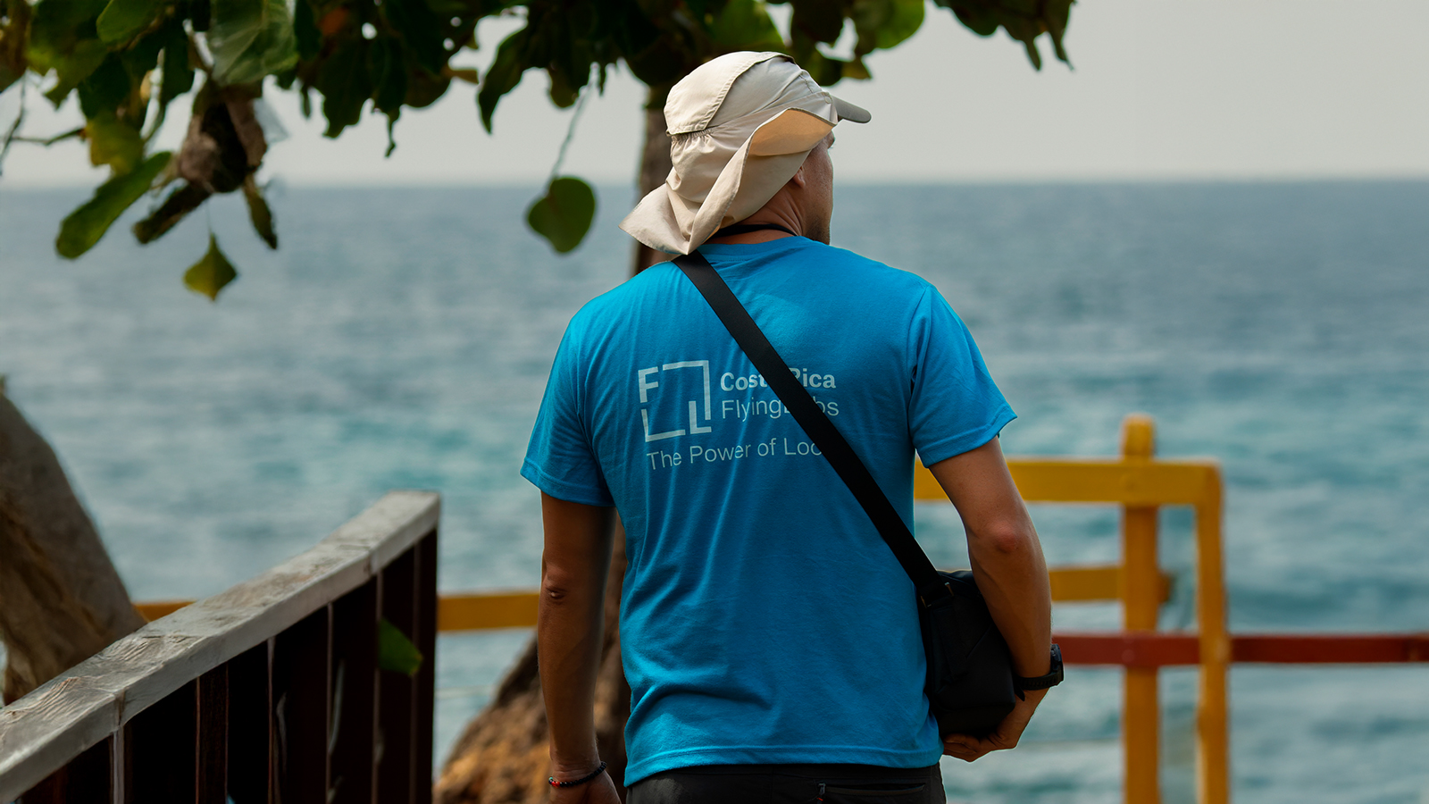
We spoke with Costa Rica Flying Labs, who, in collaboration with Guardianes del Bosque, are assisting local conservation by mapping the region. The project was initiated upon discovering that no up-to-date maps were available to analyze how the changes were affecting local water resources and to help guide urban development. This is where drones and Pix4D come in.
To address the challenges of the terrain, the team carefully planned their drone missions. The rivers in the area are very small and carry limited amounts of water, requiring them to fly at a low altitude to capture high-resolution images with a small ground sampling distance (GSD). Since most of the region is covered by dense forest, they also had to meticulously plan the drone's flight path and image overlap to ensure accurate and high-quality results.
Project details
| Location | Punta Uva, Costa Rica |
| User | Flying Labs Costa Rica |
| Project duration | 6 months |
| Area surveyed | 150 hectares |
| Software used | PIX4Dmatic |
| Hardware used | DJI Mavic 3 Multispectral, Workstation AMD7, RAM: 32GB, SSD 1TB and NVIDIA GPU |
| Images captured | Total images: 1069 |
| Number of images per flight or dataset | |
| Processing time | 3 hours per flight |
| GSD | 4cm |
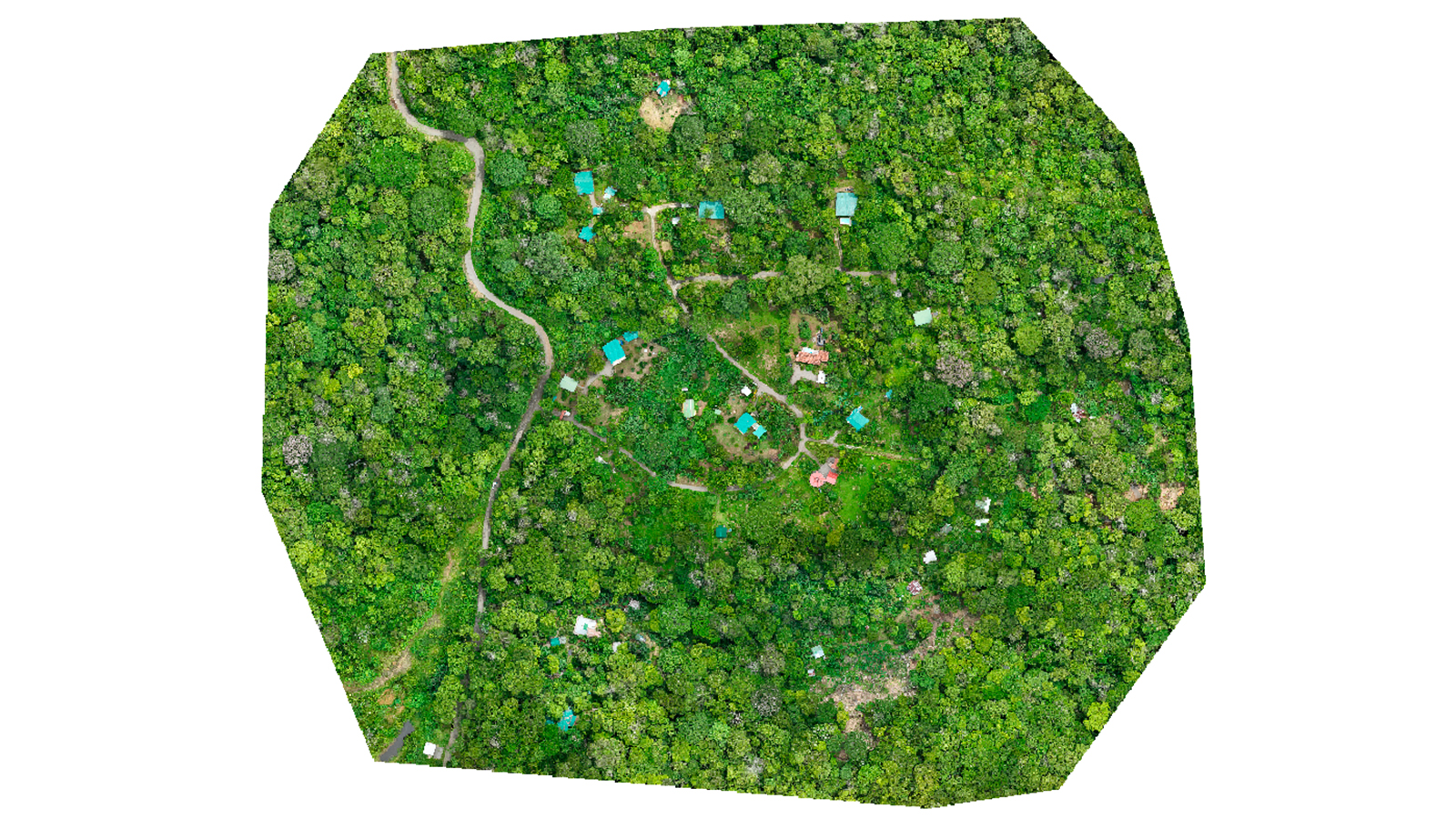
The high-resolution geospatial data supplied by Costa Rica Flying Labs proved invaluable. This data was processed in PIX4Dmatic, which generated detailed point clouds, DSMs, and orthomosaics with high spatial resolution and georeferenced accuracy. These maps filled a major information gap, enabling Guardianes del Bosque to better understand how deforestation, land use changes, and illegal construction were affecting the region’s water resources and biodiversity. Ultimately, the resulting insights allowed local stakeholders to make more informed decisions to protect the rainforest and aquatic ecosystems.
Balancing development with conservation
The project lasted 6 months and successfully achieved its objectives. The reconstructions were accurate, and while the team generated a point cloud for analysis of tree elevation, the primary output for this project was the orthomosaic. This high-resolution, visual representation was what the community needed to better understand the project and its findings.
A key challenge was to strike a balance between development and conservation, which requires comprehensive planning with input from all key stakeholders, integrating environmental, social, and economic criteria.
The project’s results were presented at an event held at the Cultural Hall of Puerto Viejo. The findings and progress were shared to encourage dialogue and community participation, which is key to mitigating these impacts and ensuring that ecosystems and water supply remain sustainable in the long term. This engagement highlighted the importance of biodiversity conservation, with local community members, authorities, and organizations all attending. The informative maps generated by PIX4Dmatic provided the information they needed to support their aim to protect vital ecosystems in Costa Rica!
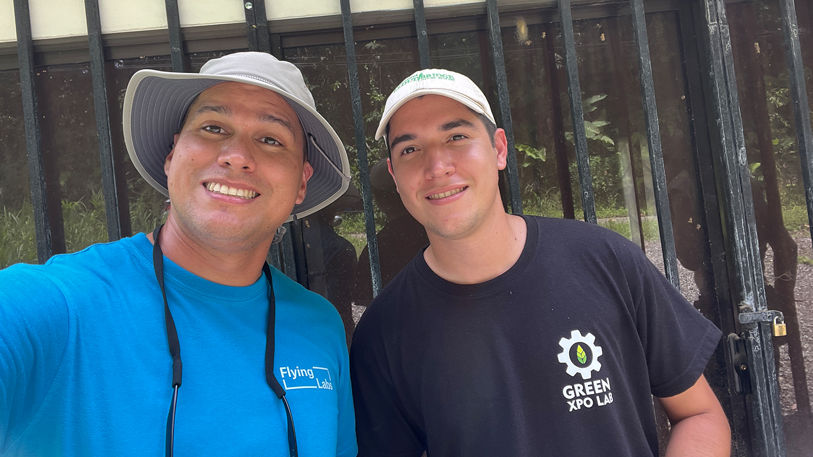
“We love working with Pix4D software because it consistently delivers accurate and reliable results. We trust it for all our processing needs and enjoy using its intuitive tools to support our environmental and mapping projects." - Carlos Saito, Costa Rica Flying Labs Coordinator & Hanzel Leon, Costa Rica Flying Labs Research Assistant