Drone-based mine surveying for stockpiles & dams
SCHEMA MARK UP
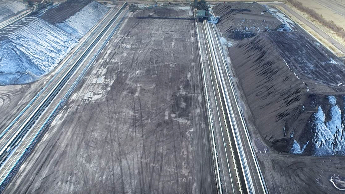
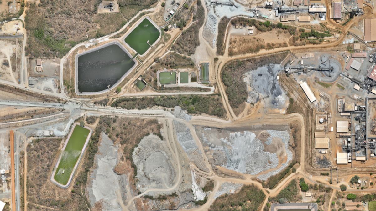
In large-scale underground mine surveying operations, site management relies on accurate, real-time spatial data. A critical challenge for mine engineers is monitoring material stockpiles to support ongoing civil infrastructure, particularly Tailings Storage Facilities (TSFs). These are engineered dams designed to safely contain the fine waste slurry left over from ore processing, which require precise volumes of waste rock for continuous embankment construction and dam raises.
Traditional ground survey methods over large, dynamic terrain like waste dumps can be time-consuming and hazardous. To overcome this challenge, the a mining site survey team conducted a drone-based survey, using PIX4Dmatic to generate the surface modelling and volumetric data required by TSF engineers in order to advance dam construction.
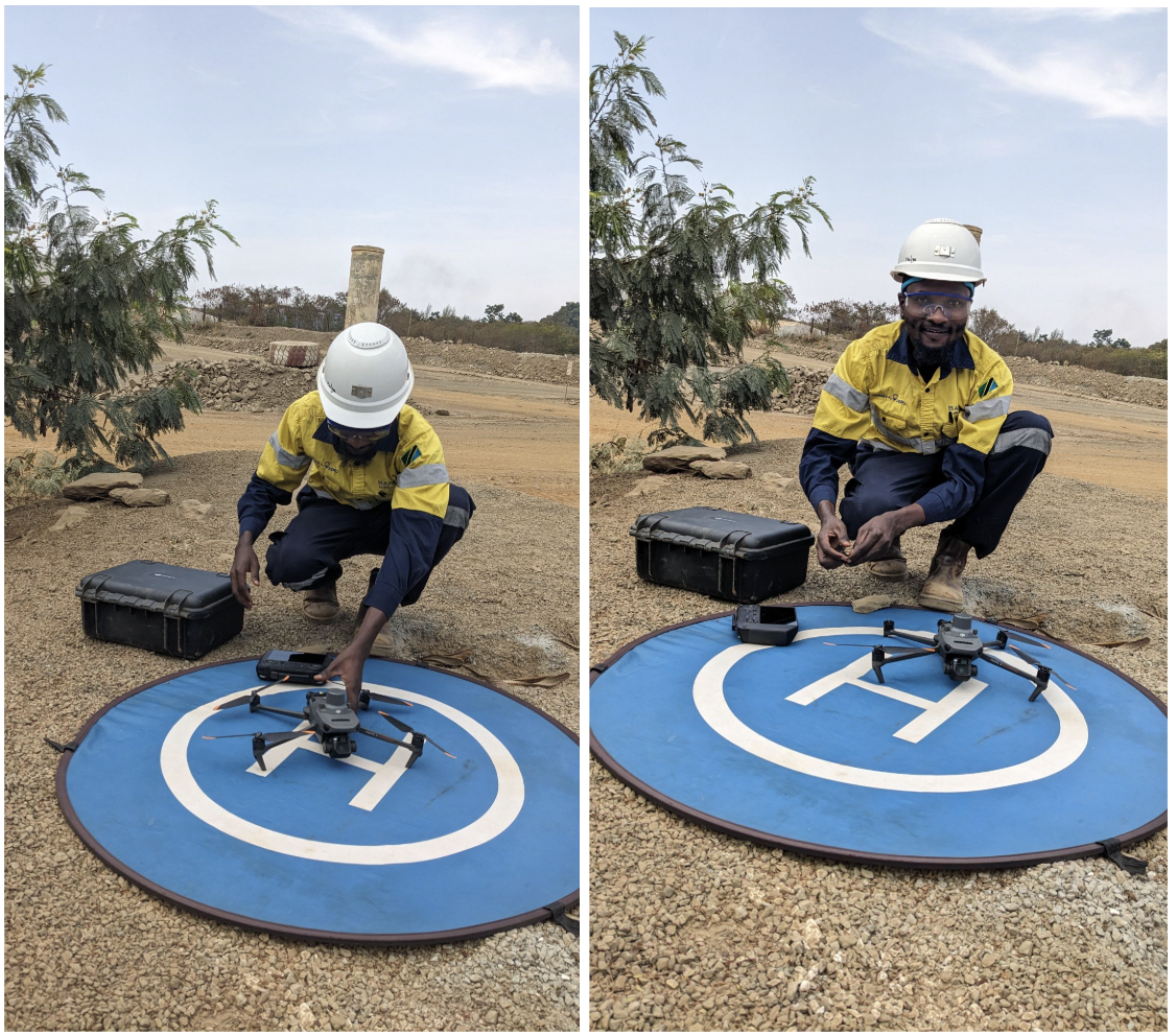
We interviewed Emmanuel Halison Mwampulule, a mine surveyor on site at Barrick's Bulyanhulu Gold Mine, a large gold, copper, and silver mine in Tanzania.
What is your role as a mine surveyor in mining operations?
Bulyanhulu Gold Mine is an underground gold mining operation in Tanzania, operated by Barrick. It is located in the Shinyanga region and is known for its underground mining operations.
As an underground mine surveyor, I play an important role in ensuring accurate development, production, ground control, and volume reconciliation. The survey team supports mining by providing accurate spatial information for development drives, stopes, infrastructure, and production monitoring.
Can you explain the drone based survey in more detail?
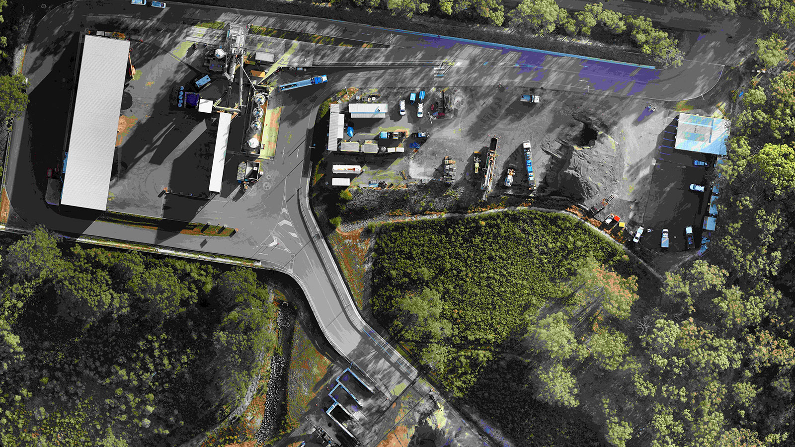
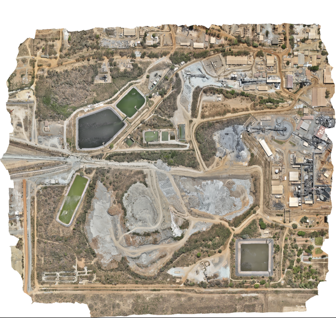
The project was a drone-based photogrammetric survey, capturing 496 images at an average of 3.9 GSD. The images were processed in PIX4Dmatic, achieving 100% Image calibration and utilizing GCPs for spatial control. The final outputs were a dense point cloud, DSM, and orthomosaic for volume calculation, monitoring, progress, and planning.
What challenge were you trying to resolve with the survey?
The primary objective was to accurately calculate the volume of waste material available at the site's waste dump. This critical data allows Tailings Storage Facility (TSF) engineers to advance plans for constructing a new TSF and raising the elevation of the current storage embankment.
To complete the project, the team deployed a survey-grade drone for aerial data acquisition, processed the imagery in PIX4Dmatic, and exported the outputs to third-party software for specialized mine volumetric computations and TSF design analysis.
The main operational challenge was adverse weather conditions—specifically strong winds, which required adjusting the flight schedule to ensure safe drone operation and optimal data collection.
Project details
| Location | Bulyanhulu Gold Mine, Shinyanga Region, Tanzania |
| User | Emmanuel Halison Mwampulule, mine operated by Barrick |
| Area surveyed | 1.32 square kms/ 326 acres |
| Total number of images | 496 |
| Software used | PIX4Dmatic |
| Hardware used | DJI Mavic 3 Enterprise, Leica GS 16, PIX4Dmatic, third-party software for specialized mine volumetric computations and TSF design analysis |
| Processing time | 35 minutes |
| Project duration | 1 day |
| GSD | 3.9 cm |
How did PIX4Dmatic help your mine surveying workflow?
PIX4Dmatic played a vital role by efficiently processing large image datasets and delivering high-quality image calibration. Its automated quality reports streamlined our QA/QC checks, while establishing a repeatable workflow for ongoing site monitoring.
“PIX4Dmatic can accurately map the ground, model the surface, measure the material, and support the decision."- Godwin Malya, Senior Mine Surveyor, Bulyanhulu Gold Mine
As a direct result of these outputs, TSF engineers were able to proceed with planning and initiate material movement from the waste dump to the TSF. Simultaneously, mine engineers gained the spatial clarity needed to optimize underground waste material management and maintain site control.
Key benefits included
Efficient scalability: Processed 496 high-resolution images smoothly in just 35 minutes. Calibrated precision: Achieved 100% image calibration with GCP integration for reliable spatial control. Actionable engineering impact: Allowed instant transition from survey data