Firmatek adds PIX4Dengine for scalable drone data processing
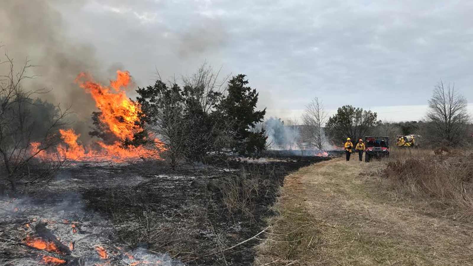
PIX4D is partnering with Firmatek, a U.S.-based geospatial solutions company whose DIY mapping platform enables companies across mining, aggregates, and construction to turn drone-captured imagery into precise volumetric measurements, 3D models, and progression maps. Through the Kespry Cloud Platform customers fly their own drones, upload images, and enable data-driven decisions through intuitive visualization and reporting supported by trusted advisors who eliminate the need for in-house photogrammetry expertise.
The spotlight
At the end of 2025, Firmatek transitioned from PIX4Dcloud API to the PIX4Dengine SDK, embedding photogrammetry directly into their production pipeline. Because all data is processed within Firmatek’s environment, customer data never leaves their infrastructure—improving security, reducing transfer overhead, and allowing full control over how and where data is handled. Firmatek can now scale compute resources on demand, stitch multiple jobs in parallel, and automatically assign native and non-native camera templates that improve output quality—all while their automated QA system catches failures early to avoid unnecessary cost and delay.
IMAGE
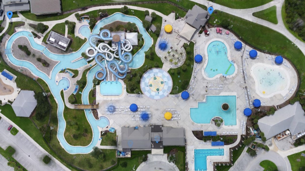
The results speak for themselves: completed products flow seamlessly into post-processing and tiling workflows with no API handoff, a custom GUI lets staff adjust parameters on the fly, and Firmatek has cut photogrammetry costs by more than 40% while delivering faster turnaround and fewer processing errors to customers.
IMAGE