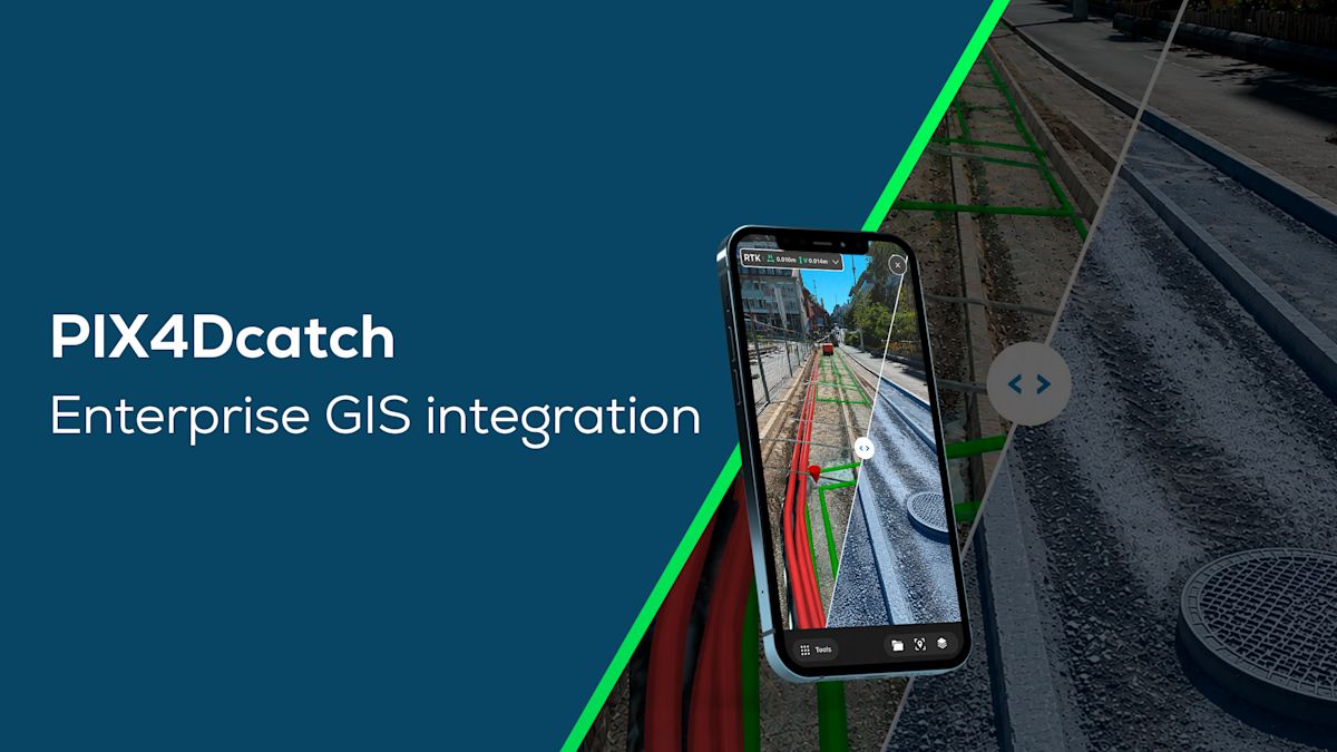
PIX4Dcatch: georeferenced 3D context for enterprise GIS
Infrastructure organizations rely on enterprise GIS to maintain an accurate view of their assets. Yet field teams still have to interpret 2D maps, reconcile fragmented reports, and manually translate site observations back into enterprise systems.
PIX4Dcatch bridges this gap by bringing accurate 3D capture and augmented reality (AR) into the same workflow. Existing assets can be visualized directly in their real-world context, while new conditions and observations are captured with survey-grade accuracy and connected back to the digital record. The result is a continuous flow of information between field and office.
Connecting field and office workflows
Field crews often arrive on-site uncertain about what is in the ground, relying on slow single-point or even in-trench manual measurements to update the organization’s digital record. Managing this data back in the office requires tedious consolidation and is error-prone.
PIX4Dcatch and the new enterprise GIS integration solve these challenges across the entire workflow:
- In the field: Operators replace manual processes with fast, reliable data capture using a smartphone. Augmented reality (AR) visualizes existing infrastructure right on-site, whether from more recently captured data or historical GIS records. This gives crews confidence to execute work orders and avoid costly incidents, such as utility strikes, which cost the U.S an estimated $83.2 billion annually.
- In the office: Field data streams back in real time, eliminating the need to consolidate disparate data sets or fix transfer errors, creating a single source of truth.
- Across both teams: office staff can analyze accurate site models while the crew is still in the field, enabling immediate decisions before anyone leaves the jobsite.
A survey-grade visual record generated in minutes for GIS mapping
With PIX4Dcatch, field crews can capture and generate a georeferenced 3D reconstruction in minutes, creating a visual record with accurate data that can be seamlessly integrated directly into ArcGIS.
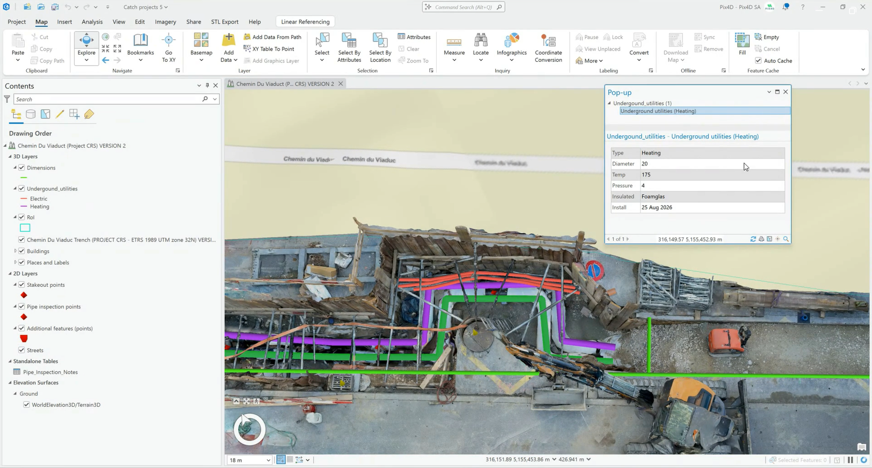
Since the dataset is sent directly from PIX4D to ArcGIS, it minimises errors and transcription time. Critical elements or site details, such as weld locations and depth from surface, can be reviewed and analyzed in the office long after work has been completed or the site conditions have changed.
GIS asset visualization in AR: for field operations safety and efficiency
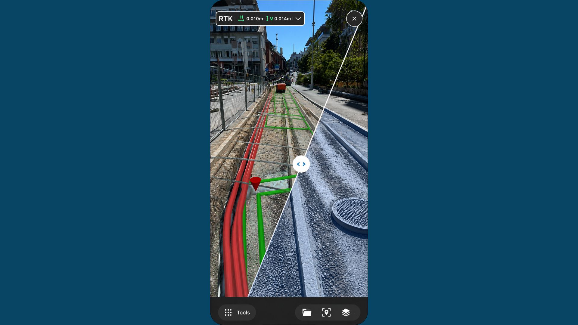
Instead of relying on 2D maps and locating assets point by point, 3D reconstructions and asset attributes visualized in AR provide on-site teams with full contextual information about the entire site.
With accurate 3D capture and augmented reality (AR) in the same workflow, existing assets can be visualized directly in their real-world context.
Users can visualize all assets and associated attributes such as asset type, date of installation, and work orders. Furthermore, PIX4Dcatch’s guide-to feature directs users to specified geolocated assets for staking, boosting onsite efficiency and accuracy.
Georeferenced AR extends the value of GIS beyond the map, creating new ways to interact with spatial information in the environment it represents. This release establishes an important foundation for PIX4Dcatch’s enterprise GIS workflows, and it is only the beginning.