Mapping geohazards with drones and Pix4D
In mountainous areas, geohazards such as rockfalls or landslides threaten transport routes. To create safe travel pathways, transportation agencies assess the natural landscape and topography before mountain roadways are constructed. This helps to mitigate these potential hazards and prevent road closures, road damage, and injuries. Even after construction, these roadways need to be monitored to ensure they are safe.
Using photogrammetry and drones to map these areas offers several benefits, such as high-resolution datasets, minimal (if any) traffic interruption, and more efficient data collection of real-time 3D data on the status of the site that would otherwise be dangerous and difficult to collect.

Insights on geohazard mapping
Chinook Landscape Architecture focuses on trails, outdoor recreation, and river restoration. They also use modern technology, such as drones and photogrammetry, to solve complex design problems. We spoke with Jon Altschuld, the founder and principal, about his use of drones and Pix4D to tackle geohazards.
Jon shared details about a recent project.
Assessing the landslide impact with drones and photogrammetry
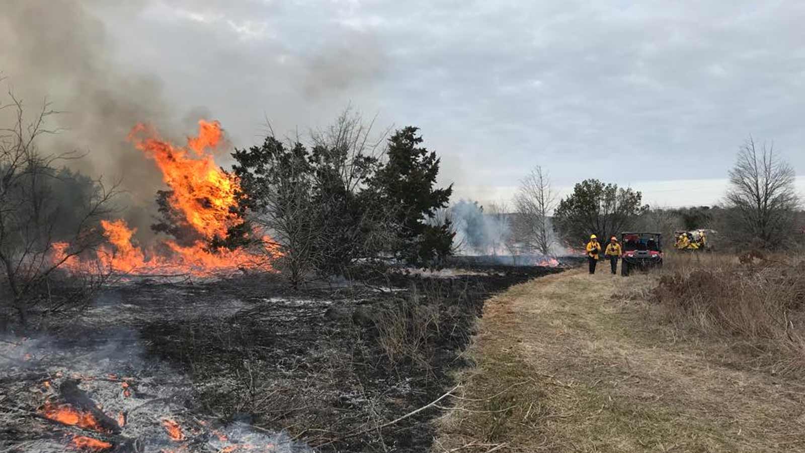
In June 2024, a major landslide destroyed a portion of Wyoming State Highway 22 on Teton Pass, a key route in the western United States. The Teton Pass area is part of the Rocky Mountains, known for its steep terrain and dramatic landscapes. This highway connects the mountain resort town of Jackson with neighboring communities, where the majority of the resort's workers live.

Mapping geohazards is very specialized as it generally requires flying the drone manually and flying very close to the subject, such as the rockface or slide area. Chinook has developed a specialty in this niche, they are one of the few service providers that are trusted with this type of work. They frequently work with the Department of Transportation (DOT) and the geotechnical engineers they hire. When Wyoming’s DOT hired Colorado based RJ Engineering and Consulting, Inc to assess the slide and develop repair options, they immediately reached out to Chinook since Chinook has supported RJ on challenging geohazard projects for over 8 years.

Challenges
Chinook faced several challenges: a short timeframe requiring immediate mobilization, an active construction and geohazard zone under heavy public scrutiny, and a difficult area to map manually. Coordinating three different local coordinate systems used by Wyoming’s DOT added complexity to aligning GCPs and ensuring correct data projection. Despite these hurdles, thorough planning—built on past experience—ensured they captured high-quality data without needing to re-fly or re-process anything.
Project details
| Location | Wyoming, USA |
| User | Chinook Landcape Architecture |
| Area surveyed | Approx. 70 acres |
| Images captured | 1,900 for larger area mapping. 650 for manual flights focused only on slide area |
| GSD | 1cm for larger area, 0.50cm for slide area |
For each visit, post-slide and mid-construction, the team conducted a full day of flights. They processed the data overnight and during the return trip from the site, followed by office work that included cutting cross-sections and other analyses for the geotechnical investigation.
The larger area was mapped at a ground sample distance (GSD) of 1.00 cm, while manual flights focused on the landslide area, achieving a higher resolution of 0.50 cm GSD. These flights were particularly important, as they were flown in front of the slide to capture the vertical and overhanging faces—critical details that typical nadir flights often miss. The data was processed in PIX4Dmatic.


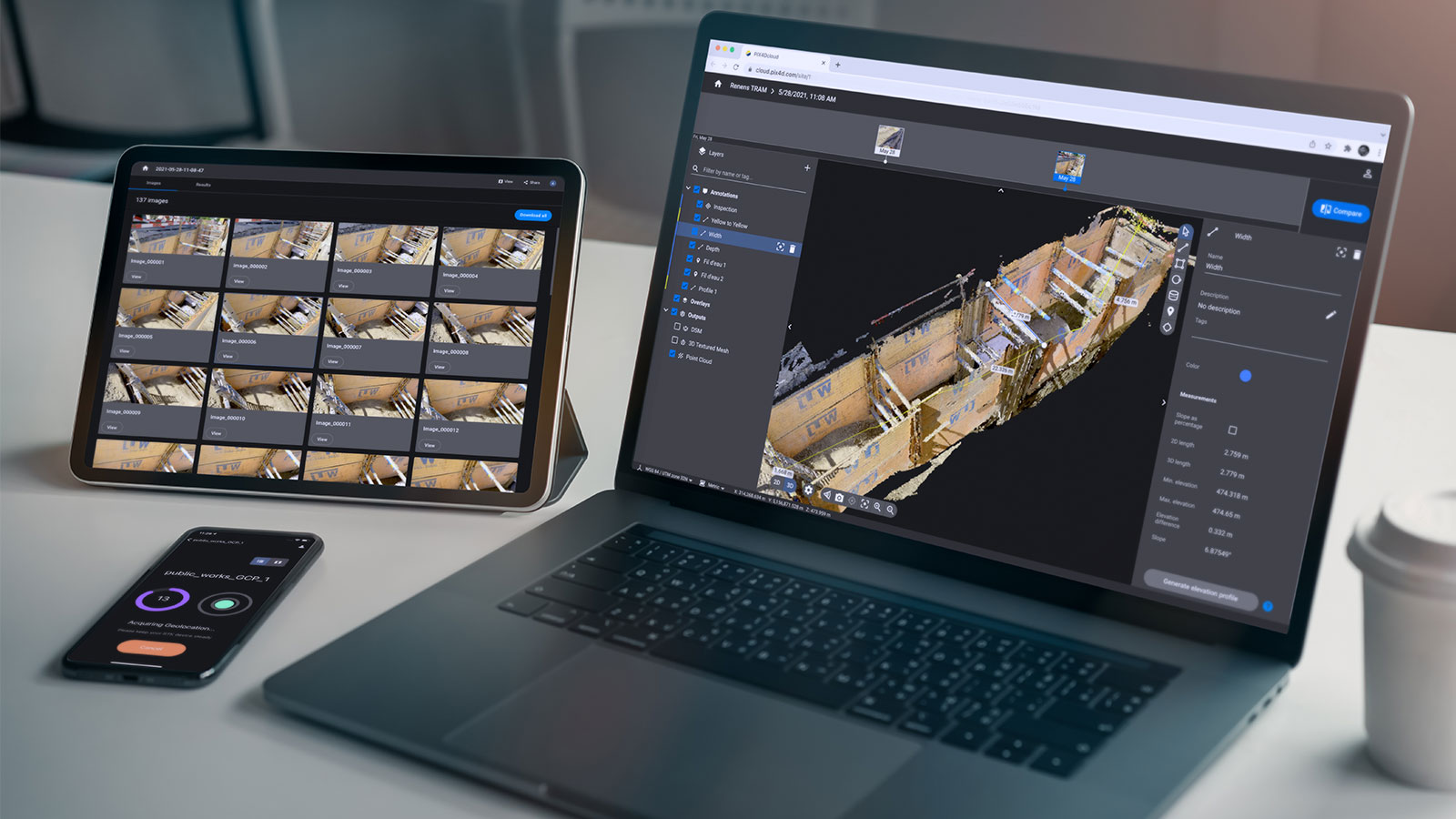
The datasets provided geotechnical engineers with the detailed information they needed to assess post-emergency conditions quickly, determine the landslide’s potential causes, and evaluate repair options. Pix4D software delivered powerful processing capabilities, while PIX4Dcloud served as the central communication hub.
Its user-friendly design meant no special training was needed, so everyone on the project could use it, regardless of their tech experience. Plus, seamless export options between PIX4Dcloud and GIS platforms like QGIS allow teams to design in QGIS and bring their data into the cloud for shared collaboration.

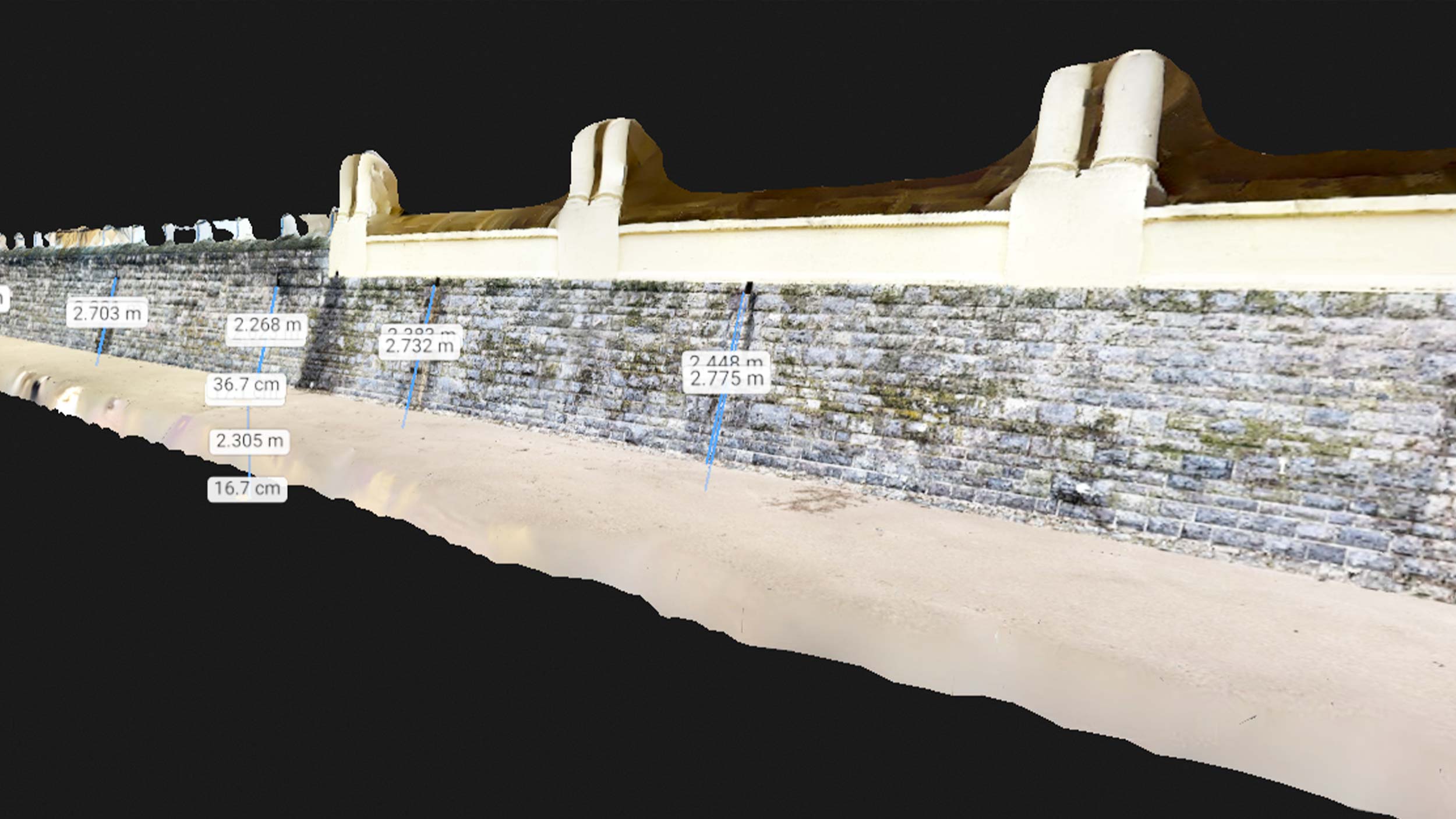
The ability to mark up datasets in real time in PIX4Dcloud—integrating external data such as plansheets and borehole locations and generating cross-sections—proved invaluable for keeping the project moving efficiently. By enabling collaborative design and data sharing, PIX4Dcloud enhanced the overall project collaboration, ensuring that all stakeholders remain aligned throughout the process.
From original 1950s design sheets and USGS pre-slide data to current drone imagery and proposed repair plans, PIX4Dcloud enabled the team to bring together decades of data in one cohesive environment.

Additionally, the 2D/3D comparison tool in PIX4Dcloud played a key role in monitoring progress along the highway. By overlaying historical flight data with newly captured imagery, the team could immediately visualize changes in the slope and road layout, helping to verify the progress of the repairs. This ongoing visual record ensured that everyone stayed informed about the project’s status and any necessary adjustments.
“Pix4D always has great processing software, and PIX4Dcloud really shined on this project as a collaboration and communication tool. Pix4D has been my go-to photogrammetry software since before starting Chinook 7 years ago." - Jon Altschuld, Principal, Chinook Landscape Architecture, LLC
The Teton Pass landslide case highlights how drones, photogrammetry, and PIX4Dcloud can address geotechnical challenges by capturing detailed data and sharing it among cross-disciplinary teams. By streamlining hazard assessment and repair planning, the project helped keep a critical highway open for local communities.


