PIX4Dfields 2.12: high-resolution satellite imagery
PIX4Dfields, the all-in-one solution for precision agriculture, now equips users worldwide with a powerful hybrid approach that combines drone data and high-resolution satellite imagery.
Access high-resolution satellite data in PIX4Dfields
We are excited to offer our users a unique workflow that bridges the gap between field-level drone detail and large-area satellite monitoring. Adding to our ultimate precision agriculture toolkit - which offers crop insights, damage reports, AI weed detection, AI Object Selection, and ready-to-use prescription maps - users can now access satellite imagery with up to 30cm resolution. Access 30cm–70cm high-resolution GSD satellite data from Vantor using Pix4D credits!
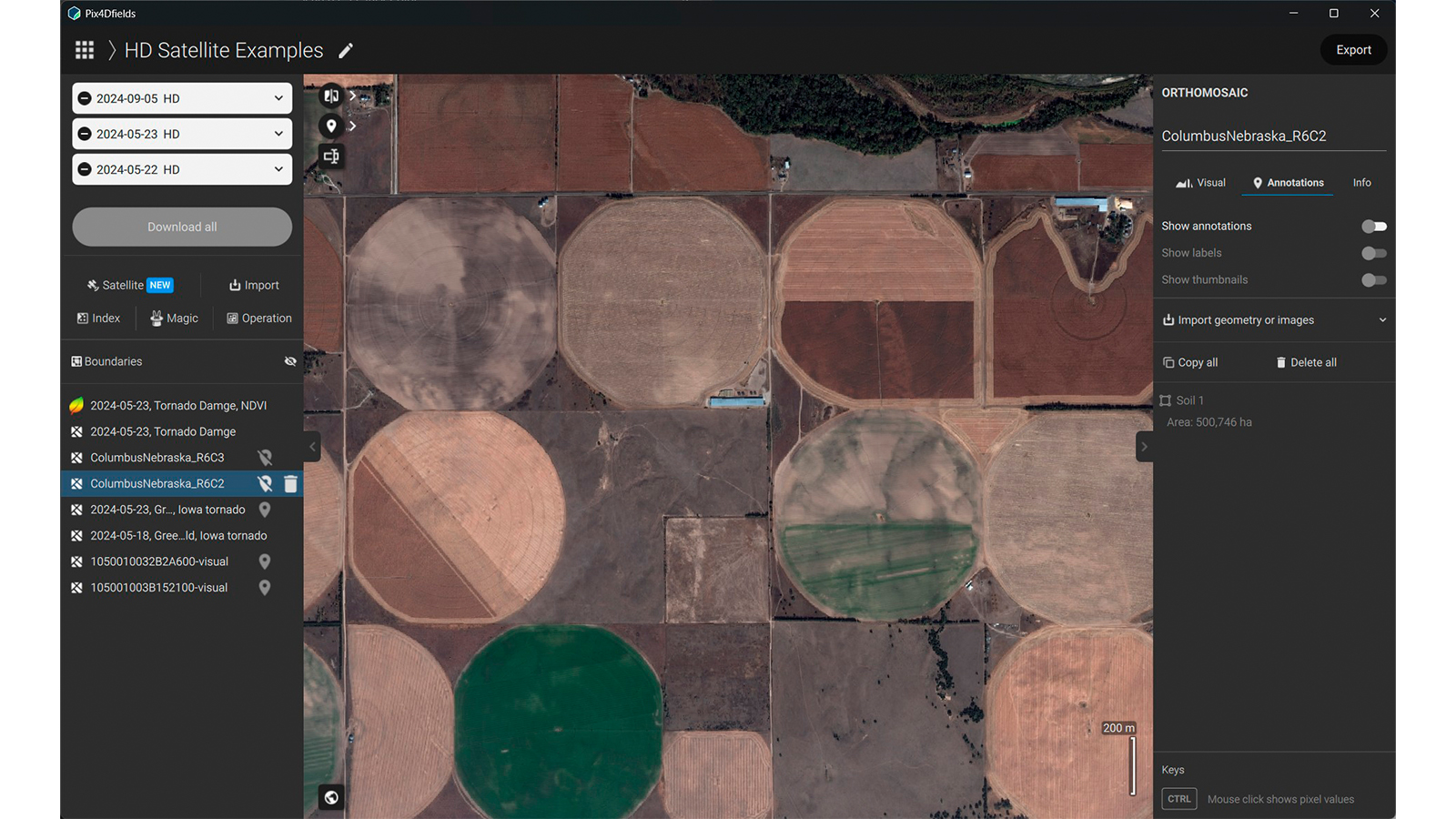
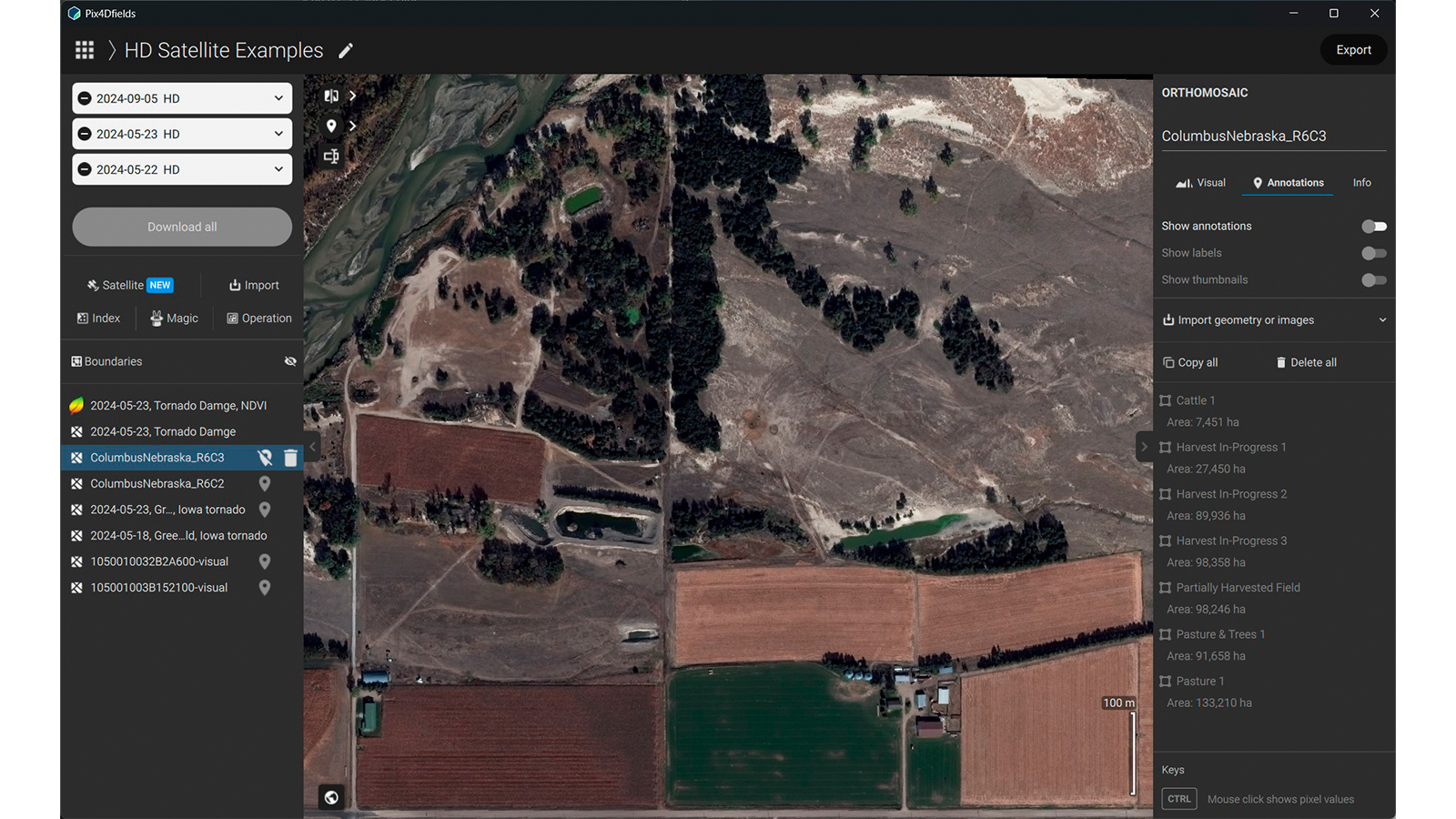
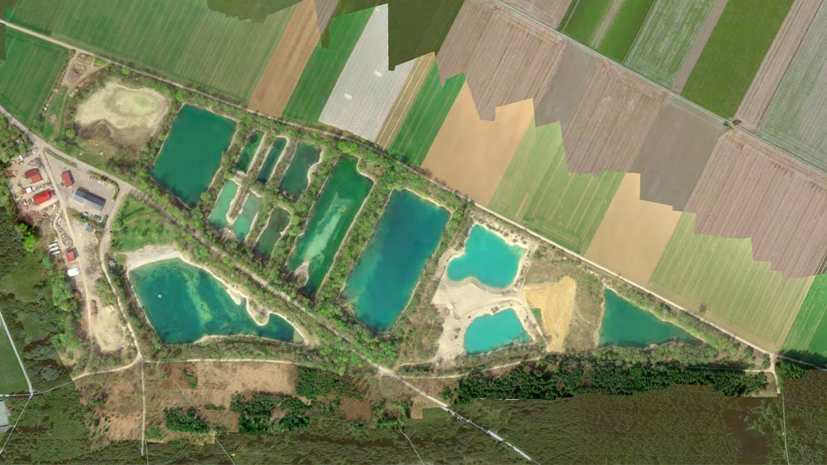
Improve your operations with deeper field intelligence. Inspect crops remotely to generate actionable vegetation indices and inform precision applications before ever setting foot on your field - anytime, anywhere.
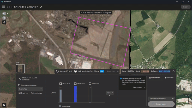
Learn more about this update on our support article.
EAVision spray drones, variable rate mission support, and more!
We are excited to announce that PIX4Dfields now offers full boundary and variable rate mission support for EAVision spray drones. You can now generate precise prescriptions to deliver active ingredients only where necessary. Optimize your dosage to maximize efficacy while reducing input costs, making your flights more profitable and sustainable. Use fertilizer, pesticides, and growth regulators smartly.
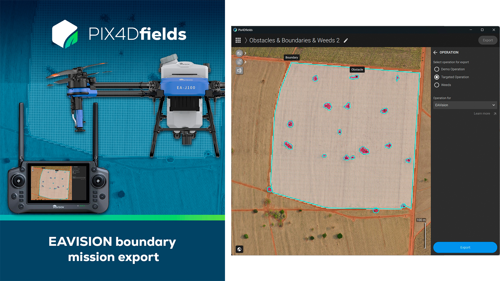
This update also includes support for ABZ Innovation L & S Series spray drones!