Explore what's new in the Pix4D ecosystem
At Pix4D, we believe that innovation means delivering meaningful solutions that meet professionals where they are: on site, under pressure, and working toward results that matter. With this release, we're taking a bold step forward—not only evolving our core technologies, but aligning them more closely than ever to the realities of modern fieldwork across industries.
From surveying and mapping to forensics, utilities, horizontal construction, and even indoor capture, every improvement in this release has been designed to address the specific workflows and challenges unique to each field. These include streamlining the capture process, improving collaboration, and introducing new ways to visualize and interpret 3D data.
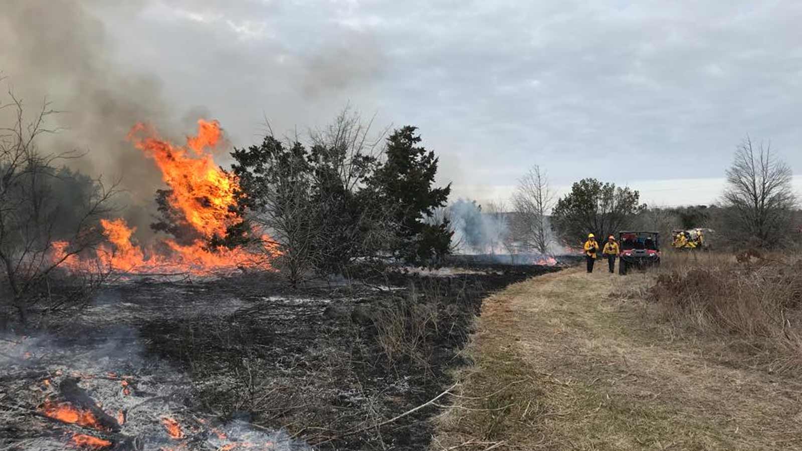
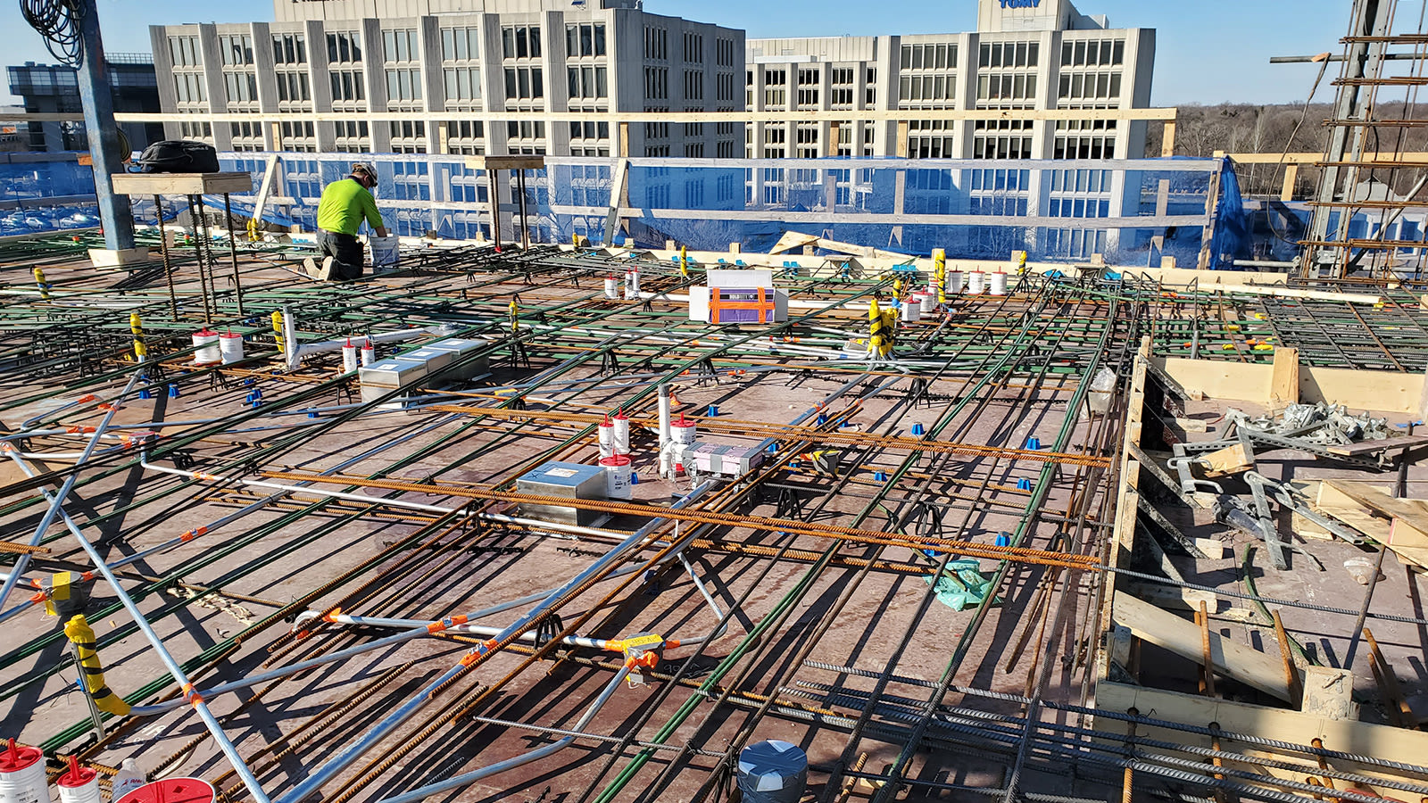
Utilities and horizontal construction
In large-scale infrastructure and utility projects, everything is about coordination. Field crews work in dynamic, sometimes high-risk environments, capturing data that needs to be understood quickly and acted on confidently by teams back at the office. That’s where this release makes a difference. Pix4D now bridges that gap more effectively, enabling field teams to capture not only the visuals but also the story behind them.
Thanks to the new annotations feature in PIX4Dcatch, all details can be recorded and saved directly on site. This feature allows the user to add useful project information by attaching an image, a description, and linking it directly to the pre-processed point cloud. Each annotation added in PIX4Dcatch is georeferenced and can be uploaded to PIX4Dcloud where all the project's contributors can review and confirm all necessary information is there, allowing utility owners or engineering companies to save time, money, and ensure completeness of the data capture on site.
We're introducing another valuable update for cloud users: the new region-of-interest feature. The region of interest can now be set either directly in PIX4Dcatch when uploading to PIX4Dcloud or configured later within the cloud platform itself when starting a new processing job. Whether you define it in the field or refine it back at the office, this added control gives you greater focus and efficiency across your projects.
It allows teams to hone in on what matters, focusing review and export efforts on the most relevant areas, and keeping attention where it’s needed most. To ensure our users can work seamlessly with the equipment they already trust, PIX4Dcatch now includes expanded support for RTK systems, including full integration with the Topcon HiPer CR.
This compact, robust, and high-performance GNSS rover is now fully compatible out of the box, meaning users can connect and capture with confidence, without the need for complicated setup or manual configuration. With this addition, we’re reinforcing our commitment to delivering end-to-end accuracy, regardless of your preferred hardware.
These changes improve how utilities and construction teams communicate, coordinate, and execute at scale. From field observations to cloud collaboration, this release turns scattered data into shared understanding and gives teams the clarity they need to move forward with confidence.
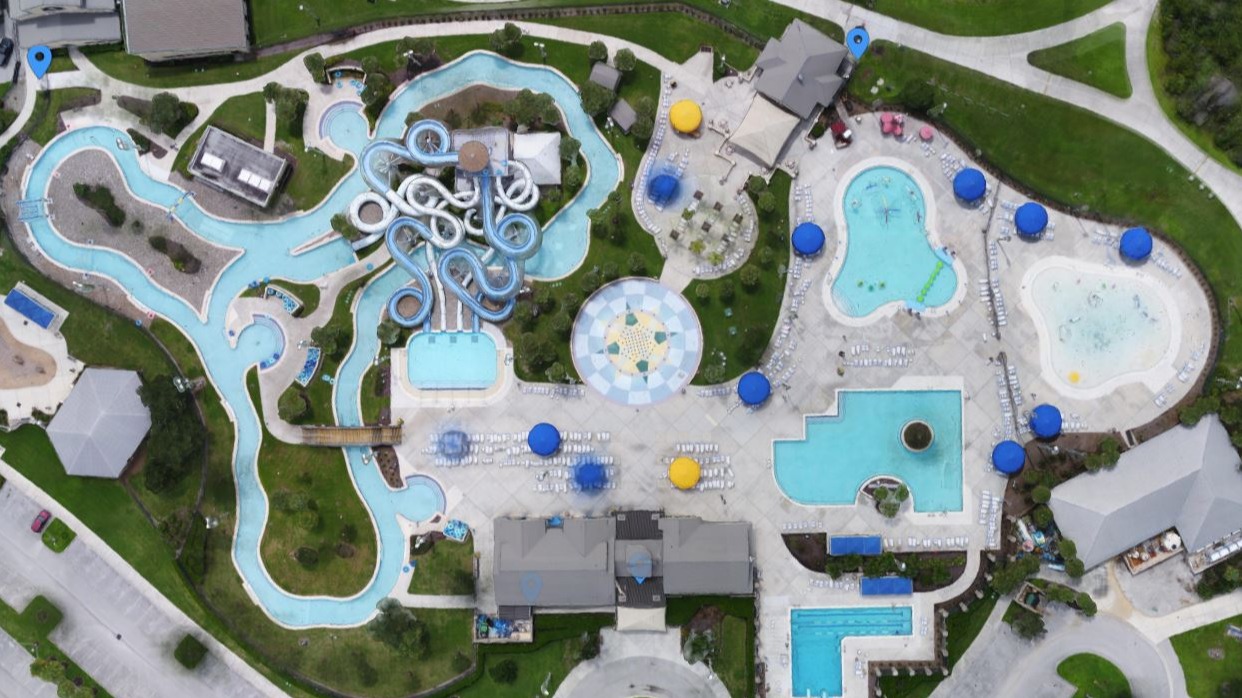
Surveying, mapping, and engineering:
In surveying, precision and productivity should go hand in hand, but too often, professionals are slowed down by disconnected tools, manual steps, and inconsistent data quality. Moreover, traditional methods, while technically robust, are often fastidious and complex to implement in real-world conditions, creating unnecessary friction in the field. This release reimagines that entire journey, offering surveyors a faster, smarter, and more integrated workflow.
In the field, the GeoFusion algorithm in PIX4Dcatch enhances data capture by improving AR stability thanks to the use of Autotags and by improving the 3D pre-processed point cloud with better densification. The result is cleaner, more reliable point clouds right from the start, especially valuable in complex or mixed-source environments where traditional alignment methods struggle.
Even in situations where the RTK signal is weak or unavailable, such as underground tunnels or dense urban areas, Geofusion intelligently fuses visual and positional cues to maintain accurate geotagging. This makes it ideal for applications like infrastructure inspection, tunnel documentation, or construction progress tracking, where GPS alone can’t deliver consistent results.
At the processing stage, surveyors can take advantage of hybrid modeling, seamlessly combining LiDAR and photogrammetry in a single pipeline. Whether you're using handheld scanners, drone-mounted LiDAR, or image data from ground-based capture, the workflow delivers high-fidelity meshes, DSMs, and orthomosaics. A denser and more scalable mesh pipeline, coupled with automated noise reduction, empowers users to focus on delivering results, not fixing data.
In addition, datasets captured with PIX4Dcatch and processed on desktop can now be uploaded to PIX4Dcloud, where Gaussian splatting becomes available as a new output option. While separate from LiDAR integration, this capability offers a striking new way to visualize image-based datasets in immersive detail. Gaussian splatting transforms how 3D results are experienced, producing smoother, more dynamic renderings that bring environments to life. It’s especially effective for showcasing complex spaces, like infrastructure sites or dense urban zones, in a visually compelling and intuitive format, turning raw data into a walkable digital reality.
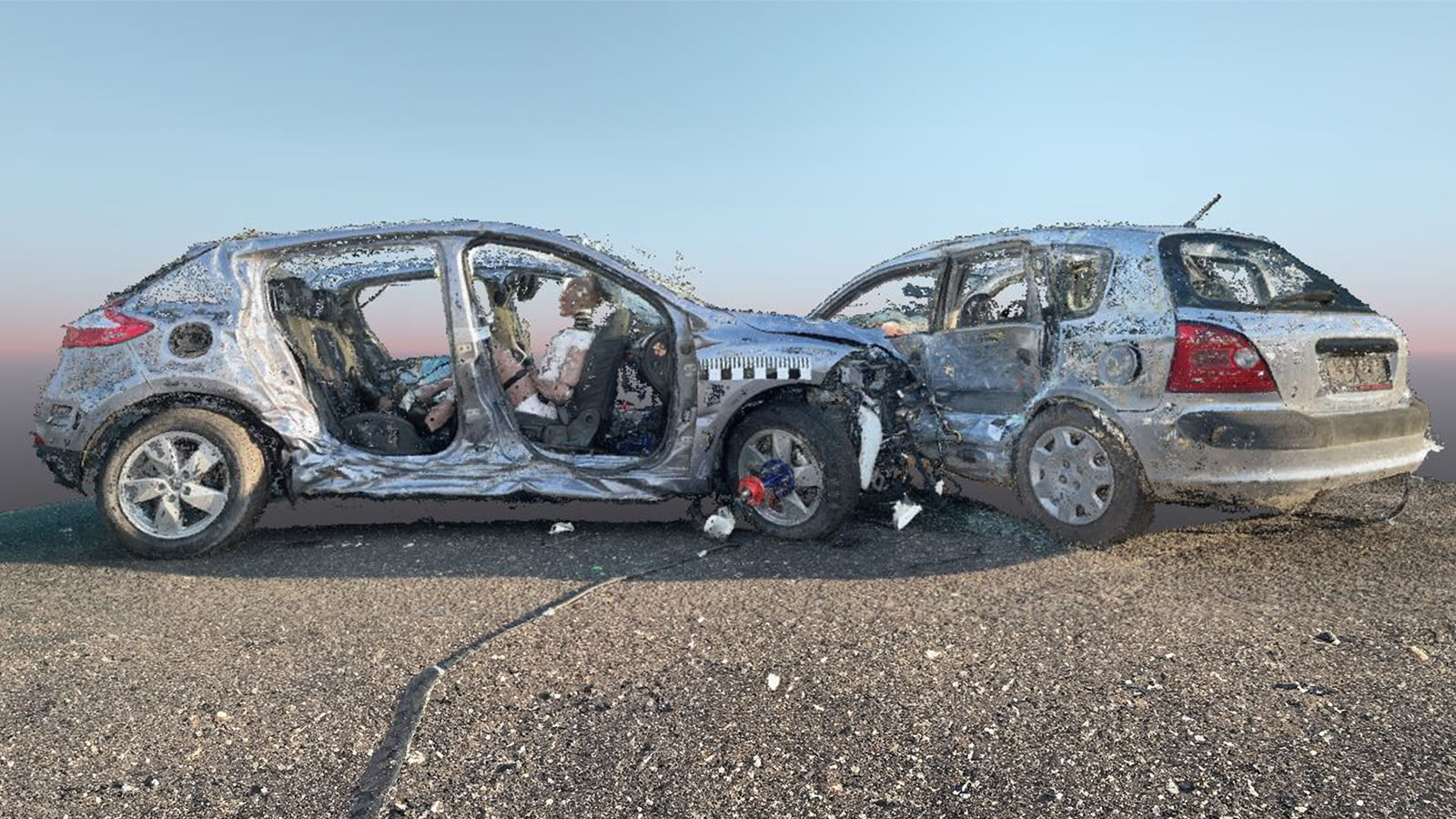
Forensics
In forensic investigation, simplicity isn’t a luxury, it’s a necessity. Scenes need to be captured quickly, clearly, and without technical barriers. With this release, Pix4D makes it easier than ever for investigators to go from scene to deliverable by implementing a more intuitive interface and improved processing paths. This means that high-quality results are easier to generate all within one connected ecosystem, regardless of how data is captured. Whether using mobile devices, drones, or other cameras, the workflow is flexible and makes it easier to work efficiently without needing highly specialized knowledge on-site. For teams working under pressure, what matters most is getting reliable results without the extra complexity. That’s exactly what this release delivers, with an improved UI that makes documentation and reconstruction smarter, simpler, and more intuitive, right from the moment of capture.
Solution for indoor
Indoor scanning has always posed a unique challenge: tight spaces, shifting light, and the need for high accuracy in places where GPS can’t help. For professionals exploring handheld workflows, the path hasn’t always been smooth. With this release, Pix4D takes important steps to change that. By integrating Pix4D Autotags and GCPs directly into AR cloud alignment, indoor capture becomes more precise and far more accessible. Whether scanning a mechanical room, a stairwell, or a full interior walkthrough, users now have access to tools that balance mobile simplicity with pro-level accuracy.
This isn’t just about adding new features, it’s about future-proofing how people capture spaces. LiDAR import into the desktop pipeline opens the door to hybrid indoor modeling that plays to the strengths of both photogrammetry and depth data. And as handheld scanning platforms continue to evolve, Pix4D is laying the foundation for broader compatibility, building a workflow that adapts to the tools users already trust. We’re not chasing trends; we’re responding to a growing need for smarter, tighter, and more versatile indoor capture, and this release is only the beginning.
As professionals across industries push for faster turnaround, higher accuracy, and greater adaptability, the tools they rely on must do more than deliver data, they must deliver clarity, context, and control. This release reflects a deep understanding of that shift: the need for seamless field-to-office integration, the importance of intuitive tools in high-stakes environments, and the growing expectation that software should flex to fit real-world workflows, not the other way around.
What ties this release together isn’t just new features, it’s a clearer vision of how reality capture should work: easier to use, easier to trust, and easier to scale. Whether it’s streamlining how teams work on-site, improving the way data moves across tools, or opening new possibilities for visualization, this new release moves the Pix4D ecosystem closer to what professionals actually need, results they can rely on, without the friction. This is more than a product update. It’s a step toward making advanced reality capture feel simple, powerful, and built for the real world.