Lights, Camera, Photogrammetry!
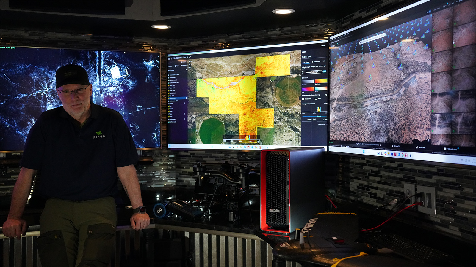
We sat down with Pete Kelsey, a technologist and photogrammetry specialist who’s spent years blending 3D reality capture with storytelling. Pete works with TV networks, production companies, and filmmakers to bring real-world sites and artifacts to life on screen. Using Pix4D tools, he helps turn raw data into immersive visuals, making complex scenes accessible, engaging, and unforgettable.
What’s your role in the production pipeline, and how did you get started with photogrammetry?
I spent 25 years in the AEC space. During that time, I was exposed to photogrammetry and reality capture — technologies I’ve been excited about ever since. Reality data provides context better than any other data type, so in my opinion, it’s the most valuable. That makes photogrammetry and reality capture the perfect tools for film production and storytelling.
Since 2009, I’ve been working with TV networks, production companies, and film producers to bring stories to life using photogrammetry and Pix4D. My role is to provide the technology that answers questions, aids investigations, and excites audiences by bringing sites and stories to life.
How is photogrammetry used in film? What is the value?
Filmmakers can achieve unparalleled realism and historical accuracy, digitally integrating even fragile or inaccessible elements directly into their productions. To bring sites and artifacts to life in 3D, photogrammetry adds photorealistic detail that gives audiences a true sense of presence. It transforms mass media from simply “tune in and watch” to “step inside—come explore with us.”
Rather than just observing, viewers feel like they’re part of the story. For production companies seeking new ways to captivate audiences, Pix4D tools turn interesting shows into fascinating shows.
Freefly drones are widely used in high-end film productions. What makes them a strong choice for capturing photogrammetry data on set?
Yes, they are. Historically, they’ve been used primarily for filming. Today, they’re also being used for reality capture, which is a perfect match.
The Astro MAX is an amazing tool for film production because of its payload capacity and wide range of payload options. These include cameras, LiDAR scanners, multispectral and thermal sensors, and more. They're made in the USA, so there are no issues with agencies that prohibit the use of Chinese-made drones. They’re exceptionally well-built by pilots who understand both the film and reality capture industries. They work every time. When the director says "action," failure is not an option.
With the Freefly and Pix4D collaboration, we now have a reliable drone-to-data workflow that fits seamlessly into production pipelines — capturing reality with precision, and turning it into high-quality, usable data with ease.
What is your opinion on handheld scanning with tools like PIX4Dcatch?
Yes, I used the handheld scanner (an iPhone 16 Pro with the PIX4Dcatch app with the Emlid Reach RX attached) at Skinwalker Ranch to capture an excavation site during an ongoing experiment. This wasn’t filmed, but I’ll be using it again when production resumes this summer. The production company is going to love it — it’s newer, simpler, faster than drone-based solutions, and delivers near real-time results, which is great for the audience!
Project details
| Location | Skinwalker Ranch, USA |
| User | Pete Kelsey |
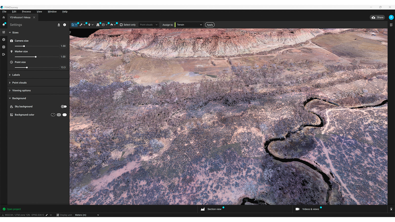
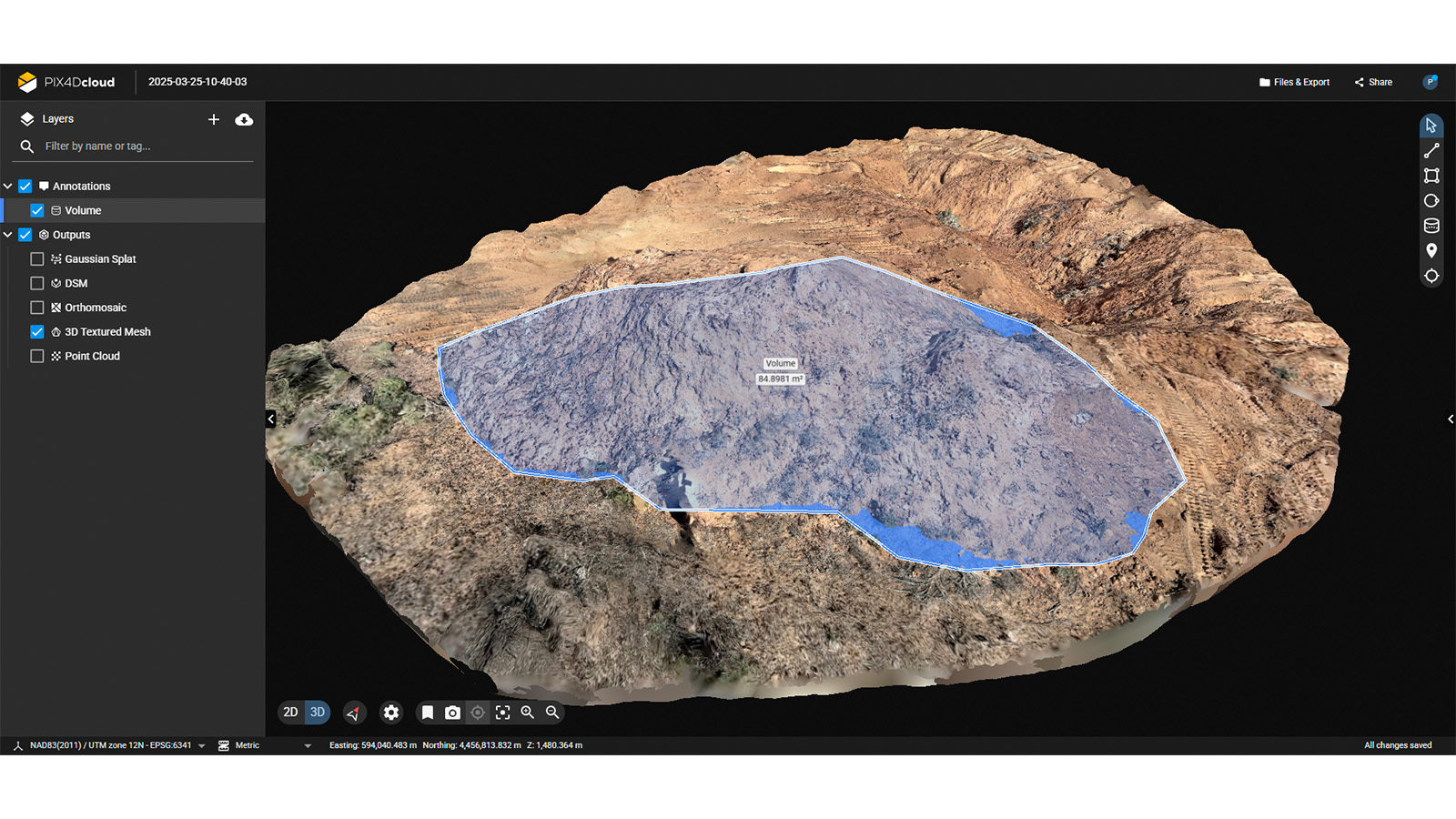
| Area surveyed | 512 acres |
| Software used | PIX4Dmatic |
| Hardware used | Freefly Astro MAX, Censys Sentaero 5, Lenovo P8 Thinkstation w/ AMD Ryzen Threadripper Pro 7995WX (96 Cores) 256 GB RAM |
| Images captured | Total images: 5600 |
| Processing time | 4 hours |
| GSD | 0.9 cm |
Advantages of using Pix4D in film?
Going forward, I plan to use mobile scanning for ground-accessible sites, artifacts, and excavation work in archaeological research. It’s fast, nets stunning results, and provides field-to-finish solutions for all the sensors I use. It remains the industry standard for photogrammetry. Being able to classify data and remove trees in PIX4Dsurvey is fantastic. PIX4Dfields is my favorite tool these days — it provides incredible value for archaeologists. What makes Pix4D stand out is its full ecosystem: whether I'm scanning handheld, flying drones, or processing large datasets, the tools are integrated and built for getting from the field to final results with speed and precision.