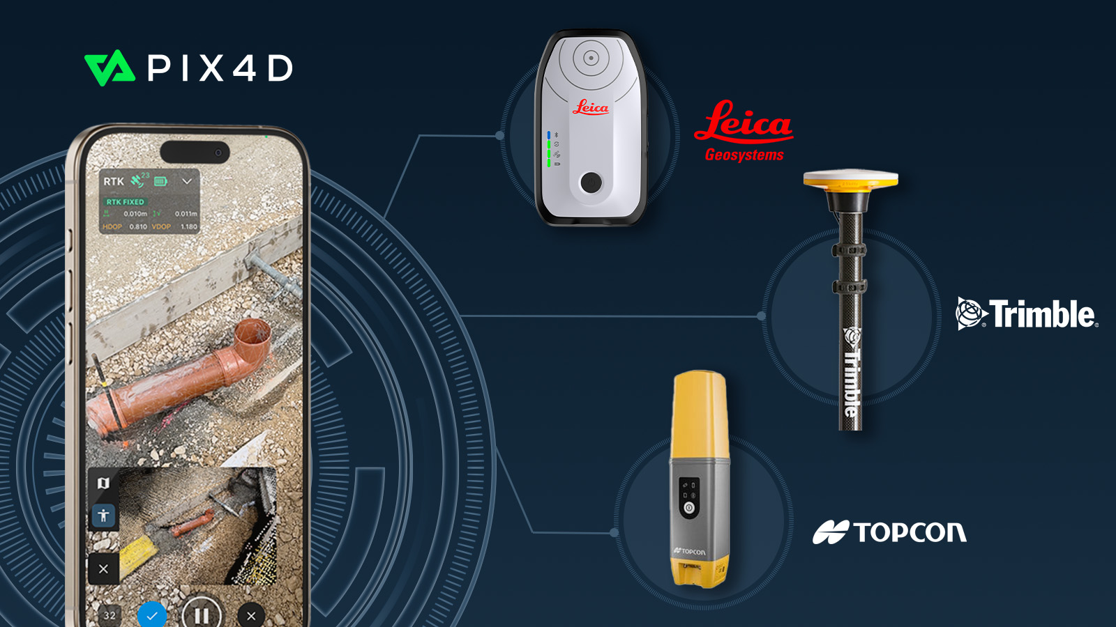
PIX4Dcatch welcomes the big three: Topcon, Trimble, & Leica
Leica Zeno FLX100, TrimbleⓇ DA2, and TopCon HiPer CR is fully supported by PIX4Dcatch, allowing users to choose the best GNSS solution for their data capture needs and enhancing the accuracy, precision, and efficiency of geospatial workflows.
This development is a major milestone for PIX4Dcatch. Now, professionals across industries such as construction, engineering, and GIS can utilize PIX4Dcatch’s 3D scanning and augmented reality (AR) features with greater accuracy and reliability.

The GNSS solutions
The Leica Zeno FLX100 plus is designed to withstand harsh environments, with dust and water resistance and a battery life of over 20 hours. It is ideal for applications such as trench inspections, as-built documentation, and site surveys, offering users a robust and easy-to-use solution for precise data capture in the field.
The TrimbleⓇ DA2, powered by Trimble Catalyst™ offers centimeter-to-sub-meter precision, delivering scalable accuracy, whether pole-mounted or handheld. The latest PIX4Dcatch update also simplifies the RTK connection process, allowing users to select an “automatic” option, reducing setup time and improving ease of use.
The final addition to the PIX4Dcatch RTK ecosystem is the TopCon HiPer CR. Renowned for its reliable GNSS accuracy, the HiPer CR empowers professionals to capture precise, high-quality data across diverse environments. It is particularly well-suited for land surveying, construction, and mapping.
“We are incredibly proud to bring Leica Geosystems, Trimble, and Topcon onboard with PIX4Dcatch. By integrating these three industry-leading RTK devices, we are giving professionals across sectors more flexibility, precision, and reliability. This marks a significant step forward in making high-quality geospatial data capture more accessible and efficient than ever before." - Andrey Kleymenov, Chief Commercial Officer of Pix4D.


