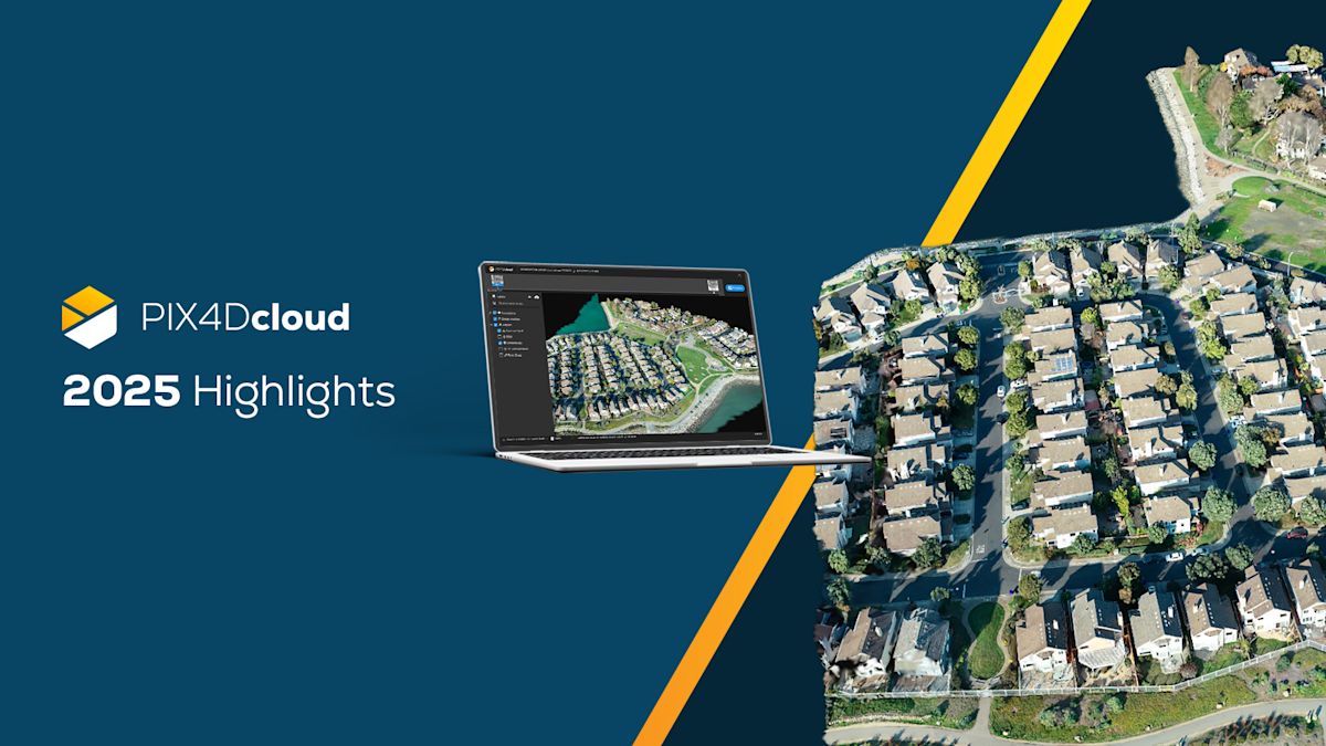
PIX4Dcloud highlights 2025
2025 has been a landmark year for PIX4Dcloud, defined by a massive leap in visualization technology with the introduction of the georeferenced Gaussian Splatting output! This innovative rendering technique, which was first introduced in February 2025 for terrestrial PIX4Dcatch workflows, has now expanded to support aerial drone imagery in less than one year. Simultaneously, the platform has improved with essential operational updates like Organization Management, SLPK exports, and enhanced processing capabilities.
Here are some of our top developments that defined PIX4Dcloud in 2025:
Gaussian Splatting for PIX4Dcatch in PIX4Dcloud
Pix4D has been focused from the beginning on developing a carefully engineered Gaussian Splatting algorithm that delivers not only visually striking results but also the level of accuracy that professionals expect from its products. The team has achieved outputs that combine photorealistic immersion with full georeferencing, meeting the strict precision standards that define Pix4D. This marks a significant shift in visualization, bringing together the power of neural rendering with the reliability required for professional utility documentation, as a major segment for PIX4Dcatch.
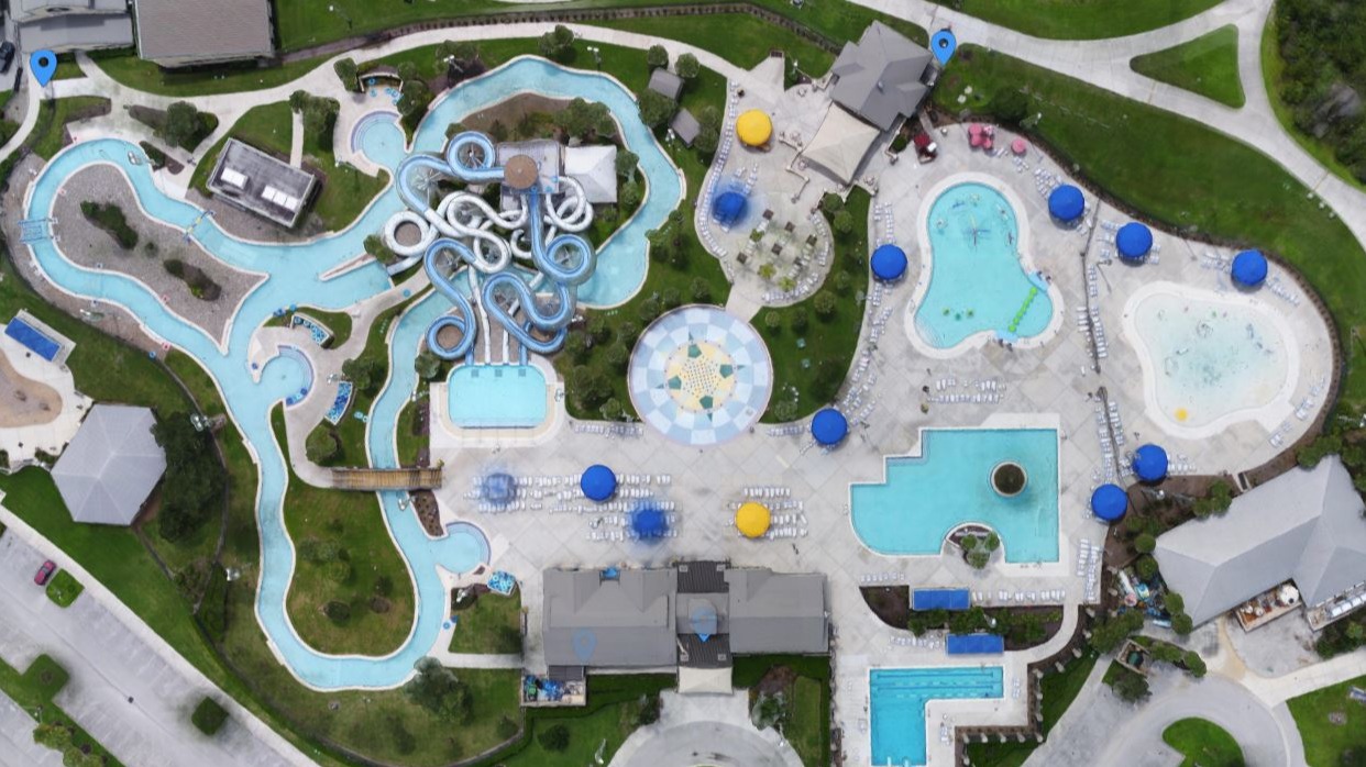
Gaussian Splatting for drones in PIX4Dcloud
By adding support for drone datasets in PIX4Dcloud, Pix4D moved Gaussian Splatting into the scale and complexity where it delivers real impact. The goal was not simply to extend a feature, but to ensure that it produces accurate, georeferenced results across both ground-level and aerial capture. This creates a consistent output layer that construction and infrastructure teams can use for inspections, progress validation, and cross-team communication—replacing fragmented visuals with a single, high-fidelity representation of the entire site, with the accuracy that represents Pix4D.
Organization Management
Empowering teams was a major focus for Pix4D this year, which is why the launch of Organization Management marked such a pivotal shift. By restructuring subscriptions to belong to organizations rather than individuals, Pix4D fundamentally changed how PIX4Dcloud operates at scale. This model directly impacts cloud-based workflows. This removes the limitation of single-user access, enables unlimited seats, and ensures that everyone—from field crews to project managers to external partners—can collaborate on the same data.
Companies are now using PIX4Dcloud as a shared operational environment, with role-based permissions and centralized management, ensuring that the entire project ecosystem relies on one source of accurate, up-to-date information.
Attaching images to annotations
To strengthen the connection between the field and the office, PIX4Dcloud introduced the ability to attach images to annotations directly from the mobile interface. Field teams can open the same PIX4Dcloud project on their phone, capture what they see on site, and immediately enrich office-created points of interest with real, contextual images. This seamless field-to-cloud workflow makes verification faster, keeps everyone aligned on the exact conditions in front of them, and significantly reduces the need for return visits.
SLPK export & annotation snapping
Bridging the gap between photogrammetry, BIM, and GIS was a key focus for the PIX4Dcloud team this year, and several releases pushed this workflow forward. The introduction of direct SLPK (Scene Layer Package) requests streamlined the export of point clouds and meshes to external platforms, making it easier for teams to bring their spatial data into GIS or digital construction environments.
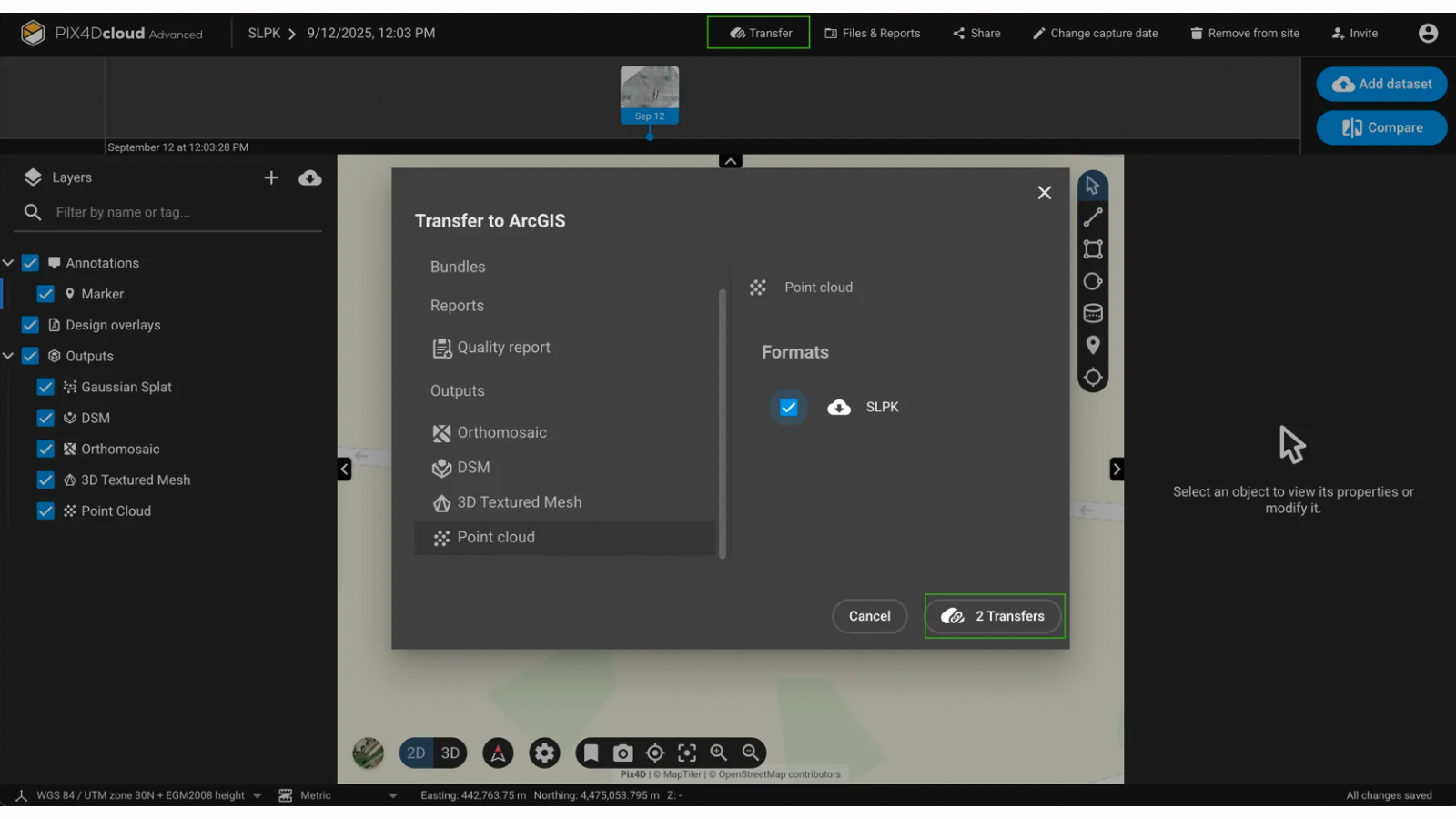
Complementing this, the new Annotation Snapping capability in the 3D editor allows users to anchor measurements directly to the edges of imported DXF and IFC files. Together, these improvements significantly reduce manual error and bring greater confidence to digital variance checks across the entire field-to-design workflow.
ArcGIS online export
To improve interoperability for GIS professionals, the direct Export to ArcGIS Online integration was launched. This feature enables the seamless transfer of orthomosaics and DSMs from PIX4Dcloud Advanced directly into Esri’s ArcGIS Online environment. This eliminates manual file handling and streamlines the workflow between photogrammetric processing and the geospatial system of record management.
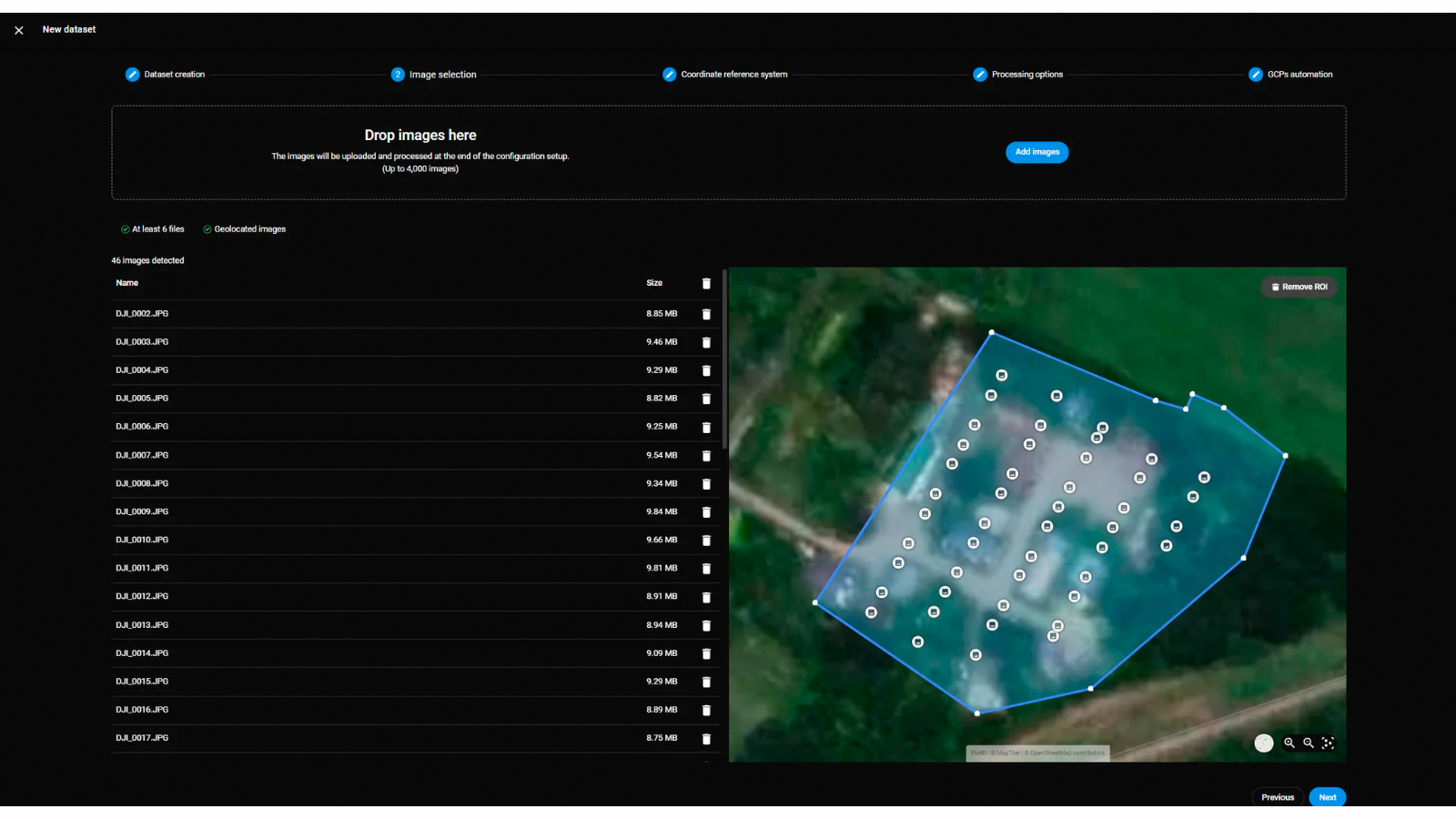
Region of interest for processing
The introduction of Region of Interest (ROI) processing allows users to define specific reconstruction boundaries prior to processing. By excluding irrelevant surrounding data, this feature optimizes credit consumption and reduces processing times, resulting in cleaner, site-specific outputs that require less post-processing cleanup.
2025 in review
The PIX4Dcloud retrospective for 2025 showcases a major technical breakthrough: the successful integration of georeferenced Gaussian Splatting across both phone and drone datasets. This advancement allows users to create highly detailed and visually striking 3D models that are simultaneously fully measurable and geospatially accurate—meeting the industry's strict precision requirements. Experience the future of reality capture for yourself: simply upload a drone project or scan a site with your phone using PIX4Dcatch and see how effortless it is to generate a state-of-the-art Gaussian Splatting output on PIX4Dcloud.