Smarter spraying: $4,8K saved in one application
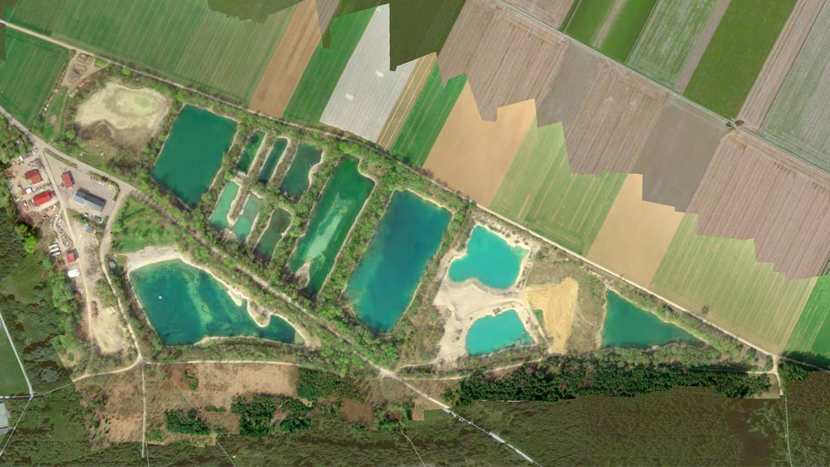
Agropix, an Argentinian precision agriculture company, uses drones and PIX4Dfields to revolutionize weed management. Their team specializes in drone surveys, mapping, and spot-spraying, helping farmers optimize resources and reduce environmental impact. In one project, they tackled a severe Johnson Grass infestation in an 86-hectare wheat field. Instead of the costly and wasteful traditional method of spraying the entire field, they used a targeted approach.
Selective herbicide application on a 86 hectare wheat field
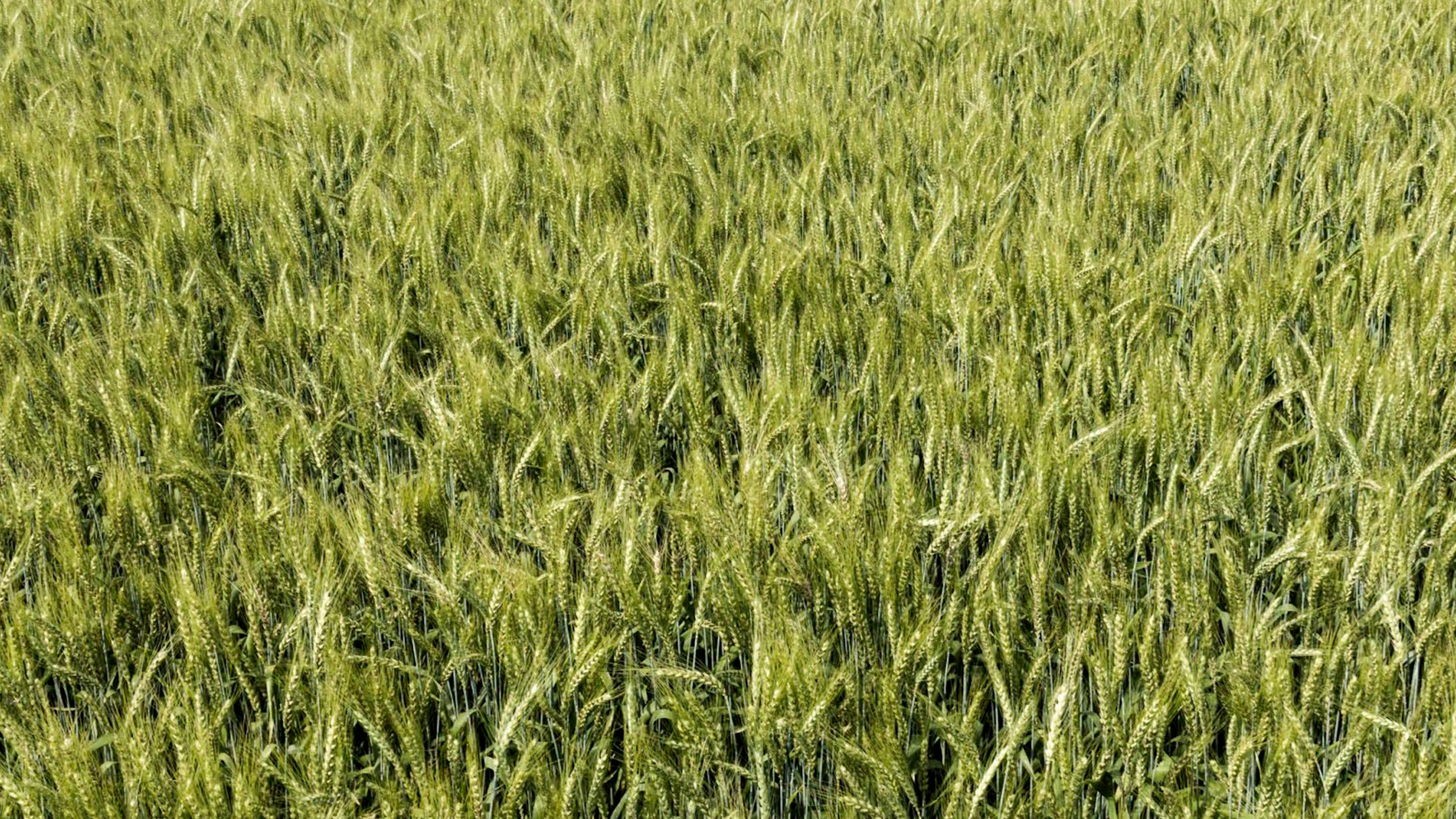
The main challenge was accurately detecting Johnson Grass in a wheat crop that was already at physiological maturity. Differentiating between the crop and the weed required high-quality images and efficient processing. To solve this, the Agropix team chose PIX4Dfields.
The process began with a detailed aerial survey of the 86-hectare wheat field using a DJI Mavic 3M multispectral drone. The images were processed locally and offline with PIX4Dfields, which generated a highly accurate orthomosaic for analysis and subsequent prescription creation. The image analysis, aided by PIX4Dfields' AI-powered Magic Tool, an automatic weed detection tool, revealed that Johnson Grass was only present in 15 hectares of the plot.
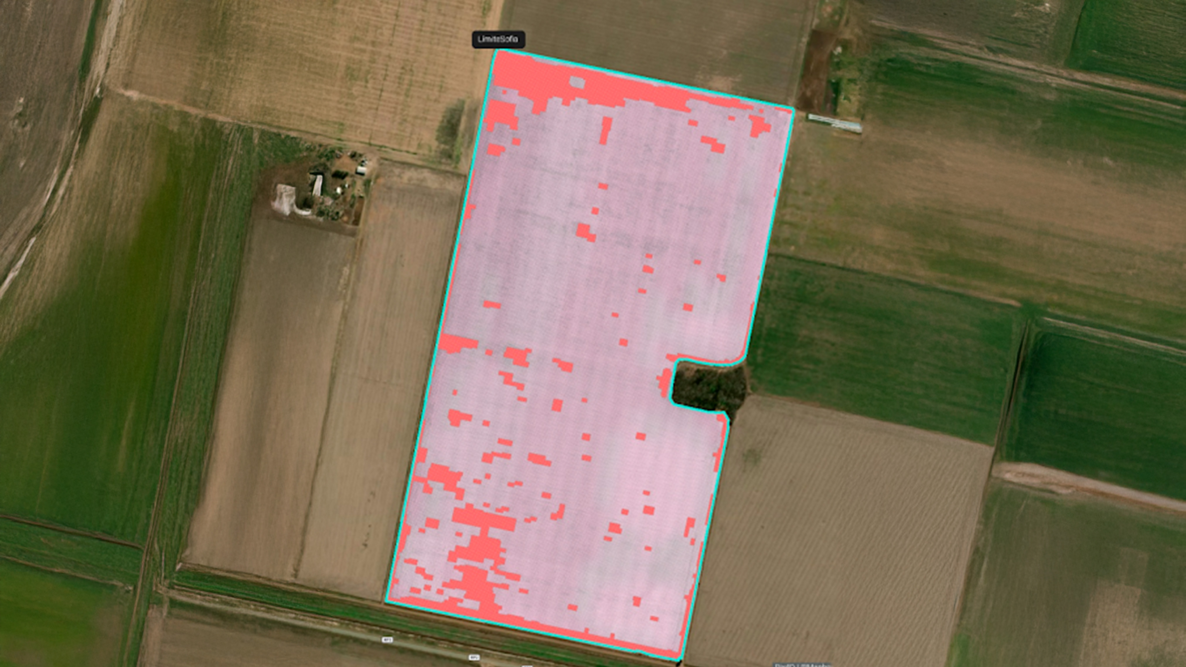
Based on Magic Tool's automatic weed detection on the field, Agropix team created a targeted herbicide prescription map in seconds. This map could be directly used with their DJI Agras T40 spray drone for the application of the graminicide exclusively to the affected areas with weeds.
Project Details
| Location | Noetinger, Córdoba, Argentina |
| User | Agropix |
| Project duration | 2 days |
| Area surveyed | 86 hectares |
| Software used | PIX4Dfields |
| Hardware used | DJI Mavic 3 Enterprise Multispectral, DJI Agras T40 spray drone |
| Processing time | 10 minutes per 100 hectares (on average) |
| GSD | 3 CM/Pixel |
Cost savings for the farmer
In just two days, the project yielded highly successful results: precise control of the perennial Johnson Grass, a significant reduction in environmental impact, and major economic savings.
The cost savings were achieved by avoiding a full-field herbicide application. By using drones and PIX4Dfields to treat only the affected areas, herbicide was not applied to 83% of the field. With a representative cost of approximately $7 per liter of concentrated graminicide:
- Cost for 20.66 hectares: 216.93 liters×$7/liter=$1,518.51
- Cost for 86 hectares: 903 liters×$7/liter=$6,321
- Estimated cost savings: $6,321−$1,518.51=$4,802.49

The speed, accuracy, and seamless compatibility with spray drone applications made PIX4Dfields the ideal choice for this project, enabling Agropix to provide a superior service to their client.
“Pix4D allowed us to process the information quickly and reliably, generating selective prescription maps that integrated seamlessly with the drone application. This was critical to achieving efficient control of Aleppo Sorghum and significantly reducing herbicide use." - Ignacio Ramello, Agricultural Engineer at Agropix Technological Solutions