Pix4D climate contest
Mapping a better future
“It is still possible, using a wide array of technological measures and changes in behavior, to limit the increase in global mean temperature.”
- United Nations, Sustainable Development Goals
We know the climate is changing. But in order to do something about it, the change needs to be mapped.
From tracking melting glaciers in rural Kyrgyzstan, to counting the cost of storm damaged crops in Puerto Rico, to mapping chimpanzee nests in Tanzania, Pix4D software and aerial mapping is already helping scientists and citizens prepare to meet the climate crisis.
We want to help you make a difference. Pix4D's climate contest includes a cash prize and free access to our powerful photogrammetry software to empower changemakers to get their program off the ground.
It's free to enter, and open to any individual or organization, anywhere in the world.
Ready to change the world?
“The time for real climate action has come. Diversity in action is key and this contest shows that mapping technology can bring relevant solutions to complex problems.”
- Théo Milliez, Swiss Youth for Climate
It's time to take action on the climate crisis. Pix4D is proud to support people who are making a real difference.
The first ever Pix4D Climate Contest in 2019 awarded a total of $6,000 USD in cash, as well as access to Pix4D software, support and certification to empower changemakers to get their program off the ground.
Meet the winners who will change the world
“The time for real climate action has come. Diversity in action is key and this contest shows that mapping technology can bring relevant solutions to complex problems.”
- Théo Milliez,Swiss Youth for Climate
It's time to take action on the climate crisis. Pix4D is proud to support people who are making a real difference.
The winners of the first ever Pix4D Climate Contest in 2019 demonstrated original ideas with real potential to slow the pace of climate change. That's not the only thing they had in common: each showed the potential of both mapping and new technology in a rapidly changing world.
The first ever Pix4D Climate Contest in 2019 awarded a total of $6,000 USD in cash, as well as access to Pix4D software, support and certification to empower changemakers to get their program off the ground.
We're proud to support them, and to share their work with you.

Meet the changemakers
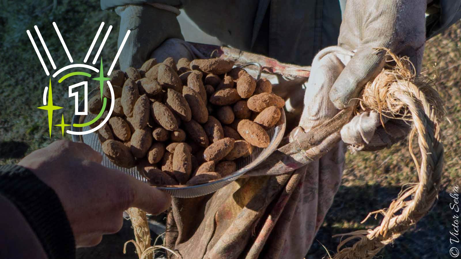
First place: Sowing 100,000 trees
Dronecoria focuses on affordable large scale restorations with UAV-based aerial sowings, dramatically reducing the cost of reforestation and carbon sequestration.
Read the full story
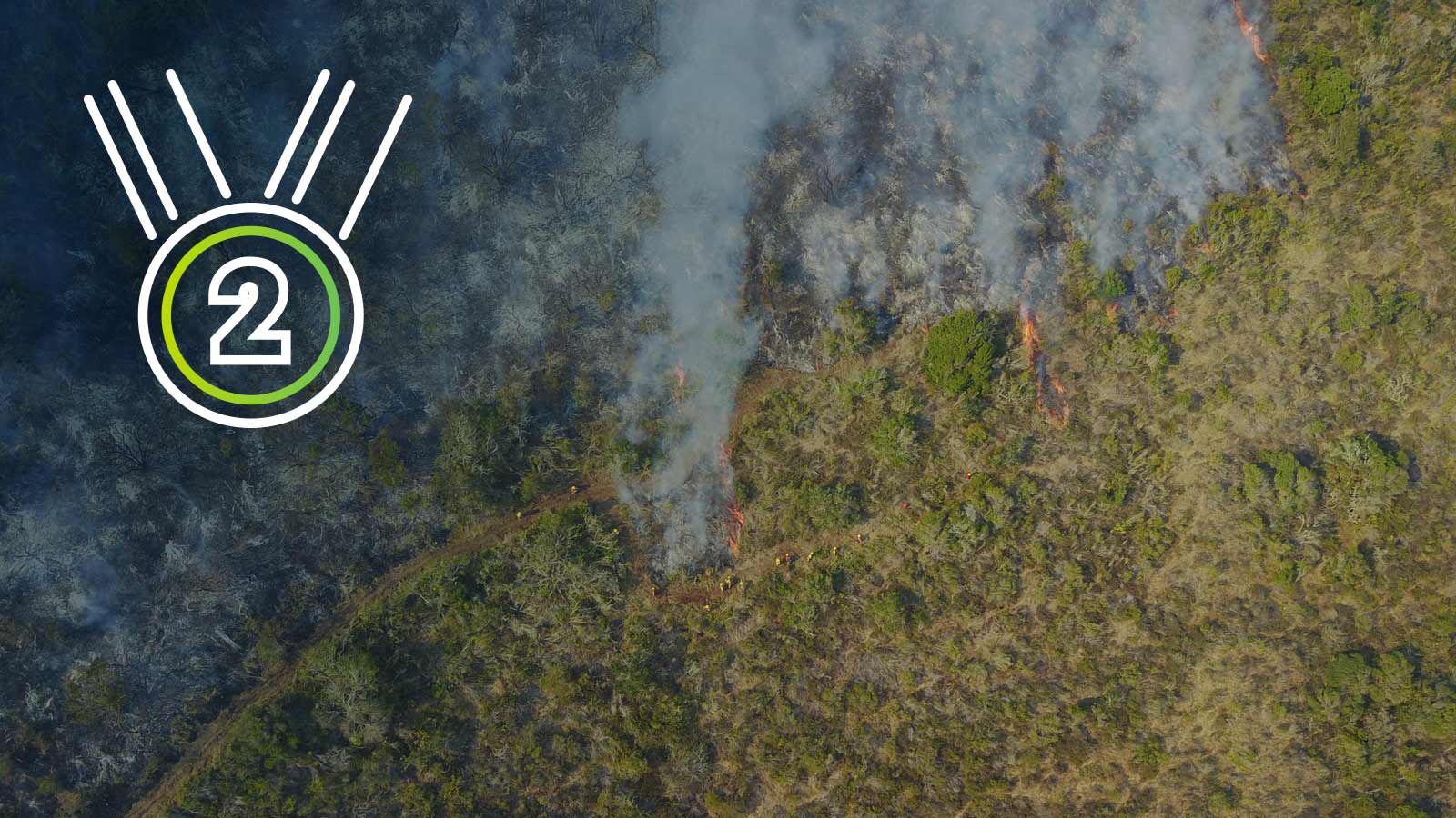
Second place: Protecting biodiversity and reducing CO2 emissions by predicting wildfires
By algorithmically examining thermal and RGB drone maps, the Wildfire Aversion by Forecast and Early Response System (W.A.F.E.R.S.) aims to predict and track the spread of wildfires, and ultimately prevent fires from breaking out. Wildfires are devastating to wildlife and biodiversity, and release massive amounts of CO2 into the atmosphere.
Read the full story
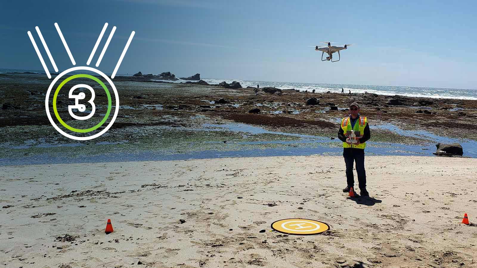
Third place: Fighting the Coastal Kelp Apocalypse
Kelp sequesters as much carbon as a rainforest - but it's rapidly dying off. By tracking the changes from one season to the next, this team aims to preserve selected local nearshore kelp populations and facilitate recovery by tracking restoration efforts and measuring which interventions result in the biggest improvement to kelp health.
Full story coming soon
More details and comments from the judges.
How drones are being used to help the environment
Free ebook: Climate Revolution: Drones, photogrammetry and crisis
Discover how drone operators, GIS experts and scientists are currently using drones and mapping to reduce environmental impact, plan resilience to climate change, track the changing planet and finally mitigate the effects of the climate crisis.

Ready to enter? Here's what you need to know.
Make a difference to your community, and to the world.
Feeling inspired?
You and mapping can make a difference to your community, and to the world.
Project proposals
Each proposal needs to demonstrate how the project contributes to the action against climate change.
Project proposals should:
- Include clear milestones to show progress and contribution for continued support and public communication.
- Introduce the team behind the project.
- Projects may be ongoing or unstarted, but must be completed no later than the end of 2020.
- Projects must use Pix4D products, and proposals must be presented in English.
Scoring and critera
Projects will be selected by a panel of judges, and will be awarded up to 100 possible points based on the following criteria:
- Originality of the project - 25 points
- Climate impact convince us that the project will make a difference - 25 points
- Role and importance of cartography and 3D modelling in the project - 25 points
- Clarity of application: is the presentation easy to understand? Are difficult concepts explained clearly? Is sufficient background information provided? - 25 points
It would be a bonus if the project contributes to more of the UN sustainable development goals.
Meet the Pix4D Climate Contest jury

Christoph Strecha
Pix4D CEO
Pierangelo Rothenbühler
Pix4D Business Development Manager & Climate Activist
Barbara Horvatic
Pix4D Agriculture Marketing Manager
Swiss Youth for Climate
syfc.ch2019 Project proposals
Each proposal demonstrated how the project contributes to the action against climate change.
Project proposals:
- Included clear milestones to show progress and contribution for continued support and public communication.
- Introduced the team behind the project.
- Projects may be ongoing or unstarted, but must be completed no later than the end of 2020.
- Projects must use Pix4D products, and proposals must be presented in English.
2019 Scoring and critera
Projects were selected by a panel of judges, and were awarded up to 100 possible points based on the following criteria:
- Originality of the project - 25 points
- Climate impact convince us that the project will make a difference - 25 points
- Role and importance of cartography and 3D modelling in the project - 25 points
- Clarity of application: is the presentation easy to understand? Are difficult concepts explained clearly? Is sufficient background information provided? - 25 points
It was a bonus if the project contributes to more of the UN sustainable development goals.
Meet the 2019 Pix4D Climate Contest jury

Christoph Strecha
Pix4D CEO
Pierangelo Rothenbühler
Pix4D Business Development Manager & Climate Activist
Barbara Horvatic
Pix4D Agriculture Marketing Manager
Swiss Youth for Climate
syfc.ch
Pix4D climate contest prizes
First place
$3,000 USD cash prize
- Access to required Pix4D software and support services for 1 year
- Marketing support, including an article on pix4d.com plus social media and email exposure
- Pix4Dmapper Fundamentals certification exam access for up to five team members
Second place
$2,000 USD cash prize
- Access to required Pix4D software and support services for 1 year
- Marketing support, including an article on pix4d.com and social media and email exposure
- Pix4Dmapper Fundamentals certification exam access for up to three team members
Third place
$1,000 USD cash prize
- Access to required Pix4D software and support services for 1 year
- Marketing support, including an article on pix4d.com and social media and email exposure
- Pix4Dmapper Fundamentals certification exam access for one team member
