

PIX4Dsurvey
Preview new release
1.53.0 – November 16, 2023
Documentation and support are not available.
Recommended hardware specifications
Operating system
- Windows 10 (64 Bit) or above
- macOS Big Sur (11) or above
CPU & RAM
- Quad-core or hexa-core Intel i7/ i9/ Xeon, AMD Threadripper
- 32GB RAM (or more)
Hard disk
- Solid state drive (SSD)
GPU
- GeForce GPU compatible with OpenGL 4.1
Discover how our users simplify their workflows
Digital cadastral surveys with drones and photogrammetry
To update land and property boundary records, this team set out to use drone mapping with PIX4Dmatic and PIX4Dsurvey.
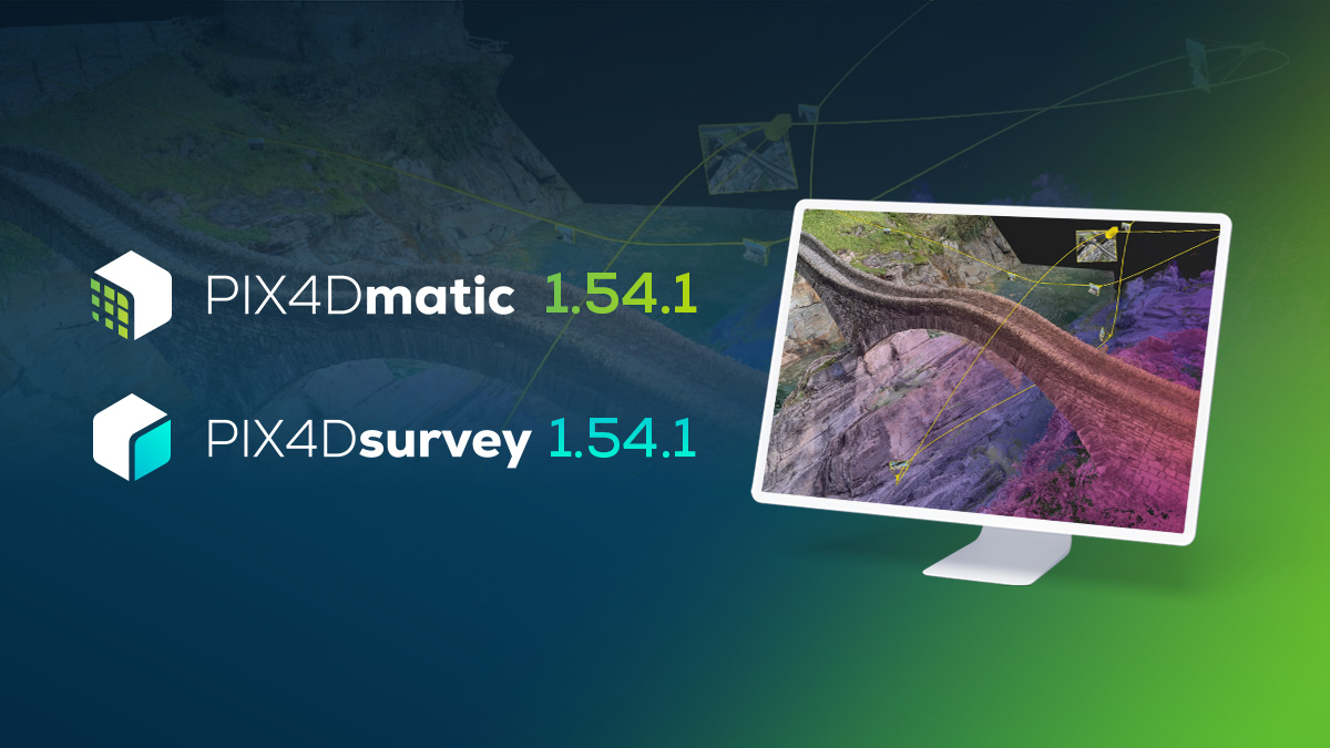
PIX4Dmatic & PIX4Dsurvey 1.54.1: video flythroughs and more!
PIX4Dmatic & PIX4Dsurvey 1.54.1 introduce videos & views, the object selection tool, detailed quality report, and much more.
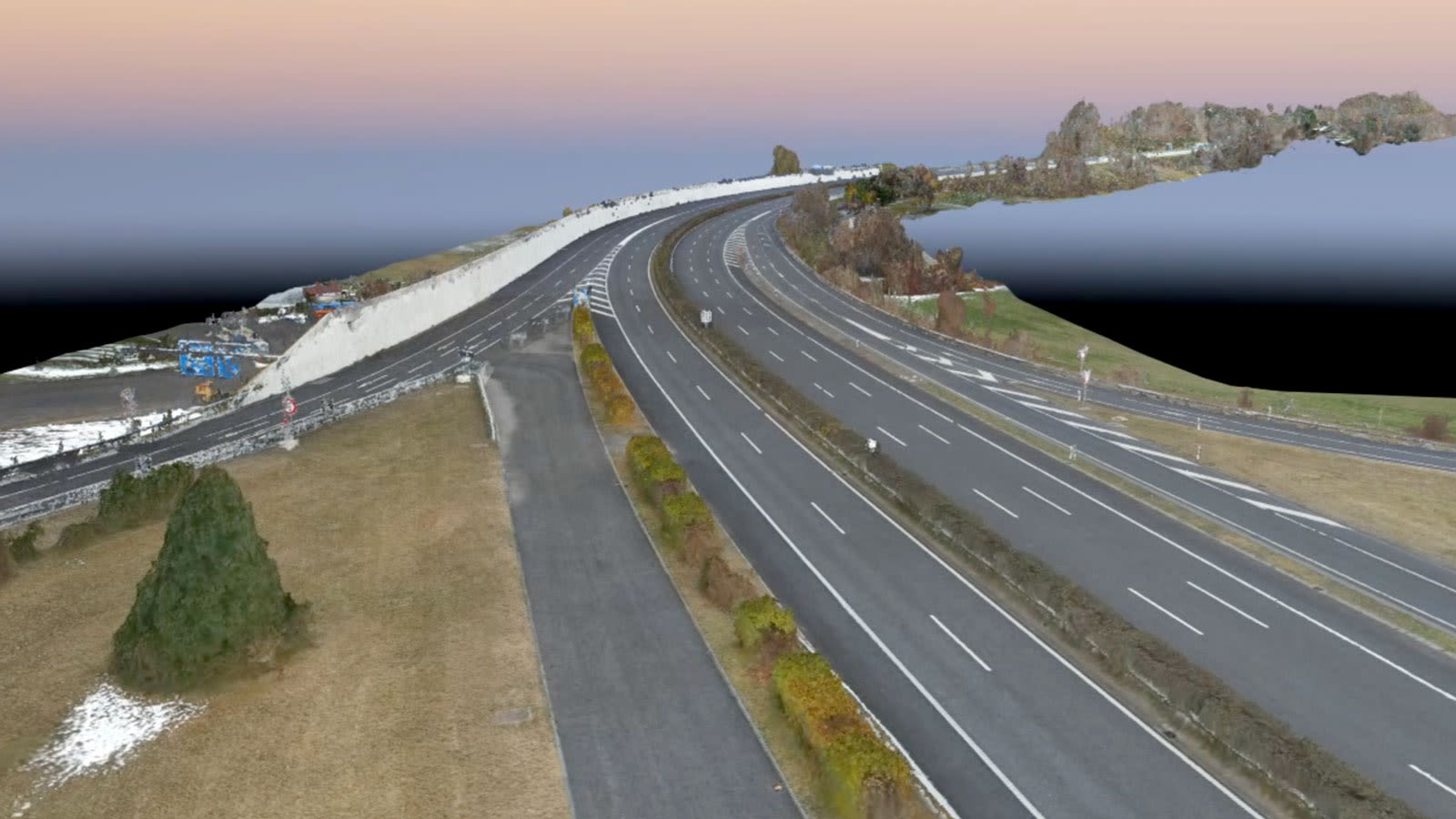
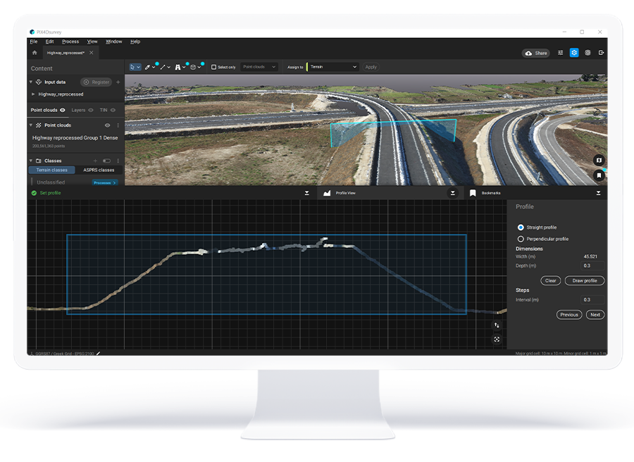
Using drones to survey a motorway without stopping traffic
A motorway in Switzerland needed to be inspected - but it was on a viaduct in the mountains. Discover how aerial drone maps helped.