Professor
Single-seat license with all commercial software features
*Proof of enrollment will be verified


Cutting-edge photogrammetry solution for terrestrial and aerial mapping and analysis
Educational terms and conditions apply
PricingHybrid drone and satellite mapping software for aerial crop analysis and precision agriculture
Educational terms and conditions apply
PricingThe online platform for ground and drone mapping, visualization, and sharing
Educational terms and conditions apply
PricingMultipurpose photogrammetry solution for instructors and researchers
Educational terms and conditions apply
PricingAccurate 2D maps from aerial imagery for reliable situational awareness, processed in minutes
Educational terms and conditions apply
PricingSingle-seat license with all commercial software features
*Proof of enrollment will be verified
25-seat license designed for classroom instruction with all commercial software features
*Proof of enrollment will be verified
Single-seat short-term license designed for student learning
*Proof of enrollment will be verified
FREE Course material

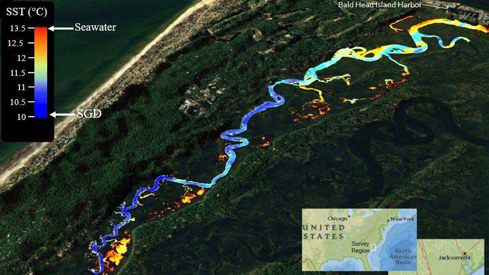
Learn how the the University of North Carolina in Wilmington addressed the ambiguity associated with groundwater discharge sources using drones and thermal mapping and won the award.

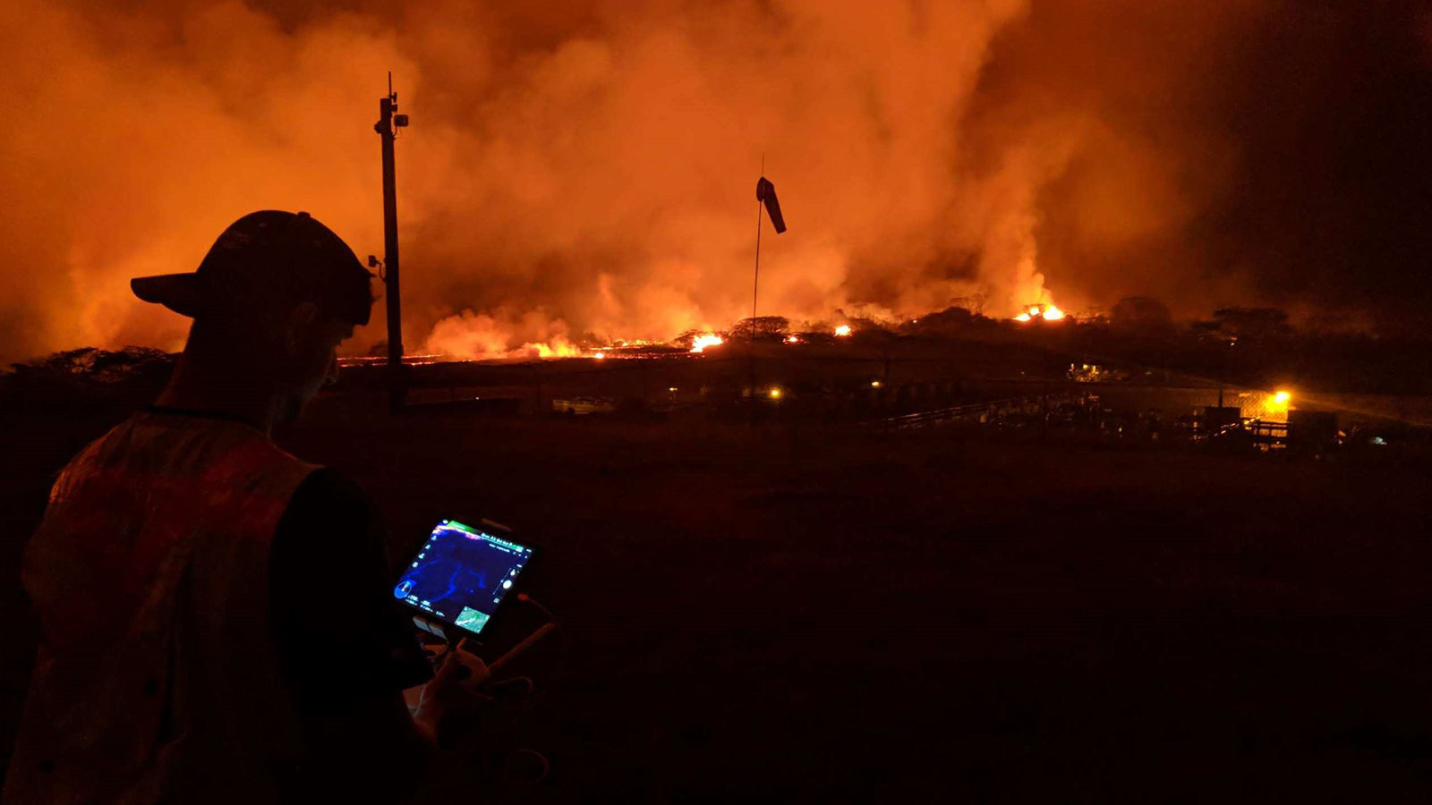
Learn how Dr Ryan Perroy from the University of Hawaii at Hilo and his team of students and staff used drones to map the lava flow and help mitigate the effects of the disaster.

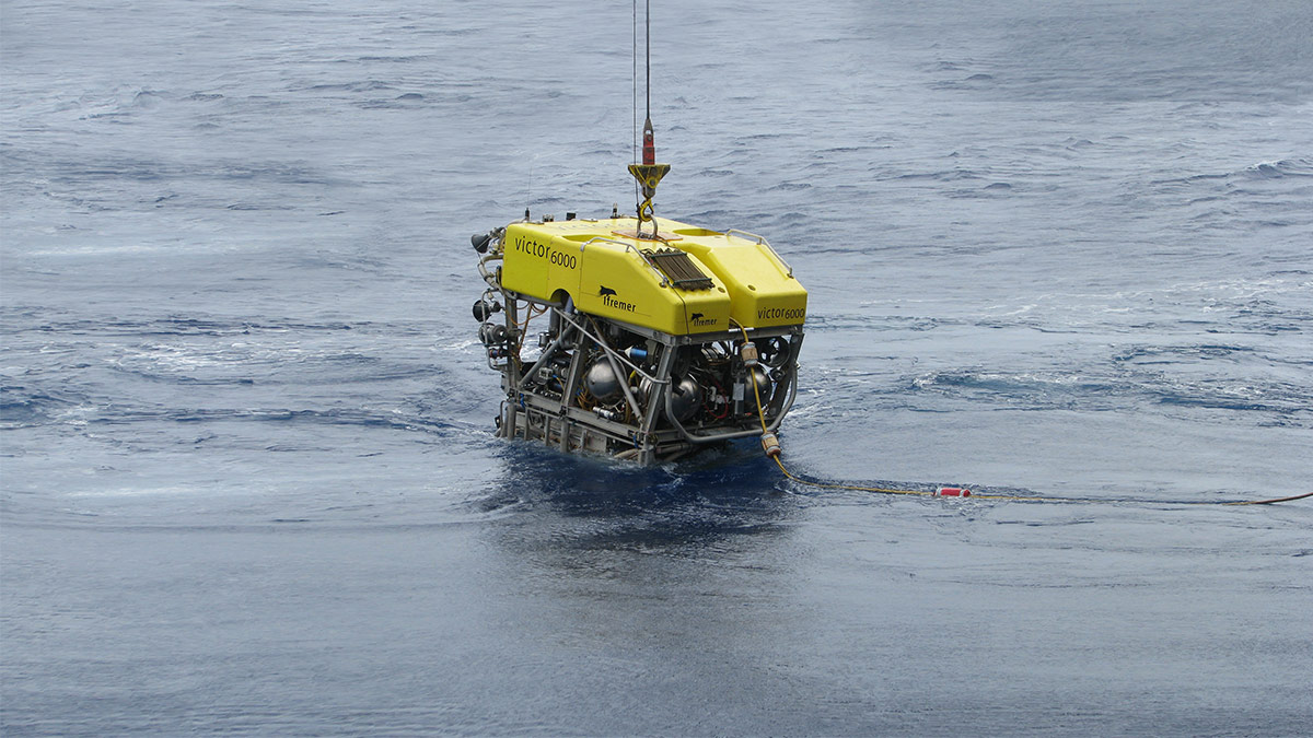
The seabed is one of the last places on earth which is relatively untouched by humans. Learn how a team from the Senckenberg Institute created a 3D model from video footage to study it.