Forensics and Public safety
Elevating critical analysis:
Fast, secure and accurate 3D solutions for critical missions
Contact usApplications
Fast and accurate when every second counts
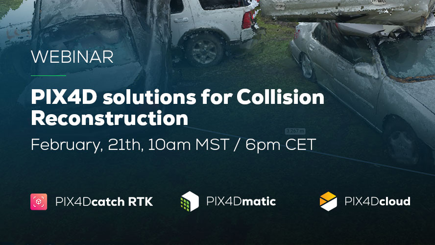
WEBINAR
Explore Pix4D’s solutions for Collision Reconstruction and Forensics
Explore capturing scenes using your phone and drone with subject matter experts. Learn how to process, merge, and utilize data, export videos for sharing in court.
Watch now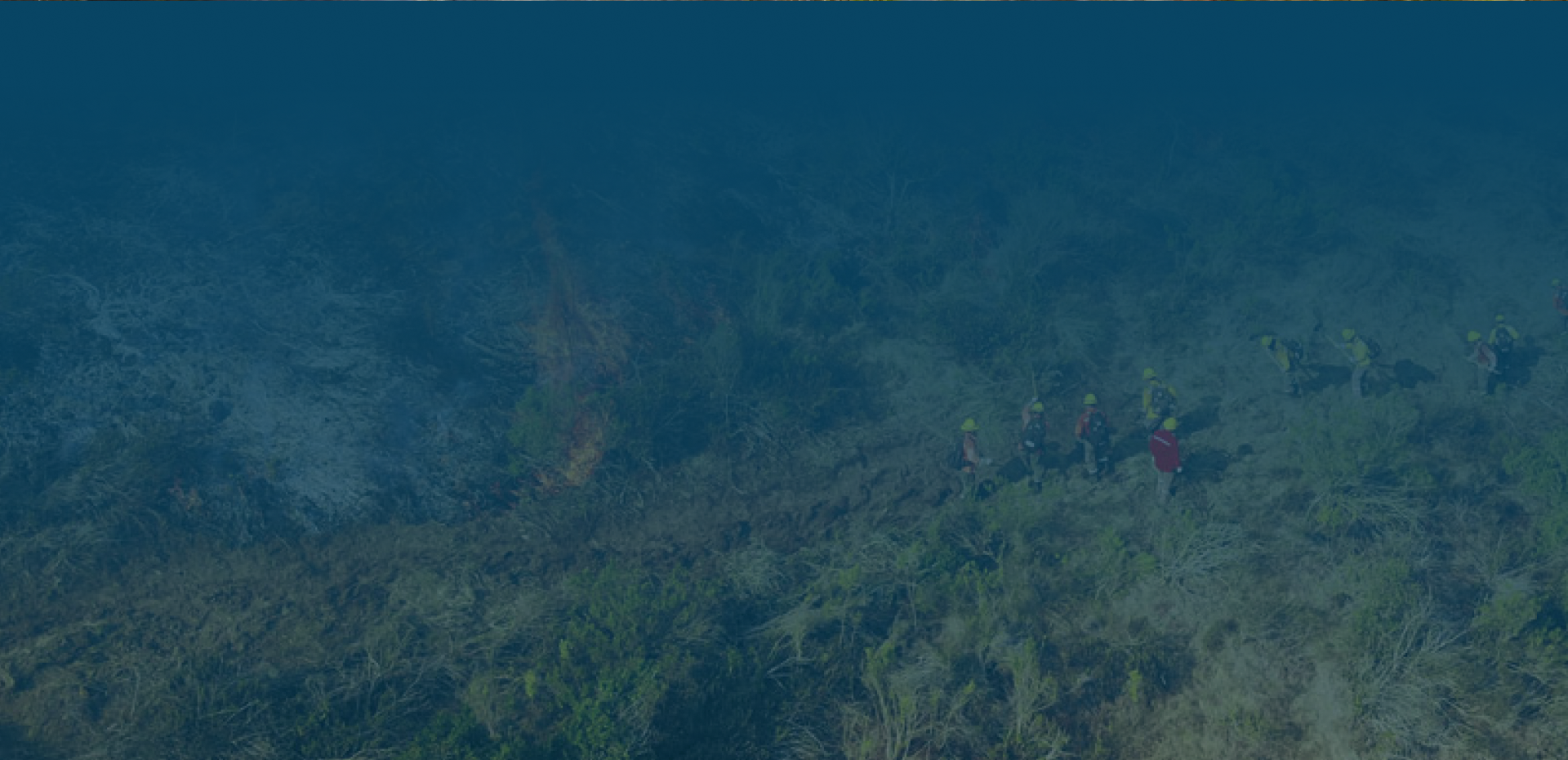

Why use photogrammetry in Forensics and Public Safety?
Fast
documentation
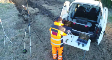
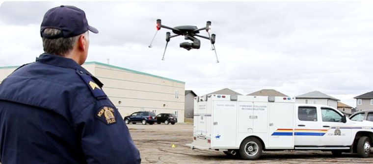
Speed up scene documentation and tactical reconnaissance operations. Drone mapping takes a fraction of the time of traditional scene documentation or terrain recognition methods.
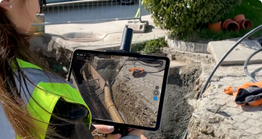
Revisit the scene in 3D
Investigators, forensic experts, insurance agents and jury members can revisit the scene at any time and from any location. Digitally record and access the full scene in detail. Secure local offline processing and online sharing.
Reliable
evidence
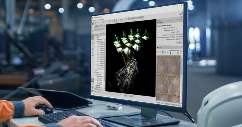
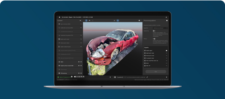
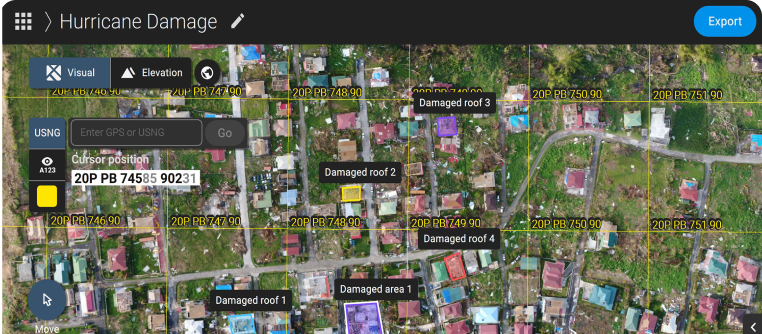
Create accurate recreations of a scene that can be used in court. Use centimeter-accurate 3D models to show the scene in court or during investigations.
Use cases about Forensics and Public Safety
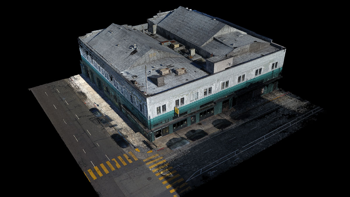
Mapping a crime: Visual Law talk forensic photogrammetry
Mark Johnson and his company Visual Law use photogrammetry to recreate crime scenes and incidents for legal investigation in extreme detail.

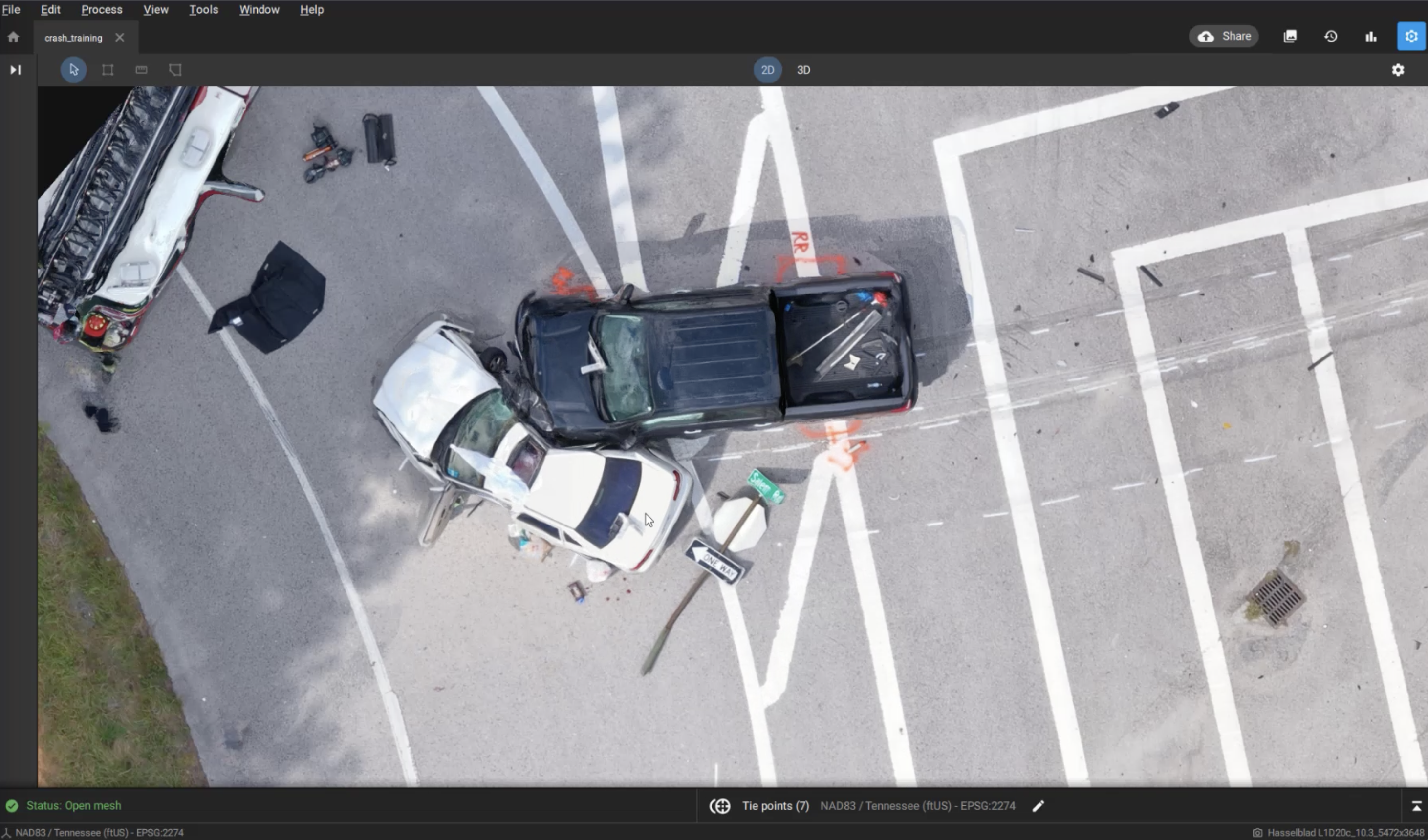
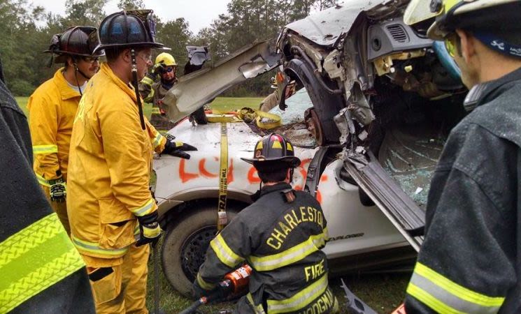
Investigating crashes 4 times faster with PIX4Dcatch RTK & PIX4Dmatic
Using drones and the PIX4Dcatch RTK, one professional is reconstructing accidents in 3D with sub-centimeter accuracy. This is how it works.
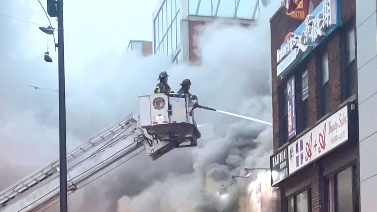
Interview: how a firefighter is using drones in US cities
Our interview with career firefighter John Wakie talks about the challenges of drones, working with them, and success with aerial mapping.