
PIX4Dreact
Mappatura rapida 2D per la risposta alle emergenze e la sicurezza pubblica

coreano, portoghese, russo, spagnolo, ucraino e cinese.

- Cattura
- Processo
- Esaminare
- Condividi
- Rispondere
Il software di mappatura per la risposta alle emergenze
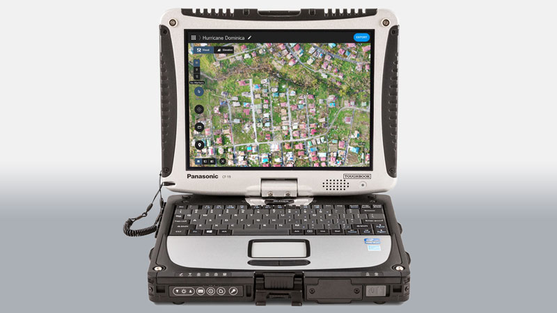
Ottenete una consapevolezza della situazione rapida e affidabile per prendere decisioni rapide e collaborare sul campo.
In una crisi, ogni secondo è importante.
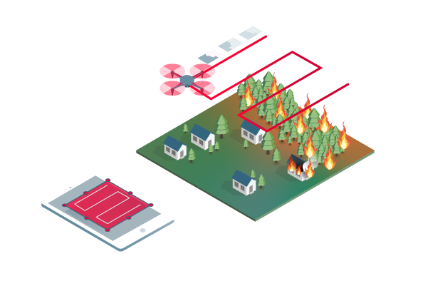
- Mappatura veloce e intuitiva
- Misurare e marcare le aree di interesse
- Confronta le mappe
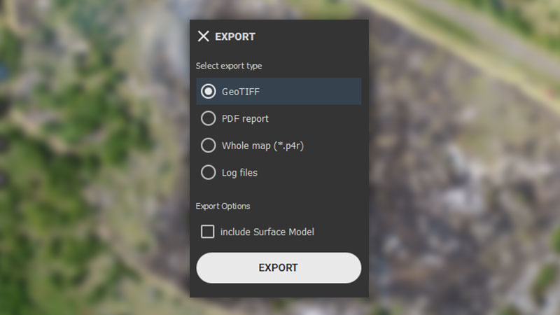
- Esportazione facile e veloce
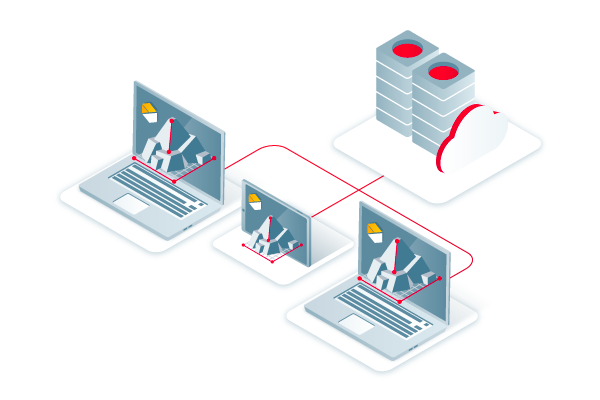
- Condividi con PIX4Dcloud
- Adatti allo scopo

[eBook] I droni nella sicurezza pubblica: il quadro generale
I droni stanno rapidamente diventando uno strumento standard per le squadre di pubblica sicurezza. Questo eBook condivide flussi di lavoro ed esempi di sicurezza pubblica e droni.
Scarica oraLa mappa di cui avete bisogno quando ne avete bisogno
Assicuratevi che i team e i responsabili delle decisioni ricevano informazioni tempestive ed efficaci per agire.
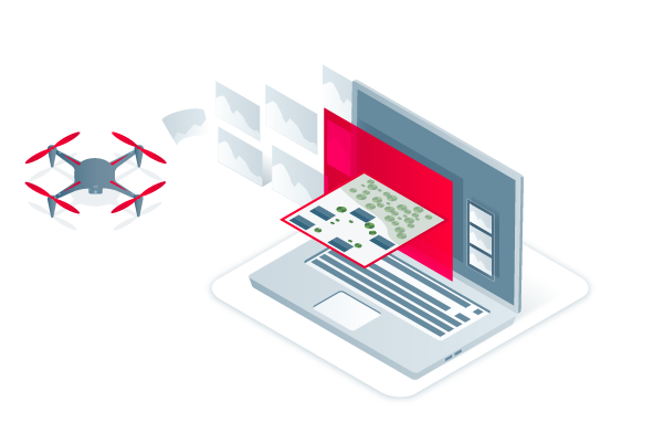
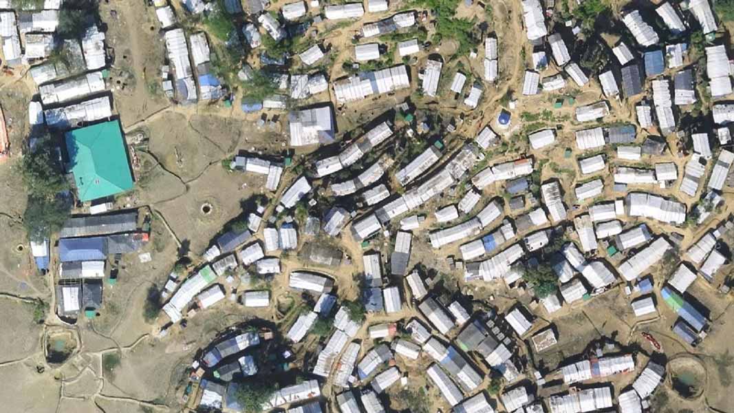
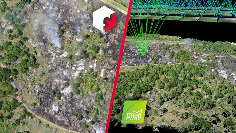
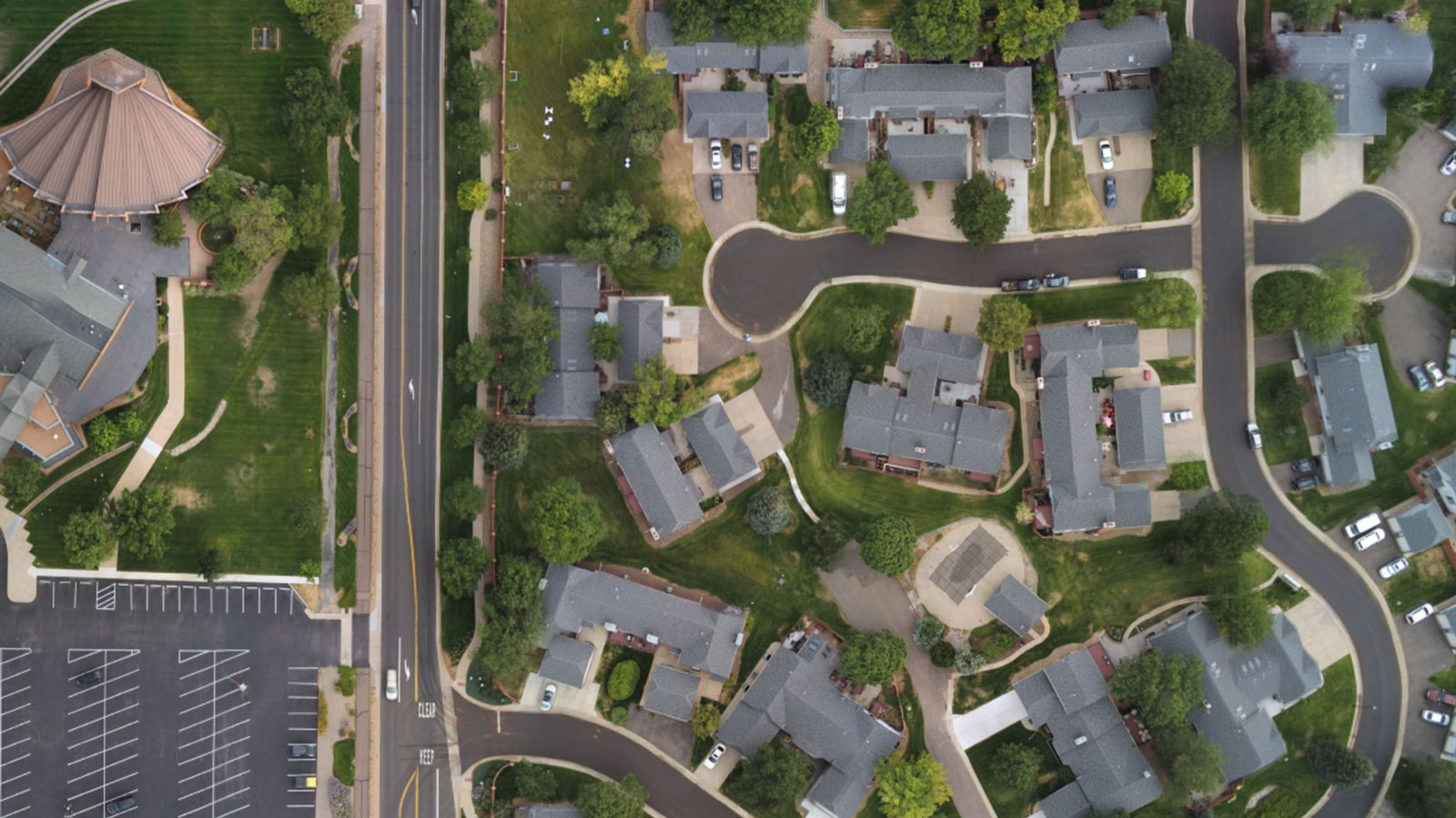
Mappa dell'ortomosaico 2D
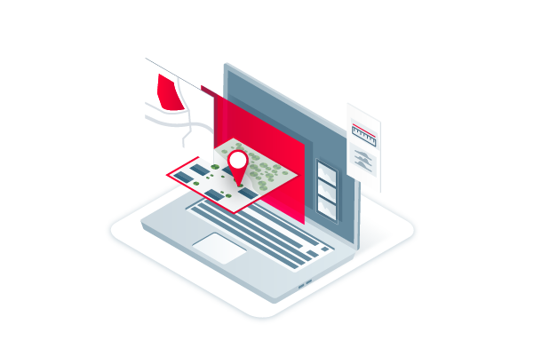
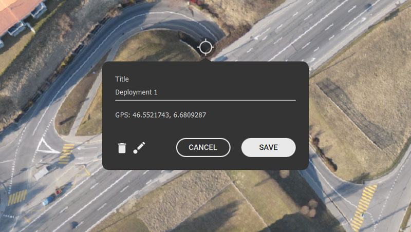
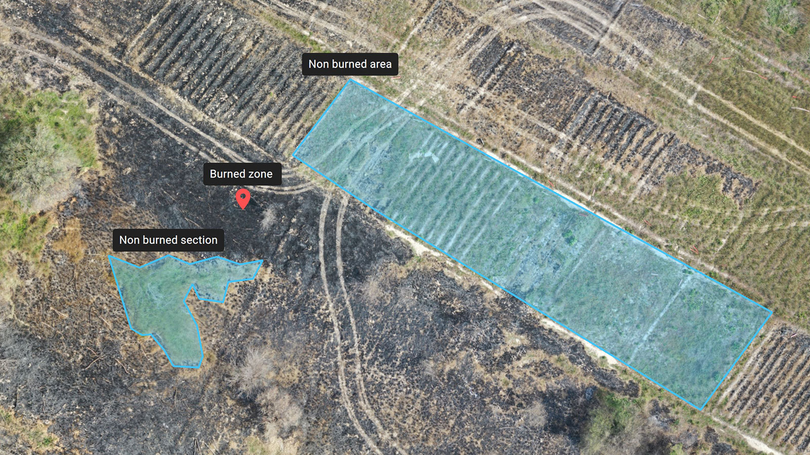
Marcatori e misure
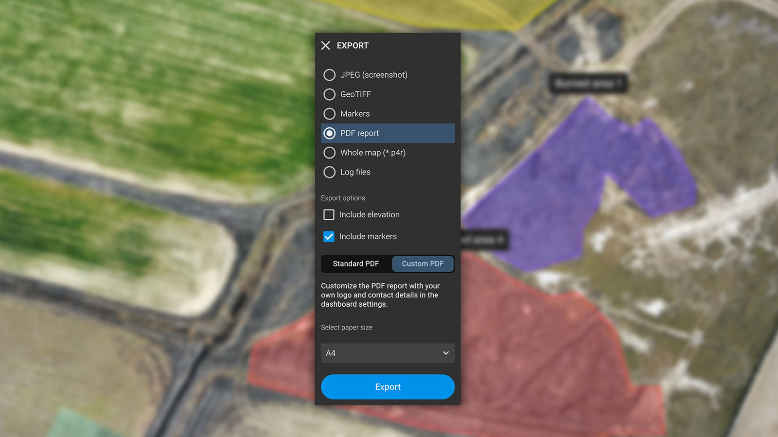
Formato di esportazione delle misure: PDF
Schermate e mappe intere
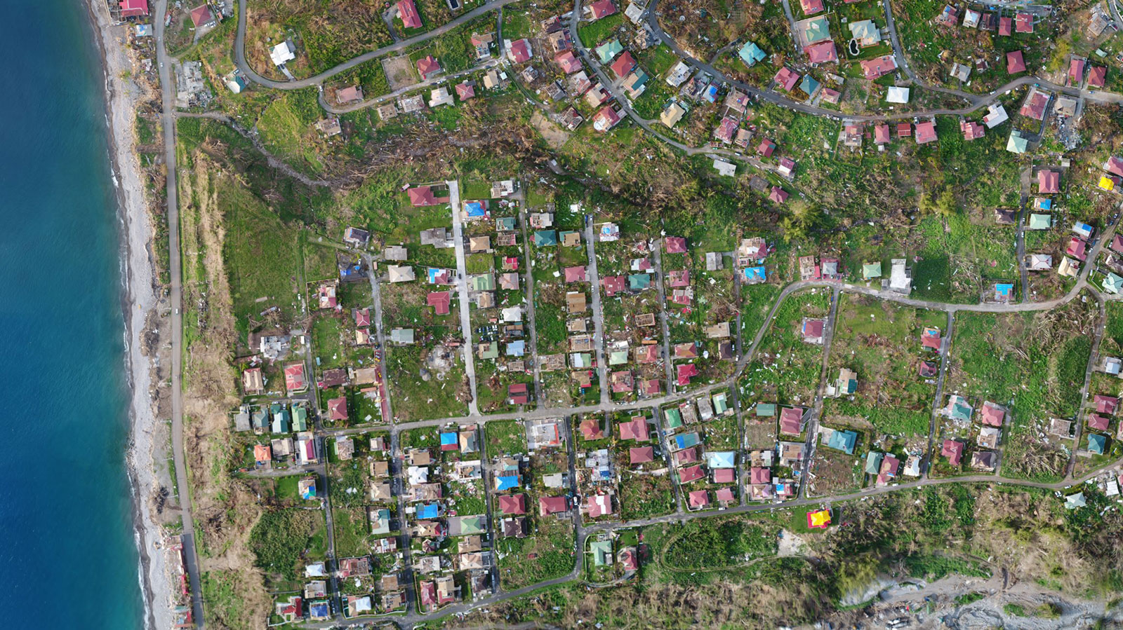
Formato di esportazione delle mappe intere: p4r
Rapporto PDF
Cosa dicono gli utenti

"PIX4Dreact diventerà probabilmente l'applicazione standard multiuso di mappatura rapida 2D e di documentazione della scena per i comuni, gli stati e le organizzazioni federali".

"PIX4Dreact è il punto di riferimento per la mappatura operativa di emergenza. Utilizzare i droni è positivo, ma migliorare le informazioni catturate da un drone utilizzando Pix4D e GIS è ancora meglio."

"PIX4Dreact può essere di grande utilità per la comunità degli aiuti umanitari che ha bisogno di una soluzione di mappatura semplice ma potente, in grado di funzionare ovunque, soprattutto dove internet non è disponibile."
Aiutare le squadre di emergenza sul campo
Sviluppato con l'aiuto dei soccorritori di emergenza, PIX4Dreact è stato progettato per essere il software di mappatura rapida 2D ottimale per i professionisti della sicurezza pubblica e degli aiuti umanitari.
Ultime notizie sulla sicurezza pubblica e la mappatura con i droni
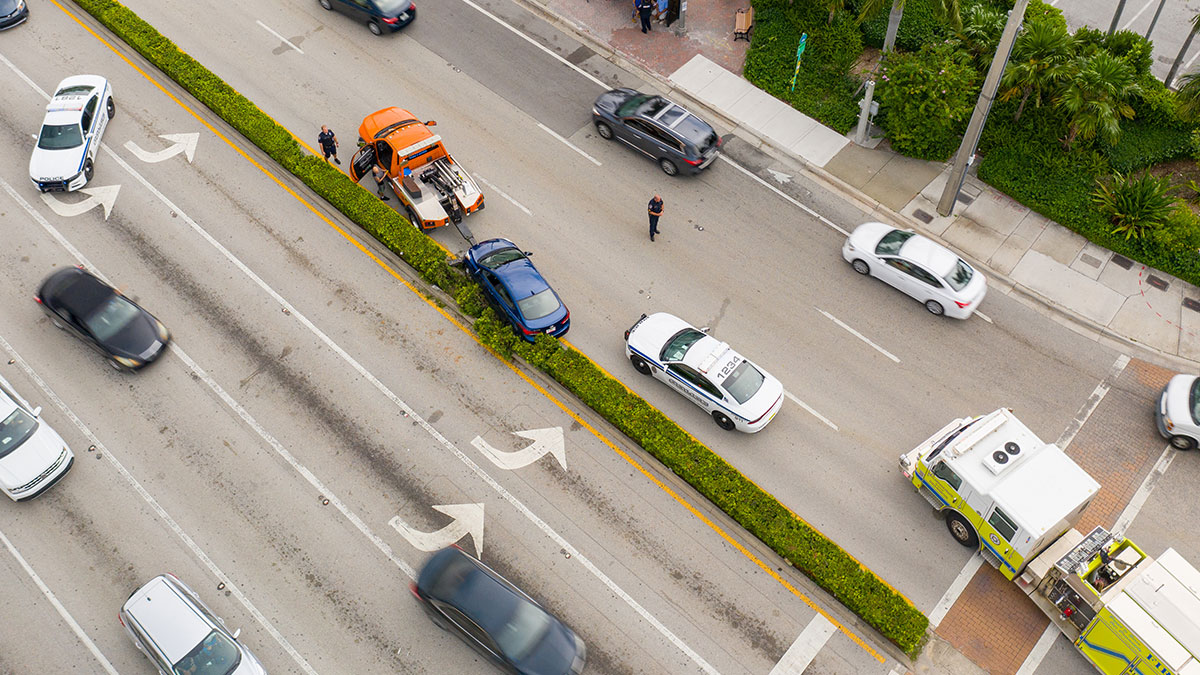
Mappatura con drone per le indagini sulla scena dell'incidente
Mappatura con drone per le indagini sulla scena dell'incidenteAerial Metrics discuss how drones and aerial mapping are used for crash reconstruction and investigation, and the most significant benefits of this technology.
PIX4Dreact 1.5: Mappe ad alta risoluzione & miglioramenti alla localizzazione
PIX4Dreact 1.5 offre istantanee ad alta risoluzione, il caricamento dei marker su PIX4Dcloud, miglioramenti nella visualizzazione delle località e altro ancora.
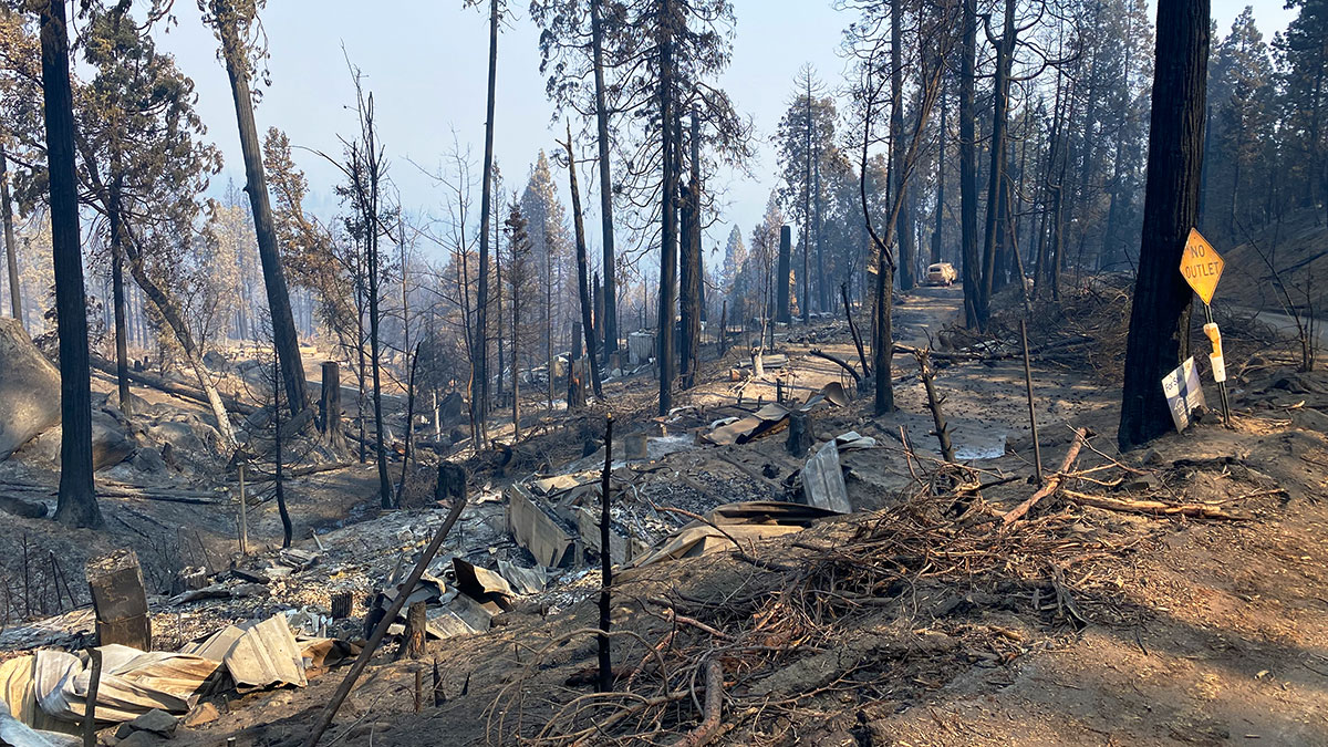
Come la mappatura con i droni aiuta il recupero e la pianificazione dopo gli incendi
Il recupero dopo un incendio può essere scoraggiante. Scoprite come i droni e PIX4Dreact aiutano i soccorritori a risparmiare tempo e a prepararsi meglio per gli incendi futuri.
Start teaching with Pix4Dreact
We are offering to educational institutions and training centers the chance to try the technology in their classes.
Apply for a free licencethe version for the rest of the countries
The map you need when you need it
Ensure teams and decision makers are provided with timely and effective information needed to take action
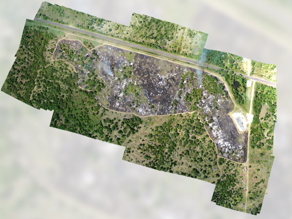
2D orthomosaic map
Pix4Dreact uses fast-stitching technology to create accurate 2D orthomosaic maps by combining a large number of nadir drone images.
Export format: geoTIFF
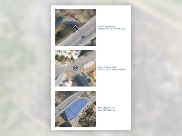
Markers and measurements
Mark areas of interest or GPS coordinates within the project and measure the situation on the ground for smoother collaboration or long-term documentation.
Export format: .pdf
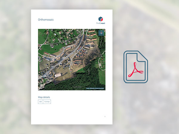
PDF Report
Easily share a 2D orthomosaic, location data and markers in one file over email.
Export format: .pdf


