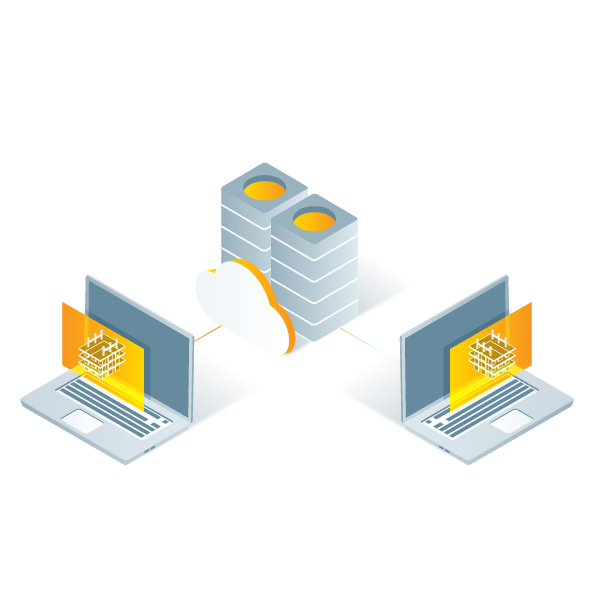
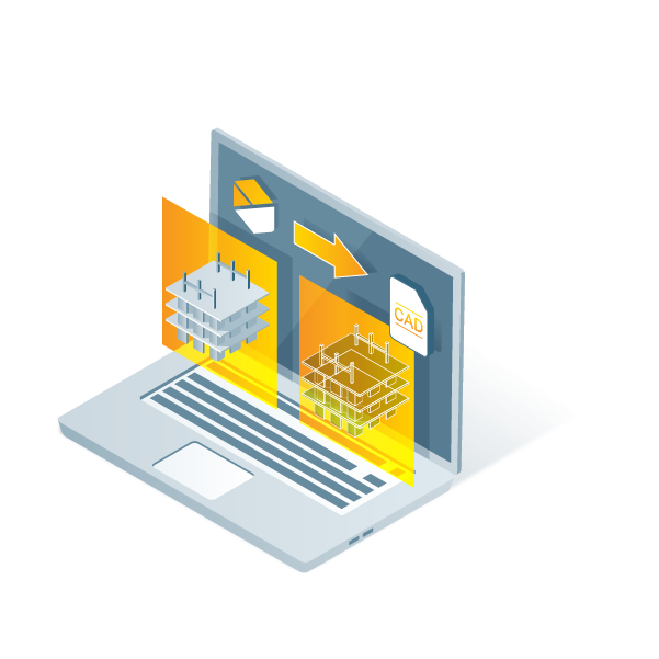
チーム全員にアクセス権を与えましょう。Pix4Dcloud は組織ごとに無制限のユーザーをサポートしています。
ガウススプラッティングは、3Dモデルの視覚化を劇的に改善し、より完全な点群を生成する高度な処理技術です。
Start a free trial and experience how easy it's to map, measure, and track your site with PIX4Dcloud
Do you want to learn how to use PIX4Dcloud? Check out our Getting Started Guide
Process your data in the cloud
All you need is an iPhone and PIX4Dcatch. Scan spaces with LiDAR and turn them into measurable 3D models with PIX4Dcloud.
Scan trenches, rooms, or facades using PIX4Dcatch, and see your 3D results in PIX4Dcloud – with no technical setup.
Learn morePIX4Dcloud supports aerial imagery from any drone. Upload your photos and get photogrammetric outputs – all processed online.
PIX4Dcloud supports aerial imagery from any drone. Upload your photos and get photogrammetric outputs – all processed online.
Learn more