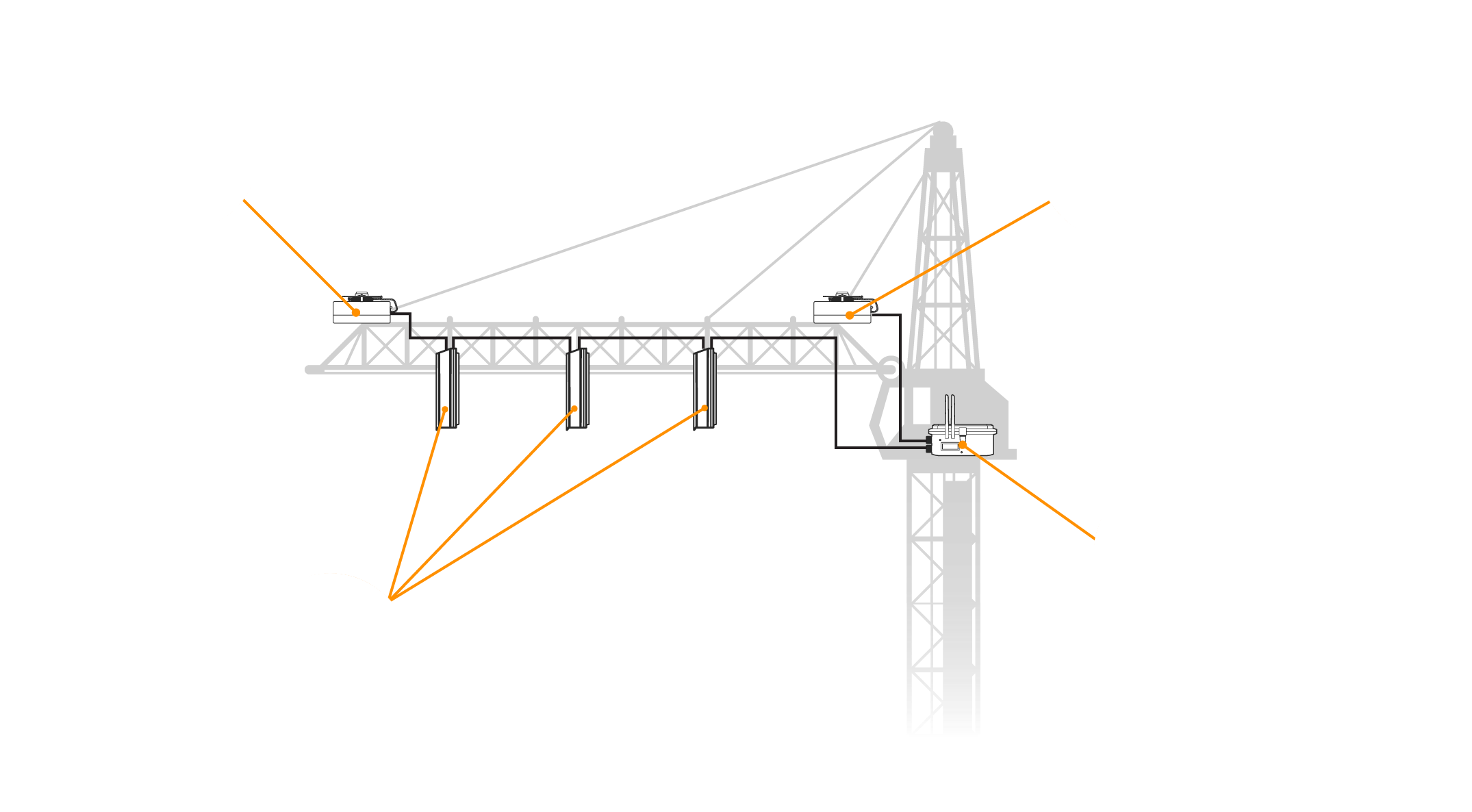
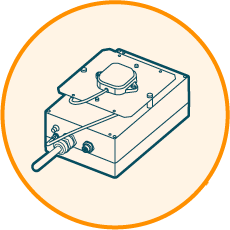
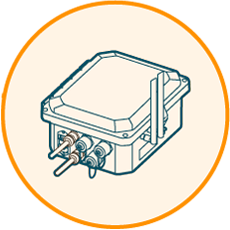
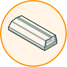
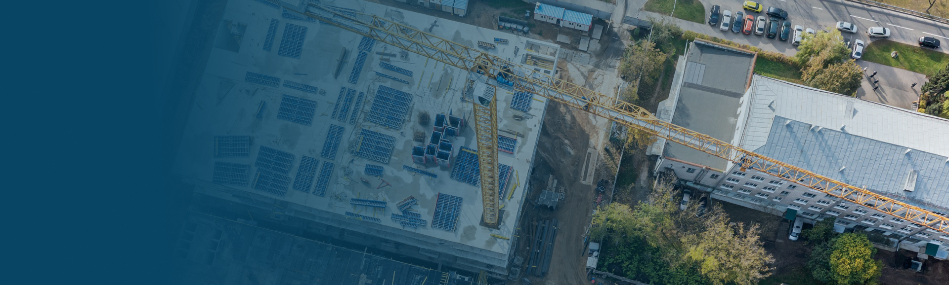
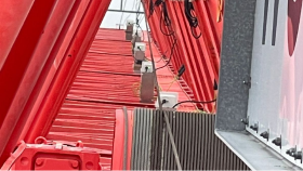
AdobeStock 447408295 Preview 1

CraneCamera monitoring construction projects

CraneCamera

2D and 3D measurable as-built data delivered automatically every day to keep your project on-design, on-time and on-budget


Contact us
Rectangle 1
Hummingbird Tech platform

Site progress monitoring

Check the progress of your site remotely with daily 2D and 3D as-built updates

Learn more >
Hummingbird Tech platform

Daily as-built verification

Overlay your CAD drawings and BIM models onto the 2D and 3D renderings to compare the as-built with the as-designed

Learn more >
Hummingbird Tech platform

Operational planning

Get full jobsite awareness in an instant to better plan site operations and optimize logistics

Learn more >
Hummingbird Tech platform

Quality control

Verify and measure critical structural elements before and after pouring concrete to check quality and accuracy of installation

Learn more >
Hummingbird Tech platform

Jobsite documentation

Get a permanent daily record of your project with valuable information in case of build errors or deviations

Learn more >
Hummingbird Tech platform

Reporting and communication

Access your project data at any time to communicate and report site status with teams in the field and subcontractors

Learn more >

What is the CraneCamera solution?

The CraneCamera solution is an innovative reality capture solution that delivers daily as-built data to track, verify, and document construction progress.

With a unique combination of hardware and software, the CraneCamera delivers highly accurate drone-like data daily without any human intervention. It is ideal for urban construction settings where drones are impossible to fly.

Rectangle 37
Measurable data
Measurable data
Accurate 2D and 3D models for as-built verification and quality control
Up-to-date data
Up-to-date data

Daily automated data for operations planning and progress monitoring
Streamlined communication
Data accessible to all project stakeholders for coordination and reporting

How does the CraneCamera work?

BACK GENERIC WORKFLOW
  • Installation of the Crane camera
    Installation
  • Data capture with the Crane camera
    Capture
  • Processing data with the Crane camera
    Processing
  • Viewing
    Viewing
Crane camera installation
Installation

  • System mounted on tower crane with a Brain Unit installed in the cabin and Imaging and Geolocation units along the jib

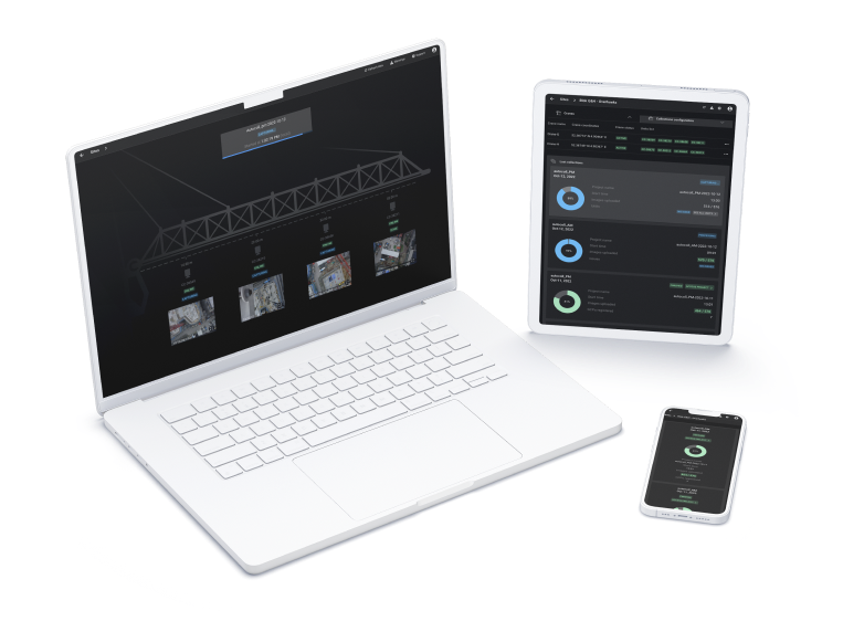
  • Powered from the crane cabin

  • Wired ethernet connection with a 4G router

  • Weatherproofed and designed to resist crane vibrations

Scout crop with drones to detect how different areas of crop field are growing using PIX4Dfields agriculture mapping software
Capture

  • Images collected automatically during normal crane operations

  • 1 or 2 automated scans per day

  • Possible on-demand collections to get faster results or focused on a specific area of interest

  • No human intervention, no site disruption. Collection time and frequency are set up remotely

  • Fleet management and collection monitoring via the user app

Processing data with the Crane camera
Processing

  • Automatic image transfer to PIX4Dcloud Advanced

  • Starts automatically when the collection is finished

  • Notifications when results are available

Viewing
Viewing

  • Outputs available on PIX4Dcloud Advanced, ready to be visualized, measured, annotated, and compared with CAD drawings

How is the solution installed on the crane?

The CraneCamera is a modular system. It is weatherproof and designed to withstand crane vibrations so that crane movements do not affect the system accuracy or the quality of the images captured. Equipped with RTK GPS and IMU sensors, the system can be configured to collect site images every day automatically or on demand.

Geolocation Unit Rover
Geolocation Units
The system includes two Geolocation Units; the Base and the Rover, which are installed at the base and at the tip of the jib respectively. Both Geolocation Units integrate a custom RTK module and send differential GNSS data to the Brain Unit.
Geolocation Unit Base
Geolocation Units
The system includes two Geolocation Units; the Base and the Rover, which are installed at the base and at the tip of the jib respectively. Both Geolocation Units integrate a custom RTK module and send differential GNSS data to the Brain Unit.
Brain Unit
Brain Unit
A Brain Unit is installed in the cabin of the crane. This central processing unit communicates with the other units installed on the crane jib. When operating, the Brain Unit receives the GNSS data and images which it uses to coordinate the execution of tasks such as scheduling, picture triggering, and data upload. Hosting a 4G router with an Ethernet bypass, the Brain Unit provides internet access for the whole system.
Imaging Units
Imaging Units
Imaging Units are installed along the jib. Each Imaging Unit integrates a professional photogrammetry camera that captures site images that are then sent to the Brain Unit for processing. The number of Imaging Units and their position on the jib vary from one site to another according to the construction site settings and the crane specifications. This number is determined by a coverage analysis carried out prior to the system installation.
Rectangle 2

Who can use CraneCamera data?

Ground control point (GCP)

Project Managers

  • Monitor the project progress remotely and update overall project planning

  • Validate construction progress billing with subcontractors

  • Communicate progress to all project stakeholders (public, project owner, finance, authorities, etc.)

Ground control point (GCP)

Field Engineers and BIM/VDC Managers

  • Remotely check the project status in detail, compare the as-built to the as-designed and update the BIM model accordingly

  • Rapidly check the as-built status of hidden elements before rework or major activity

  • Use the data as an up-to-date project progress overview and visual reporting for project progressmeetings

Ground control point (GCP)

Site Managers/ superintendents

  • Check the previous day’s activities and validate or re-prioritize the operational planning

  • Optimize resources and space on site for material delivery and storage

Rectangle 44
monitor

Monitor and control your fleet from the CraneCamera user app

The CraneCamera user app is a web-based application accessible on desktop, mobile, or tablet. It provides real time information for multiple sites with simple dashboards to empower fleet management and easy monitoring for data collection.

Save time
Site management
ICON 360 Camera
System status
ICON 360 Camera
Collection configuration and monitoring
ICON 360 Camera
Warning notifications
ICON 360 Camera
System connectivity validation
ICON 360 Camera
On-demand collection

Explore a demo project

Ready to try the CraneCamera?
Keep control on your project with automated construction progress monitoring