

Automate and scale your reality capture workflows for enterprise deployment

- Capture
- Process
- Analyze
- Share
- Integrate

Professional photogrammetry on the cloud

Unlimited users
Give access to your whole team. PIX4Dcloud supports unlimited users per organization, included at no extra charge
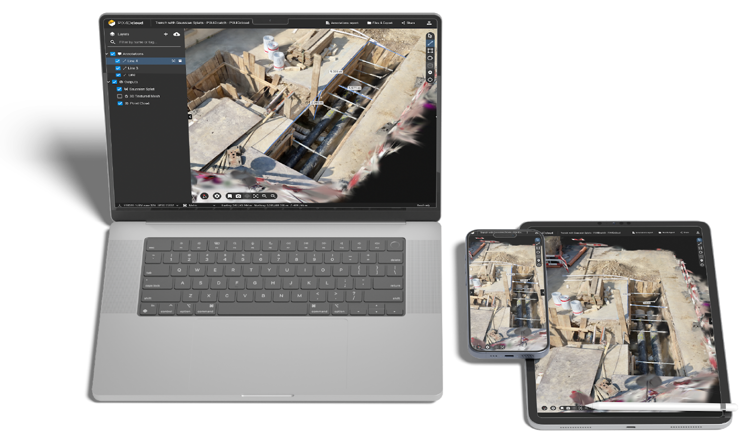
The latest technology with Gaussian Splatting
Gaussian Splatting is an advanced processing technique that dramatically improves visualization in 3D models and generates more complete point clouds.
Learn more
Map, measure, and document the progress of your site
- Timeline analysis
- Calculate and compare volumes
- Visualize your IFC files
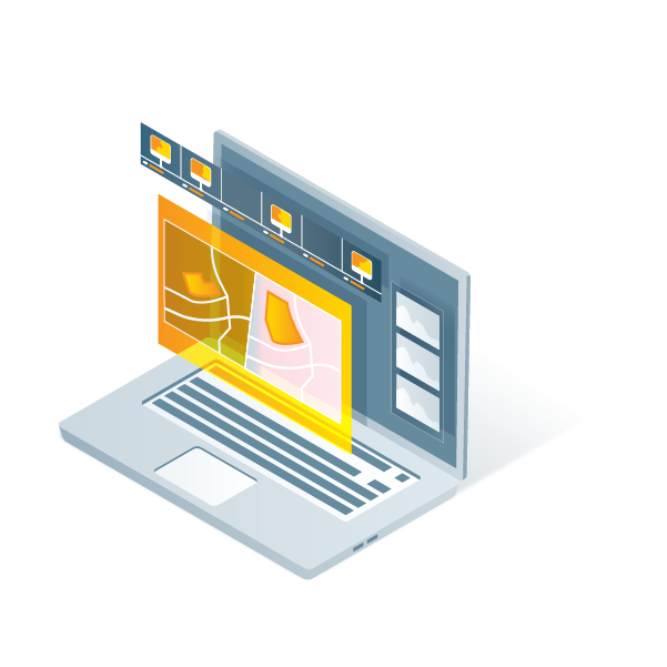
- Overlay design plans and maps
- Compare in 2D/3D over time
- Virtual inspections
- Measure, annotate and share
Monitor your projects online
Choose the right solution for your needs
- Unlimited project collaboration
- Accurate 2D maps and 3D models from images
- Measure distances, areas and volumes
- Add / import annotations
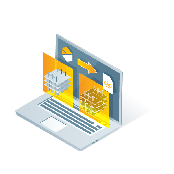
- Export annotations to CAD / GIS
- Access to PIX4Dcatch Standard
- Gaussian Splatting
- AutoGPCs supported to increase accuracy
- Track and document site progress
- Compare volumes over time
- 2D/3D Design overlay tool (DXF and IFC)
- Integration with Trimble and ESRI
- Teams access control
- API access
- Webhooks
- SSO
- Custom Integrations
- Custom Storage
- Compatible with drone docks platforms

“Nothing can compare to what Pix4D gives us. The Pix4D solutions allow us to utilize real-time imagery and data to accurately and thoughtfully provide our customers with service programs tailored to their specific site conditions and needs.”
Branch Manager - LandCare

“When surveyors deliver results in a couple of days, drone-mapping takes only a few hours. With a drone, we get the big picture of the overall site. We can quickly collect real-time data from projects to make on-the-ground decisions quicker and identify potential issues before they become costly”

“The point clouds, generated by PIX4Dcloud, can be used to quickly and easily compare the as-designed model to the as-built orthophotos.The drone data and Pix4D combination is an affordable way to monitor site progress against project schedules.”

How companies use cloud-based mapping in their daily operations
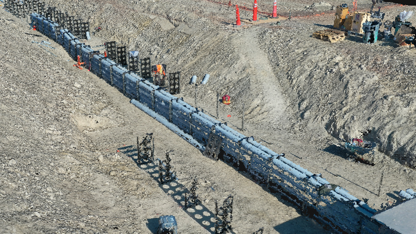
Saving the day with as-built drone data and PIX4Dcloud
Drone mapping does not only save time and money, it can also prevent major accidents. Discover how PIX4Dcloud Advanced helped prevent a gas line rupture that could have injured people.
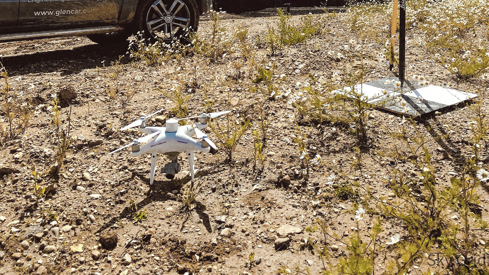
Combining drone surveying with cloud photogrammetry
It's important to monitor landfill sites, but it's also expensive. Learn how Sky Grid reduced the surveying cost and time using PIX4Dsurvey and PIX4Dcloud Advanced.
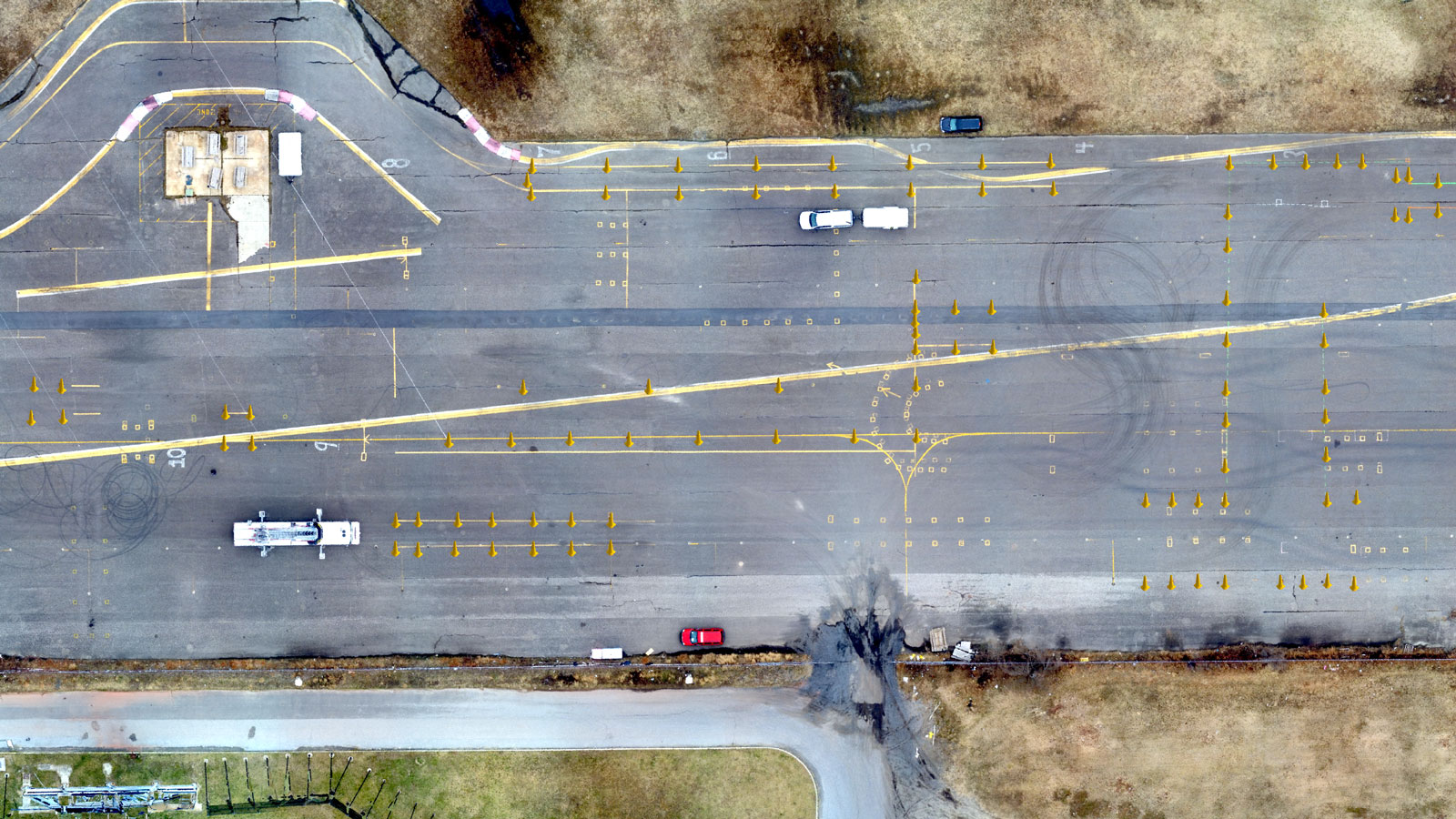
No planes? No problem. Surveying an old airfield
Learn how PIX4Dsurvey and PIX4Dcloud helped the Atlantic City Office of Emergency Management survey the entire site of Bader Field and provide actionable information.


