
PIX4Dreact
2D fast-mapping for emergency response and public safety

Korean, Portuguese, Russian, Spanish, Ukrainian and Chinese

- Capture
- Process
- Examine
- Share
- Respond
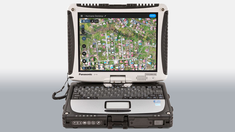
The mapping software for emergency response
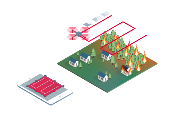
Get rapid and reliable situational awareness for quick decisions and collaboration in the field.
In a crisis, every second counts.
- Fast and intuitive mapping
- Measure and mark areas of interest
- Compare maps
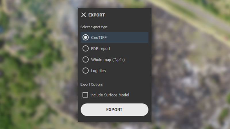
- Fast and easy export
- Share to PIX4Dcloud
- Fit for purpose

[eBook] Drones in public safety: the bigger picture
Drones are rapidly becoming a standard tool for public safety teams. This eBook shares workflows and examples for public safety and drones.
Download nowThe map you need when you need it
Ensure teams and decision makers are provided with timely and effective information needed to take action
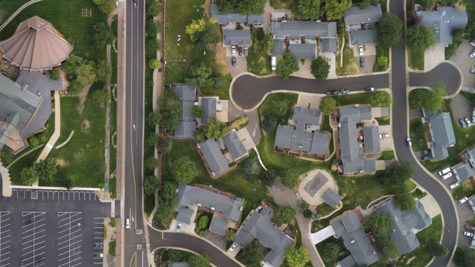
2D orthomosaic map
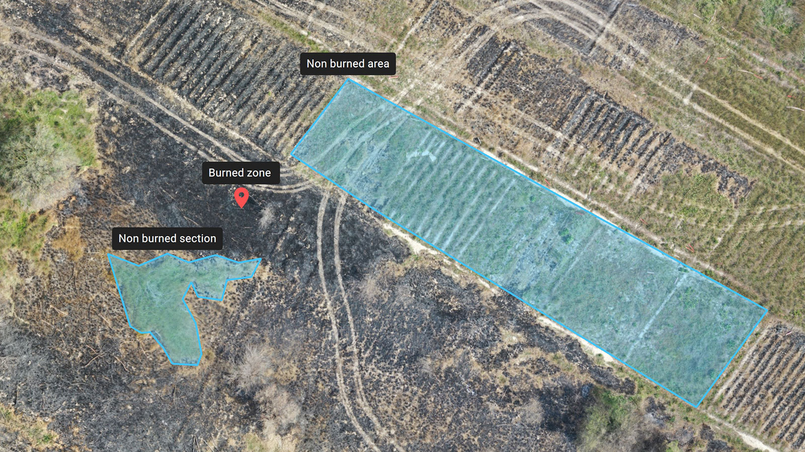
Markers and measurements
Measurements export format: PDF
Screenshots and whole maps
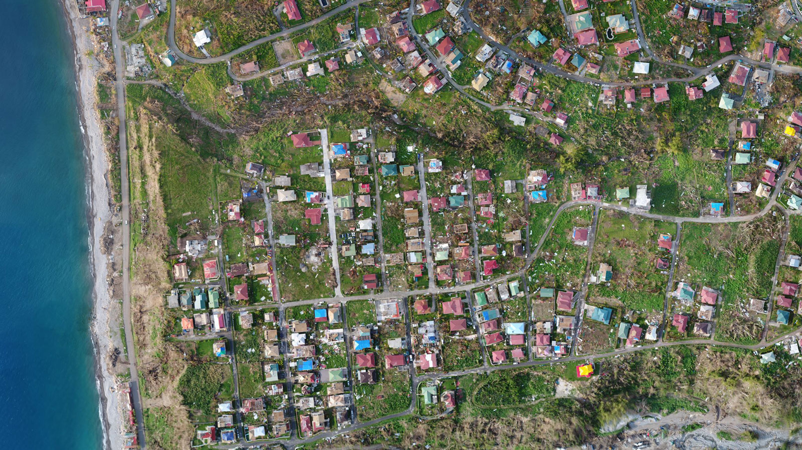
Whole maps export format: p4r
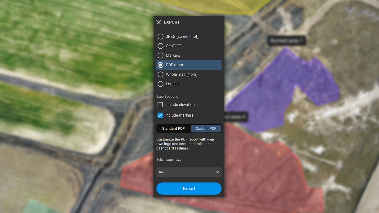
PDF Report

What users say

“PIX4Dreact will likely become the multipurpose standard 2D fast-mapping and scene documentation application for municipalities, states, and federal organizations.”

“PIX4Dreact is the benchmark for emergency operational mapping. Using drones is good, but enhancing the information captured by a drone using Pix4D and GIS is even better.”

“PIX4Dreact can be of great value to the humanitarian aid community in need of a simple yet powerful mapping solution that can work everywhere, especially where internet is not available.”
Helping emergency teams on the ground
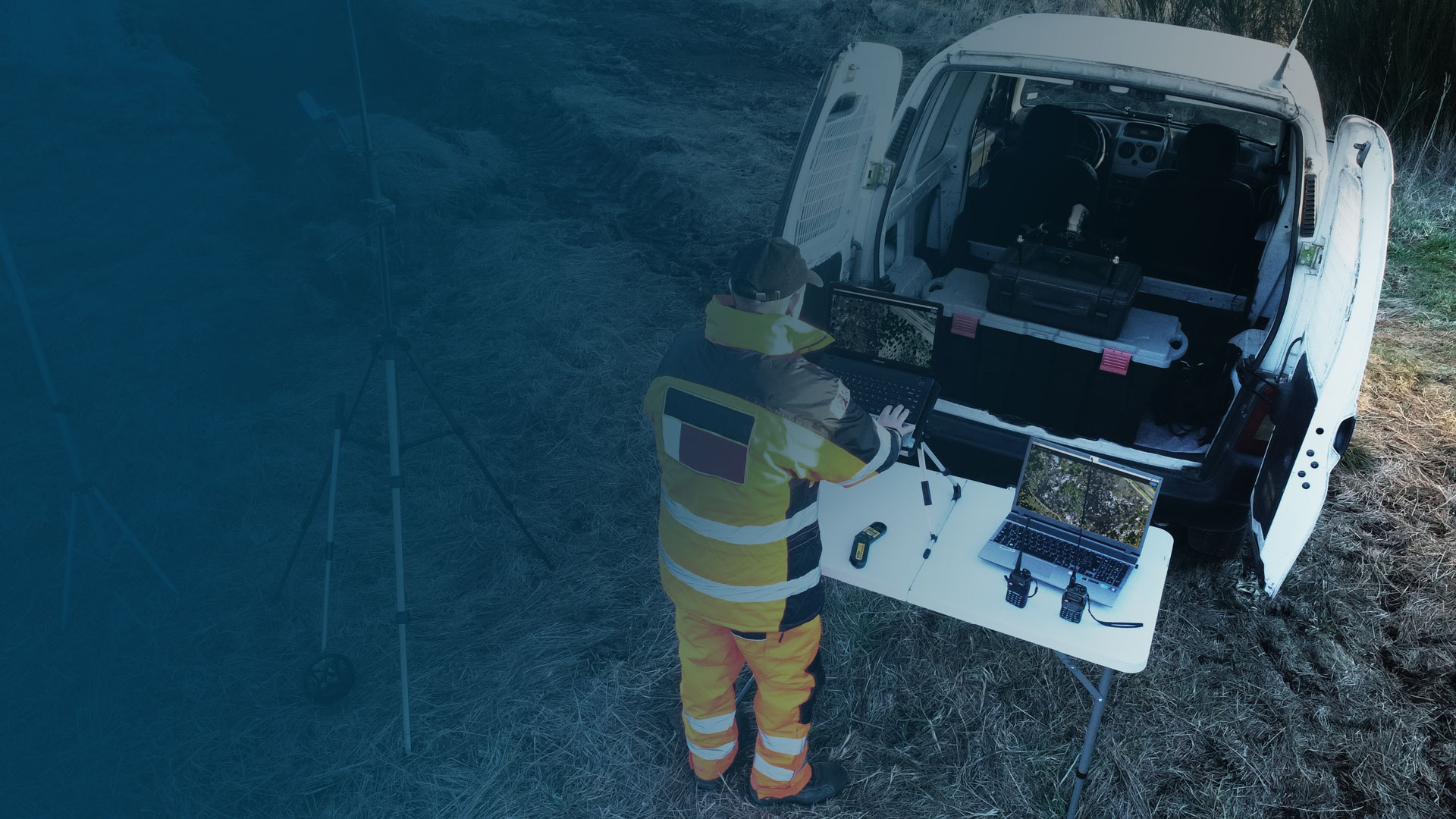
Developed with the help of emergency responders, PIX4Dreact is designed to be the optimal 2D fast mapping software for public safety and humanitarian aid professionals
Latest news about public safety and drone mapping
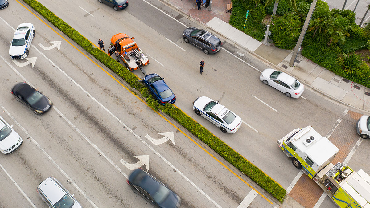
Drone mapping for crash scene investigation
Aerial Metrics discuss how drones and aerial mapping are used for crash reconstruction and investigation, and the most significant benefits of this technology.
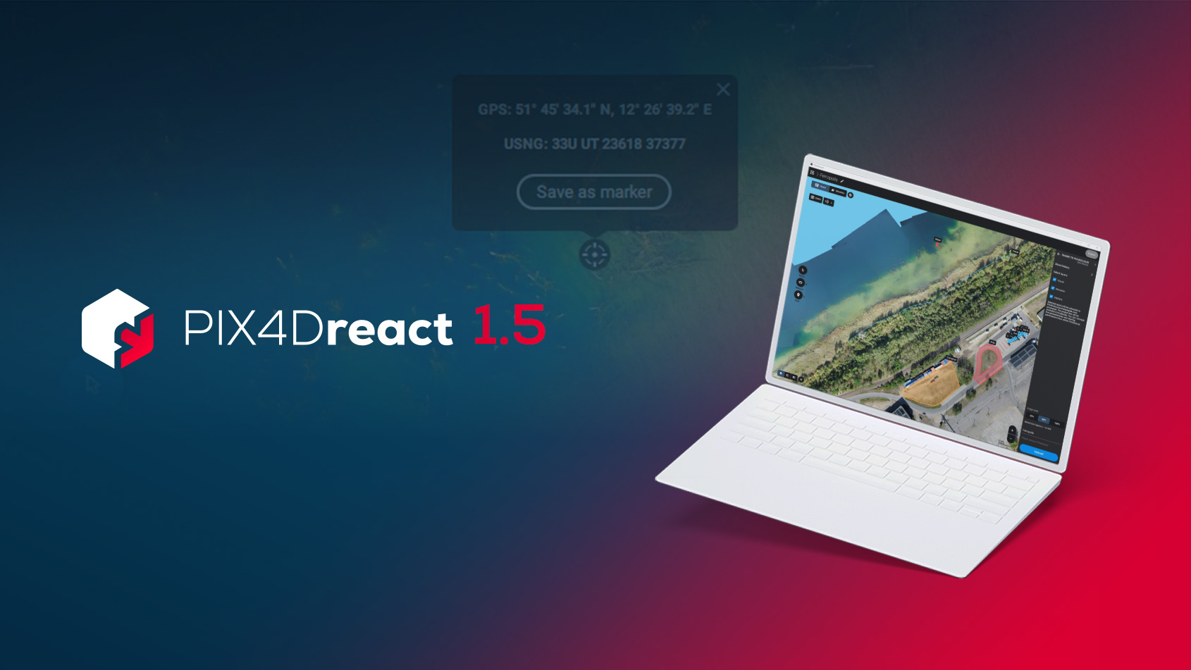
PIX4Dreact 1.5: High-resolution maps & location improvements
PIX4Dreact 1.5 brings you high-resolution snapshots, uploading markers to PIX4Dcloud, location display improvements, and more.
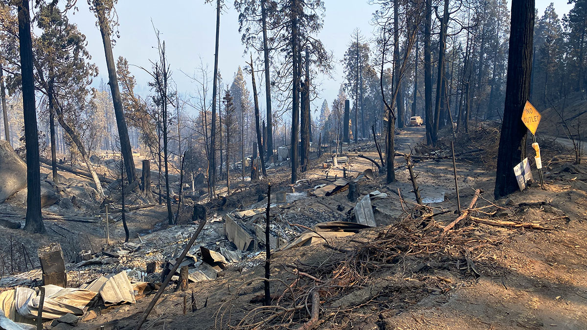
How drone mapping aides recovery and planning after fires
Recovery after a wildfire can be daunting. Learn how drones and PIX4Dreact help emergency responders save time and better prepare for future fires.
Start teaching with Pix4Dreact
We are offering to educational institutions and training centers the chance to try the technology in their classes.
Apply for a free licencethe version for the rest of the countries
The map you need when you need it
Ensure teams and decision makers are provided with timely and effective information needed to take action
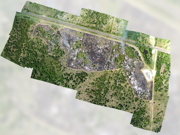
2D orthomosaic map
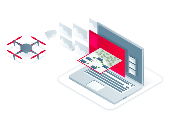
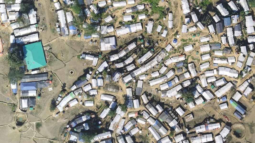
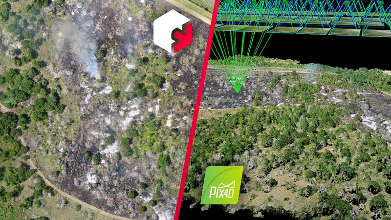
Pix4Dreact uses fast-stitching technology to create accurate 2D orthomosaic maps by combining a large number of nadir drone images.
Export format: geoTIFF
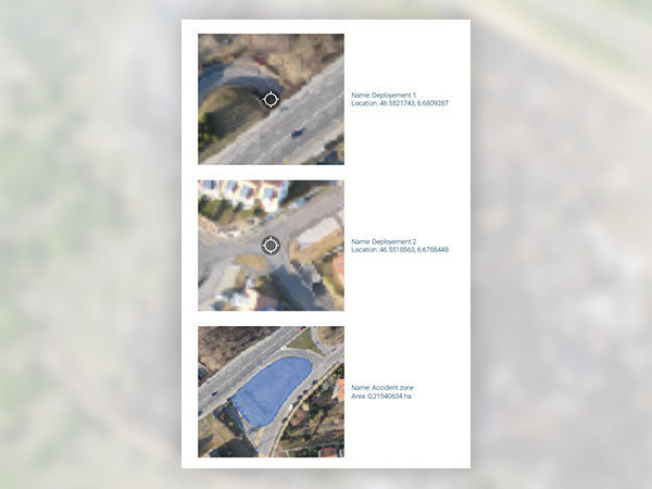
Markers and measurements
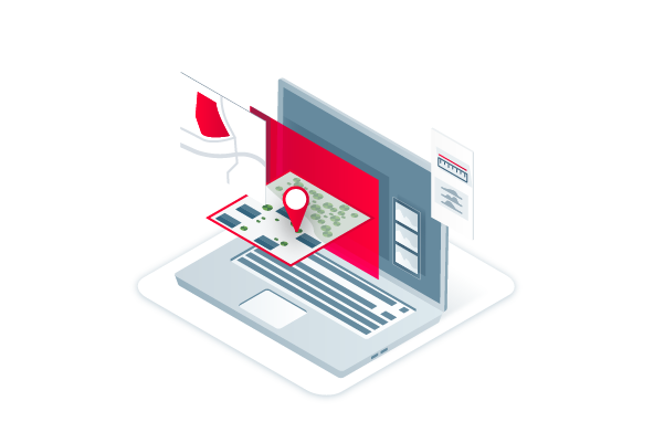
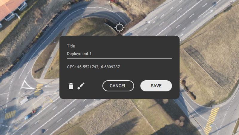
Mark areas of interest or GPS coordinates within the project and measure the situation on the ground for smoother collaboration or long-term documentation.
Export format: .pdf
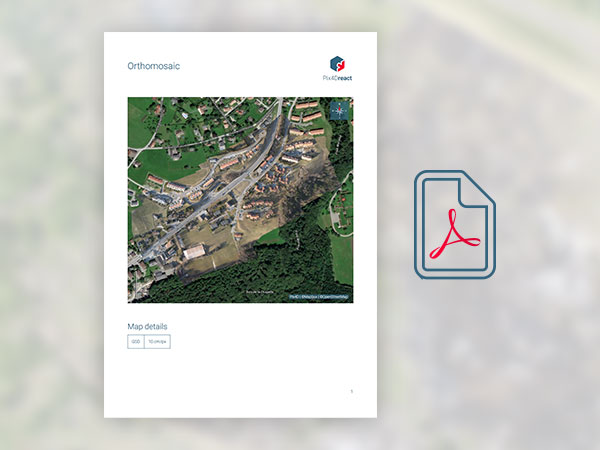
PDF Report
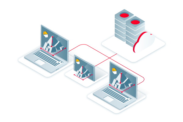
Easily share a 2D orthomosaic, location data and markers in one file over email.
Export format: .pdf


