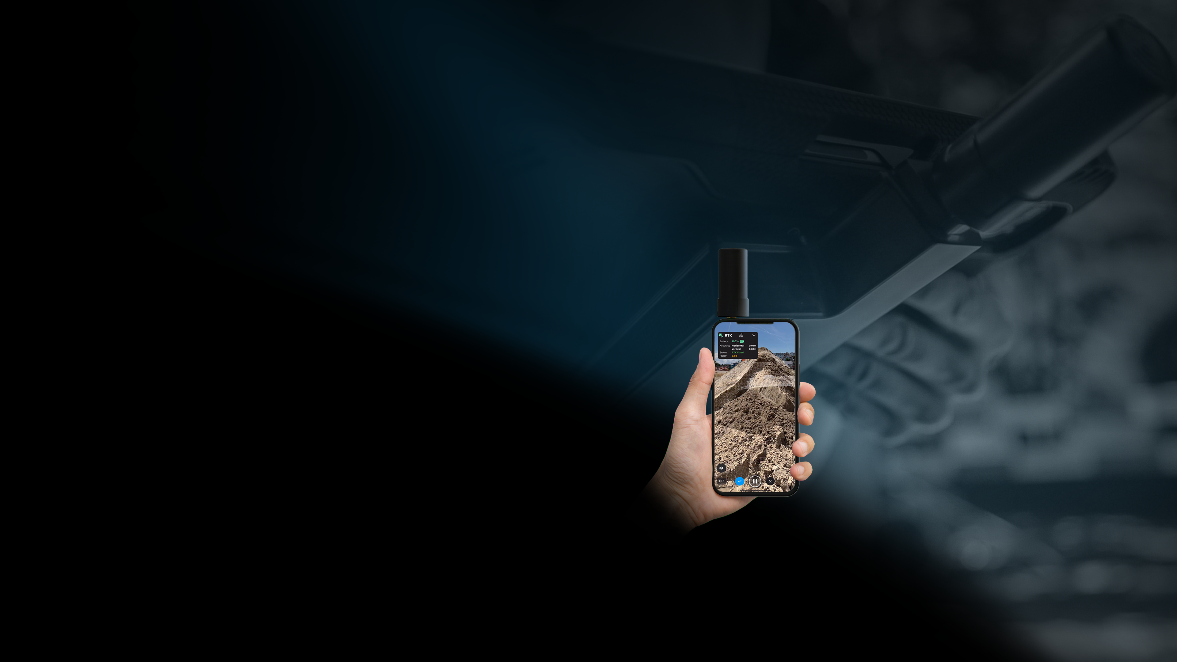
PIX4Dcatch RTK workflow
Pix4D adapted viDoc + Pix4D solutions
Terrestrial 3D scanning with RTK survey-grade accuracy

WEBINAR
Explore Pix4D’s solutions for Collision Reconstruction and Forensics
Explore capturing scenes using your phone and drone with subject matter experts. Learn how to process, merge, and utilize data, export videos for sharing in court.
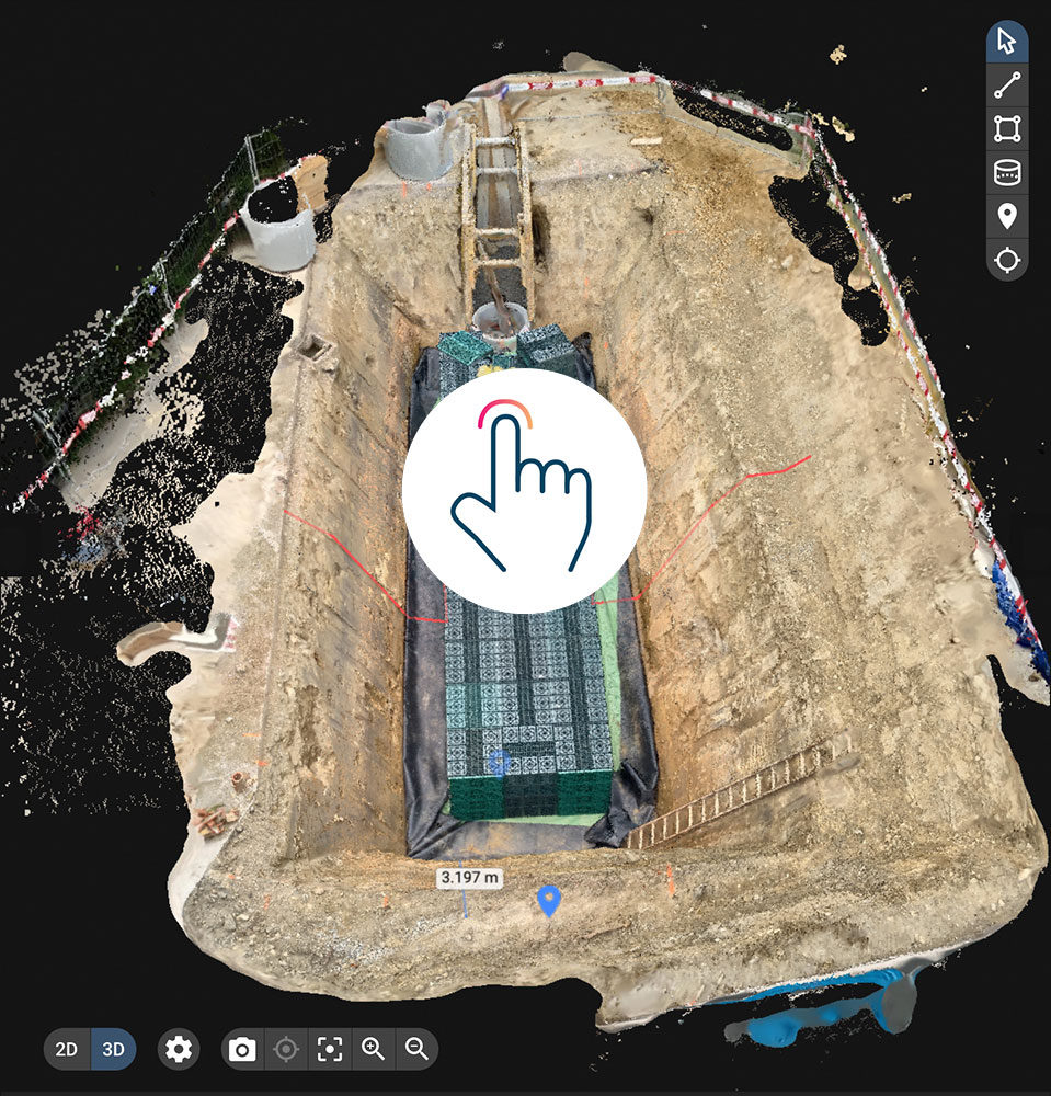
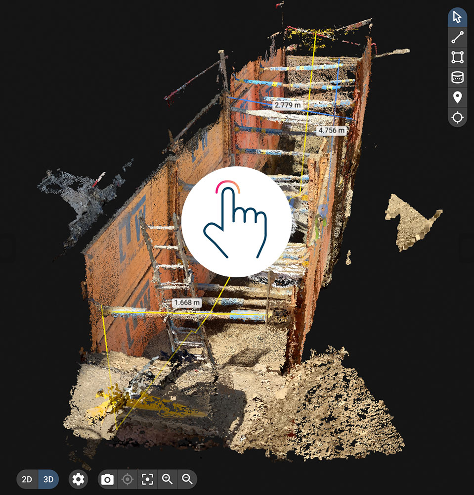
Watch nowUse PIX4Dcatch and the viDoc RTK rover to document trenches
See how you can digitize and accurately document trenches and as-builts on construction sites

Capture
Use your smartphone with the PIX4Dcatch mobile app to capture the asset. Add an RTK device to it, to improve your accuracy.


Process
Upload your images automatically to PIX4Dcloud for seamless processing OR import your images from the phone to the PIX4Dmatic desktop app, using the PIX4Dcatch processing template.
Export to CAD/BIM/GIS
Mark your assets on PIX4Dsurvey as vectors in the pointcloud and export them as DXF (for CAD) or SHP (for GIS).

Unleashing the potential of RTK:
Accurate surveying from your mobile device
See it for yourself
Request a live demo of the PIX4Dcatch RTK workflow with the Pix4D adapted viDoc solution near you. Join us on a trade-show or a specific Terrestrial Mapping workshop. Learn about this workflow, hands-on, and get all your questions answered in an on-site live session.
Book a demo day
PIX4Dcatch RTK use cases
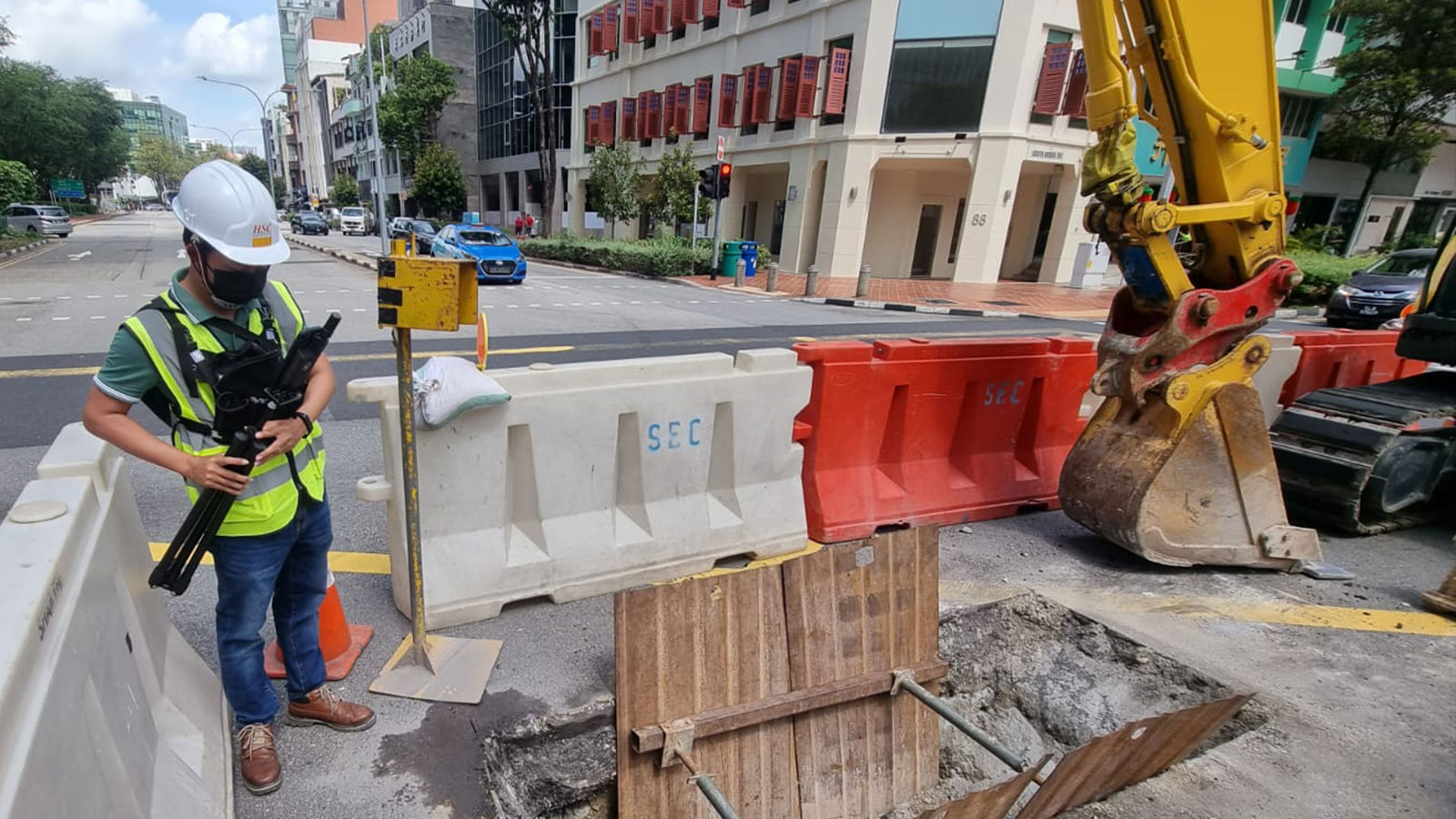
Surveying underground pipelines with PIX4Dcatch and viDoc RTK rover
The PIX4Dcatch and viDoc solution is saving time and improving construction workflows, boosting productivity for HSC Pipeline Engineering in Singapore
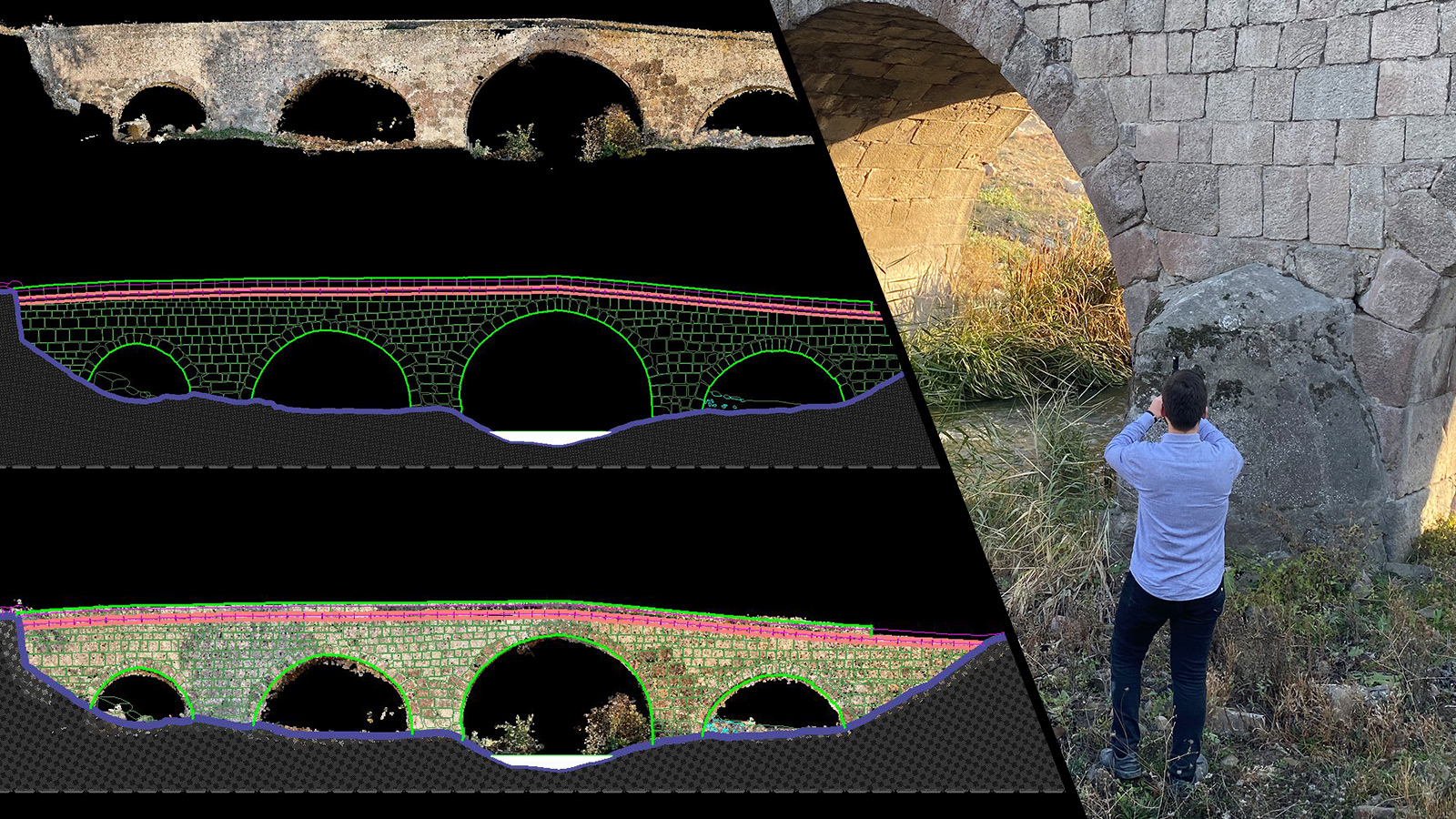
Joint LiDAR and photogrammetry workflow for 3D bridge model
Using specialized handheld hardware for site scanning with RTK accuracy helped capture, process, and vectorize a historic stone bridge.
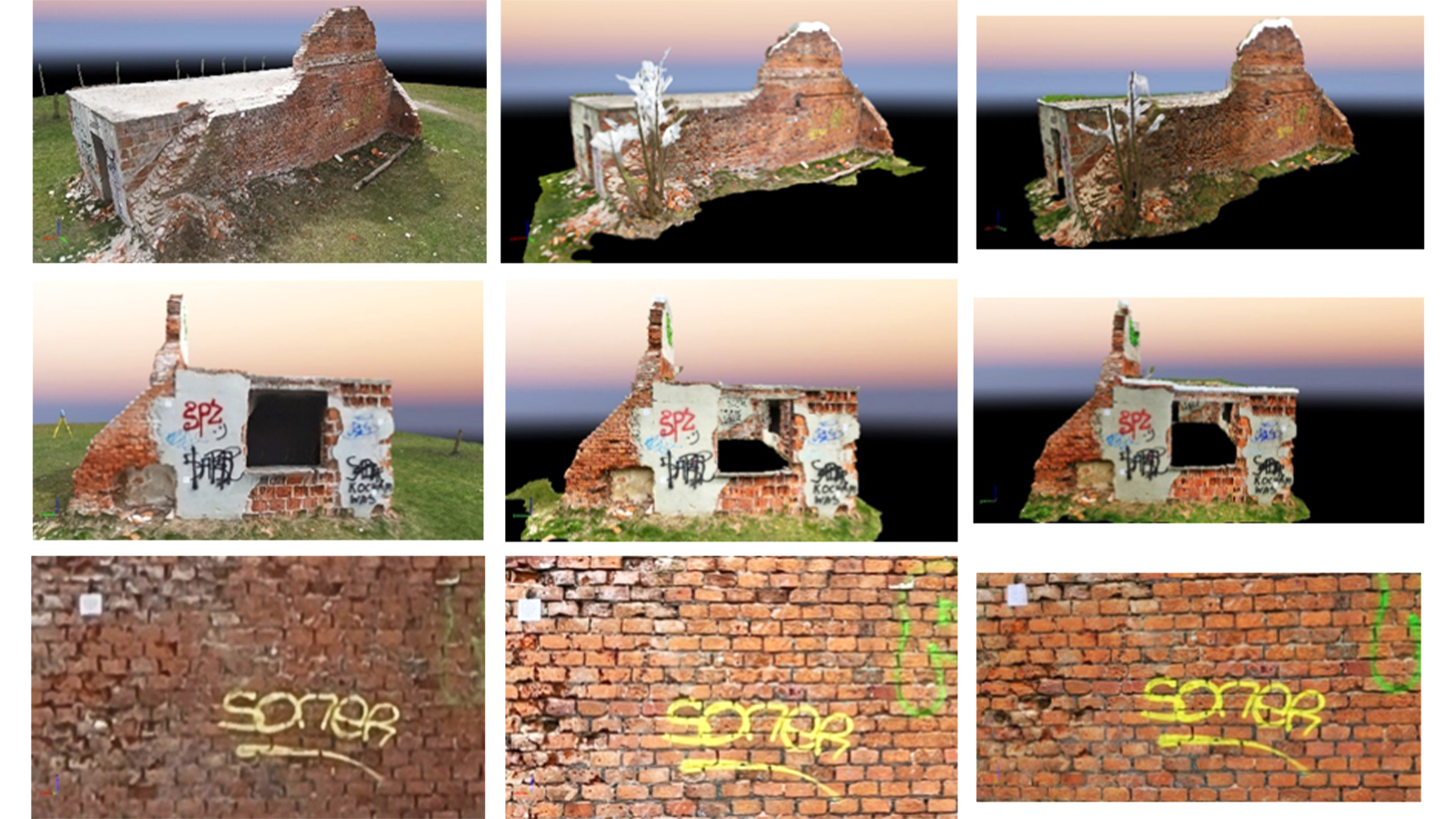
Which is best? The viDoc RTK or the P1 and DJI Matrice 300
How can you know whether to use a drone or a terrestrial rover - the viDoc? One team compared the results of both to test the accuracy.
What users are saying
Supported devices
The PIX4Dcatch RTK workflow with viDoc is specially designed for selected iOS devices equipped with LiDAR sensors (iPhones Pro and iPads), but also works with other iOS and Android models.
Get more information:
- Read the technical FAQ,
- Read the technical data specifications
- Read the product warranty policy.
