Pix4D names Puget Systems certified hardware provider
Pix4D and Puget Systems partner for specialized benchmark testing of Pix4D software on Puget Systems hardware.
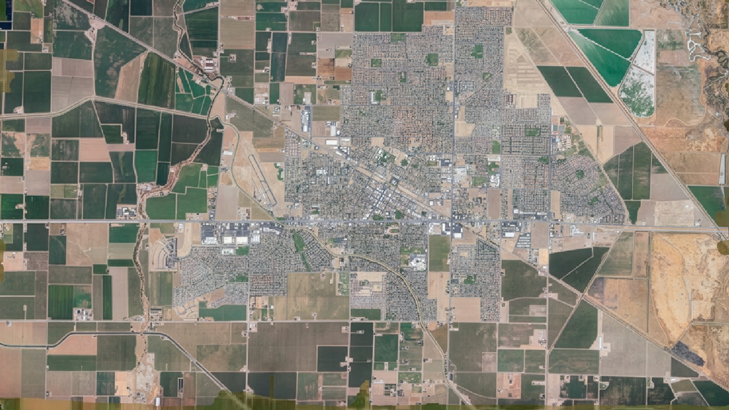
$25,875 fertilizer savings using PIX4Dfields
Custom fertilizer maps based on nitrogen levels in St. Augustine grass resulted in saving 34.5 tons of fertilizer.
PIX4Dmatic highlights 2025
A new orthomosaic editor, combine LiDAR point clouds with drone data, LandXML volume calculations, more accurate vector drafting & more!!
PIX4Dcloud highlights 2025
From georeferenced Gaussian Splatting for phone and drone, to scaling team collaboration, discover the top updates for PIX4Dcloud in 2025.
Drone mapping a 1,500-acre golf course with PIX4Dmatic
For high precision and speed, a land surveyor used PIX4Dmatic to map a large golf course in just three weeks, processing over 11,000 images!
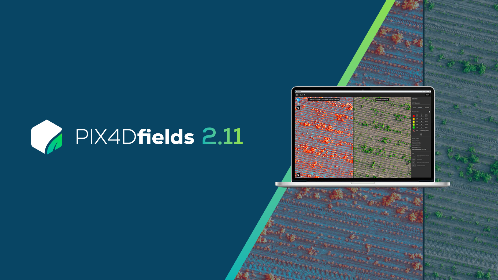
PIX4Dfields 2.11: access hidden crop insights
PIX4Dfields 2.11 introduces false color composite views, new tractor & spray drone exports, and more!
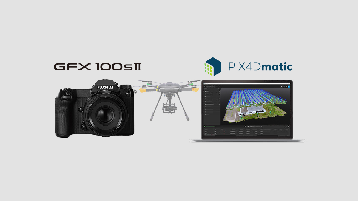
PIX4Dmatic now supports processing for FUJIFILM GFX100S II
Strengthening inspection and surveying workflows with 102-MP large-format images.
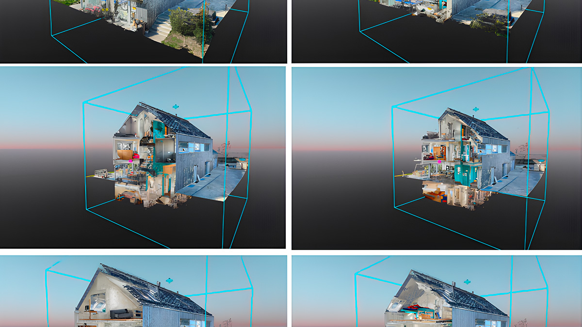
Indoor 3D scanning with PIX4Dcatch
Smartphone scanning poses a challenge in large indoor spaces due to "drift." We address this with Autotag detections. See our full workflow!
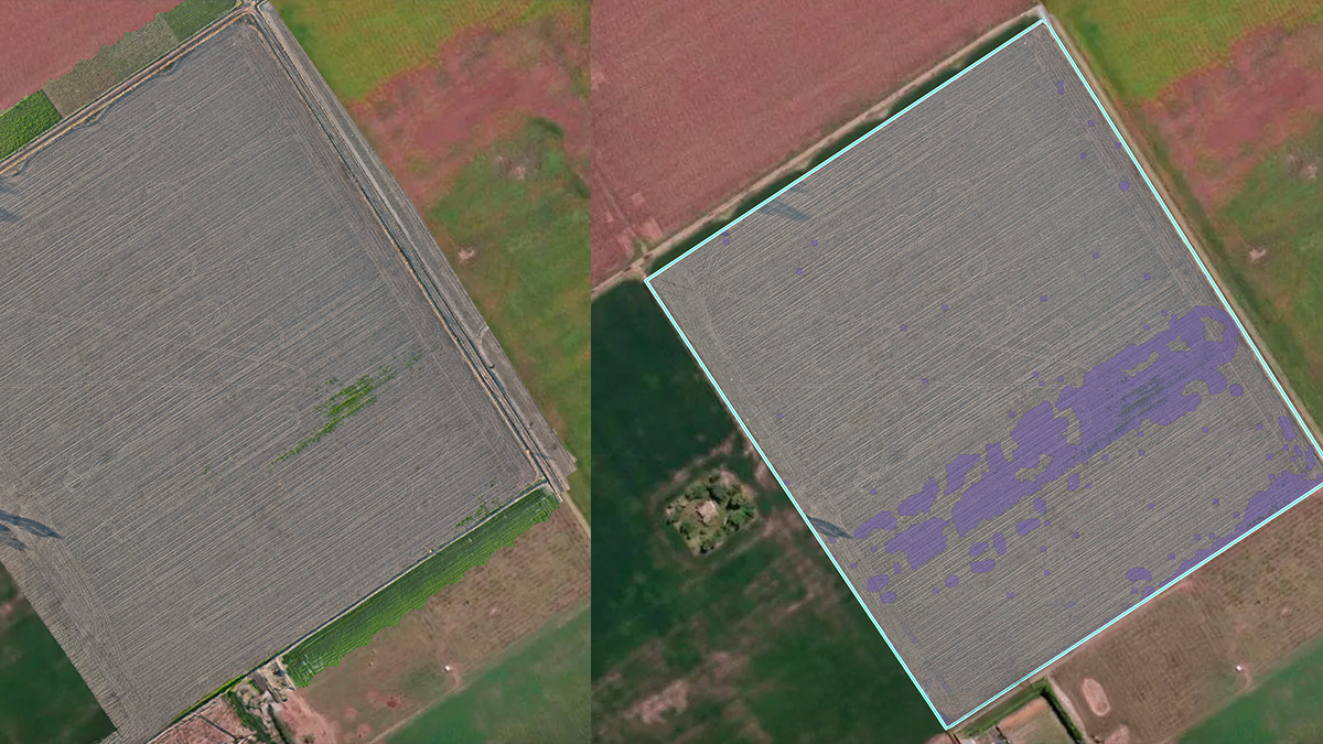
Spot-spraying Goosegrass in soybeans
A grower in Argentina used PIX4Dfields to spot-spray Goosegrass in soybeans. The result? Saving $1145 on a single spot spraying application.
test- Spot-spraying Goosegrass in soybeans (1)
A grower in Argentina used PIX4Dfields to spot-spray Goosegrass in soybeans. The result? Saving $1145 on a single spot spraying application.
Fighting disease: mosquito control with photogrammetry
To fight rising mosquito-borne illnesses, a team surveyed and delivered 37 sq mi of city-wide aerial maps in 24 hours.
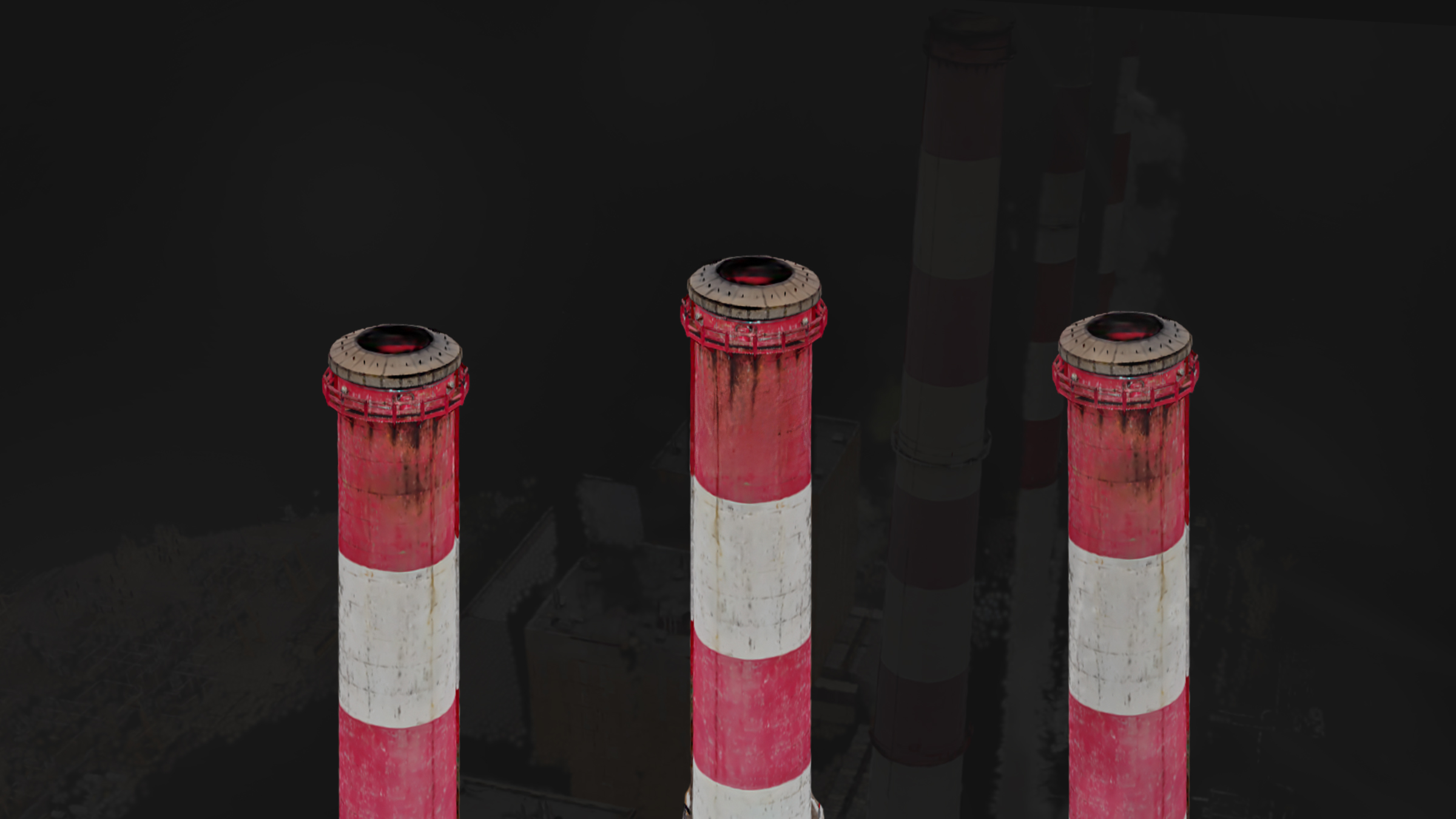
High-altitude utility inspection with drones and Pix4D
Inspecting a 600-ft stack is completed in a fraction of the time. Georeferenced Gaussian Splatting ensures a high-fidelity reconstruction.


